
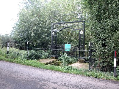
St. Plegmund's well, well in Plemstall, Cheshire, United Kingdom
Emplacement : Mickle Trafford and District
Coordonnées GPS : 53.22540,-2.81742
Dernière mise à jour : 4 mars 2025 à 13:53
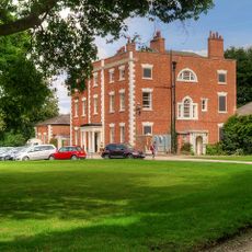
Trafford Hall
2.1 km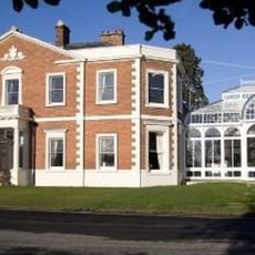
Hoole Hall
3.3 km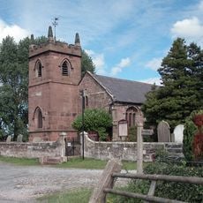
St Peter's Church
184 m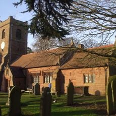
St Bartholomew's Church, Barrow
2.3 km
St Columba's Church, Chester
4 km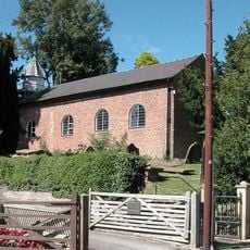
St John the Baptist's Church, Guilden Sutton
2.1 km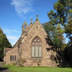
St Luke's Church, Dunham on the Hill
3.4 km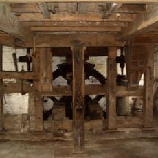
Trafford Mill
685 m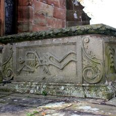
Vault, tombchest and memorial of the Hurleston family attached to east end of Church of St Peter
197 m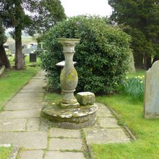
Sundial in the churchyard of St Peter
212 m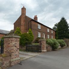
Smithy Farmhouse
2.9 km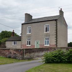
Manor Farmhouse
3 km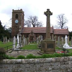
Great Barrow War Memorial
2.3 km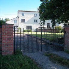
Picton Hall and Picton Hall Farmhouse
2.2 km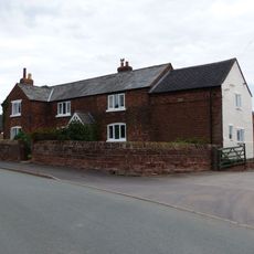
Town Farm Farmhouse
2.8 km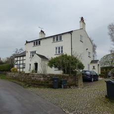
The White House
2.4 km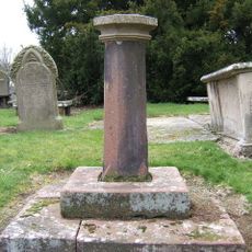
Sundial in St. Bartholomew's Churchyard
2.3 km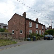
Pear Tree Farm House
3 km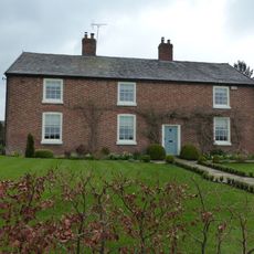
Little Barrow Hall
1.4 km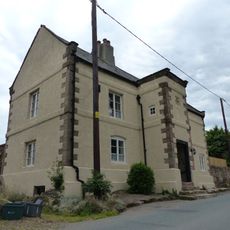
Dunhamhall Farmhouse
3.2 km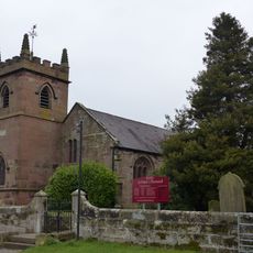
West wall and gate of the churchyard of St Peter
166 m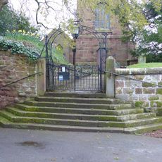
Gates, overthrow and gate piers to the Churchyard of St Bartholomew
2.3 km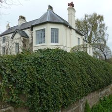
The Old Rectory
2.3 km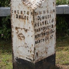
Milepost, roundabout jct of A55
3.9 km
Pinfold
2.6 km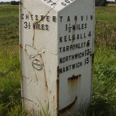
Milepost, S of Stamford Bridge
3.1 km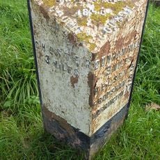
Milepost, N of Trafford House Farm
1.5 km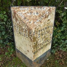
Milepost, Trafford Mill
831 mVous avez visité ce lieu ? Touchez les étoiles pour le noter et partager votre expérience ou vos photos avec la communauté ! Essayez maintenant ! Vous pouvez annuler à tout moment.
Trouvez des trésors cachés à chaque coin de rue !
Des petits cafés pittoresques aux points de vue planqués, fuyez la foule et dénichez les lieux qui vous ressemblent vraiment. Notre app vous facilite la vie : recherche vocale, filtres malins, itinéraires optimisés et bons plans partagés par des voyageurs du monde entier. Téléchargez vite pour vivre l'aventure en version mobile !

Une approche inédite de la découverte touristique❞
— Le Figaro
Tous les lieux qui valent la peine d'être explorés❞
— France Info
Une excursion sur mesure en quelques clics❞
— 20 Minutes