
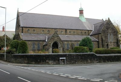
St Hilda's Church, Griffithstown, église britannique
Emplacement : Torfaen
Coordonnées GPS : 51.68440,-3.02760
Dernière mise à jour : 3 mars 2025 à 17:38
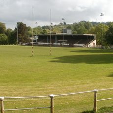
Pontypool Park
2 km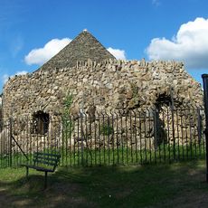
Shell Grotto
2.1 km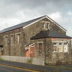
Griffithstown Railway Museum
1.3 km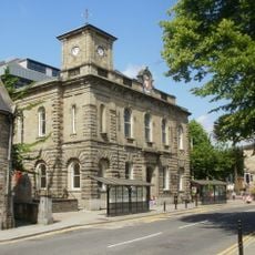
Town Hall
2.1 km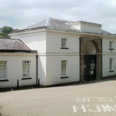
Torfaen Museum
2.3 km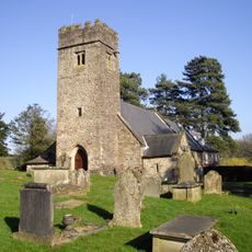
Church of St Mary
2 km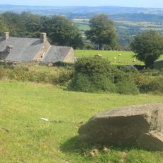
Capel-llwyd
1.5 km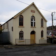
Upper Trosnant Baptist Church
1.9 km
Pontypool Library
2.1 km
Midland Bank
2.3 km
Junction House at Pontymoile Canal Basin, Monmouthshire and Brecon Canal
1.3 km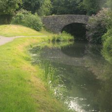
Canal Bridge No 47 on Monmouthshire and Brecon Canal
944 m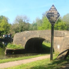
Bridge 53 at Pontymoile Basin, Monmouthshire and Brecon Canal
1.3 km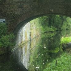
Canal Bridge at Coed-y-Gric
945 m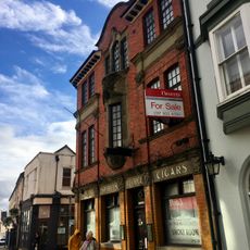
The George
2.2 km
The Greyhound PH
2.2 km
Aqueduct over Afon Lwyd, Monmouthshire and Brecon Canal
1.4 km
Barclay's Bank
2.3 km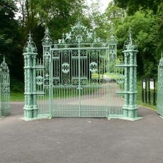
Entrance Gates To Pontypool Park.
1.6 km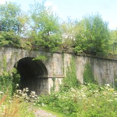
Old railway bridge at Coed-y-Gric
930 m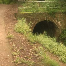
Canal Tunnel between Sebastopol and Cwmbran, including attached revetment walls
1.6 km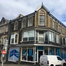
Manchester House, including Mayberry Pharmacy and the Good Job Club
2.2 km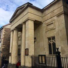
Crane Street Baptist Chapel
2.2 km
Old Market House (Second Thoughts)
2.3 km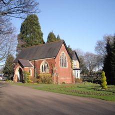
Panteg Cemetery Chapel
1.6 km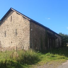
Barn on S side of Bevan's Lane
1.4 km
Milepost on Monmouthshire and Brecon Canal
1.5 km
Tir-brychiad
1.2 kmVous avez visité ce lieu ? Touchez les étoiles pour le noter et partager votre expérience ou vos photos avec la communauté ! Essayez maintenant ! Vous pouvez annuler à tout moment.
Trouvez des trésors cachés à chaque coin de rue !
Des petits cafés pittoresques aux points de vue planqués, fuyez la foule et dénichez les lieux qui vous ressemblent vraiment. Notre app vous facilite la vie : recherche vocale, filtres malins, itinéraires optimisés et bons plans partagés par des voyageurs du monde entier. Téléchargez vite pour vivre l'aventure en version mobile !

Une approche inédite de la découverte touristique❞
— Le Figaro
Tous les lieux qui valent la peine d'être explorés❞
— France Info
Une excursion sur mesure en quelques clics❞
— 20 Minutes