
Risinghurst and Sandhills, localité britannique du comté anglais d'Oxfordshire
Emplacement : Oxford
Partage une frontière avec : Horspath
Coordonnées GPS : 51.76250,-1.18889
Dernière mise à jour : 3 mars 2025 à 03:06
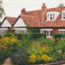
The Kilns
639 m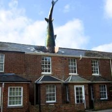
Requin de Headington
1.7 km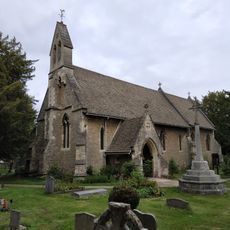
Holy Trinity Church
824 m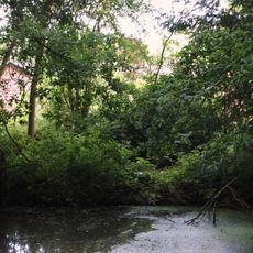
CS Lewis Nature Reserve
706 m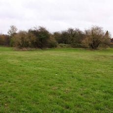
Rock Edge Nature Reserve
1.4 km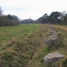
Brasenose Wood and Shotover Hill
260 m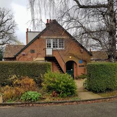
The Kilns (C S Lewis House)
629 m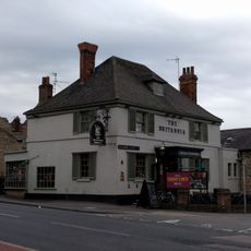
The Britannia Public House
1.8 km
Church of England School
765 m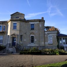
Bury Knowle
1.4 km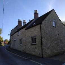
3, Larkins Lane
1.5 km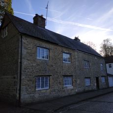
1 and 2, North Place
1.5 km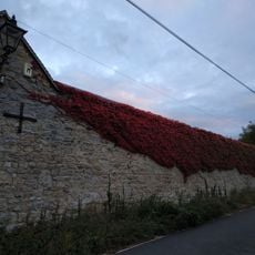
Wall of Mathers Farm Fronting Larkins Lane
1.5 km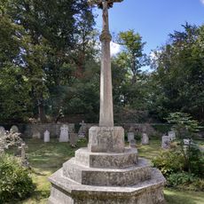
Headington Quarry War Memorial
838 m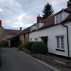
9, The Croft
1.6 km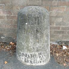
Stone In London Road Outside Number 196
1.2 km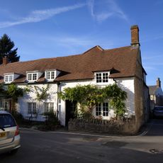
11, The Croft
1.6 km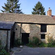
Building At Rear Of Number 12 (Fronting The Croft)
1.6 km
1 and 3, St Andrews Road
1.5 km
Barn Of Mathers Farm
1.5 km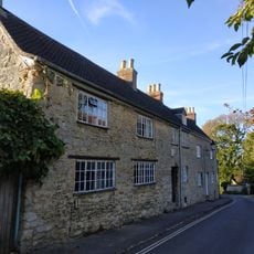
1 and 2, Larkins Lane
1.5 km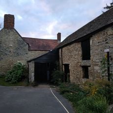
8, The Croft
1.6 km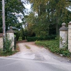
Wall And Gatepiers Of The Grange
1.5 km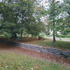
Boundary Wall Of Bury Knowle
1.4 km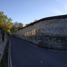
Wall of Headington House
1.5 km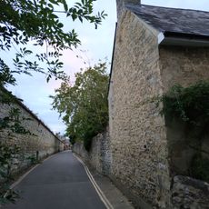
Boundary Wall Of Number 56 Fronting The Croft
1.5 km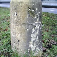
Milestone Approximately 98 Metres West Of Junction With Merewood Avenue
391 m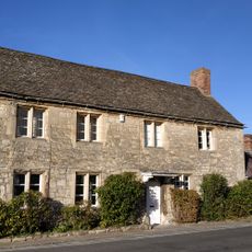
Mathers Farmhouse
1.5 kmAvis
Vous avez visité ce lieu ? Touchez les étoiles pour le noter et partager votre expérience ou vos photos avec la communauté ! Essayez maintenant ! Vous pouvez annuler à tout moment.
Trouvez des trésors cachés à chaque coin de rue !
Des petits cafés pittoresques aux points de vue planqués, fuyez la foule et dénichez les lieux qui vous ressemblent vraiment. Notre app vous facilite la vie : recherche vocale, filtres malins, itinéraires optimisés et bons plans partagés par des voyageurs du monde entier. Téléchargez vite pour vivre l'aventure en version mobile !

Une approche inédite de la découverte touristique❞
— Le Figaro
Tous les lieux qui valent la peine d'être explorés❞
— France Info
Une excursion sur mesure en quelques clics❞
— 20 Minutes