
Olveston, village britannique
Emplacement : South Gloucestershire
Coordonnées GPS : 51.58330,-2.58333
Dernière mise à jour : 3 mars 2025 à 18:49
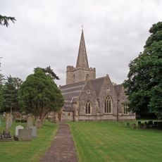
Church of St John
1 km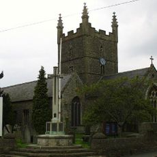
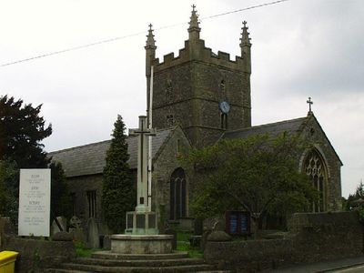
Church of St Mary
393 m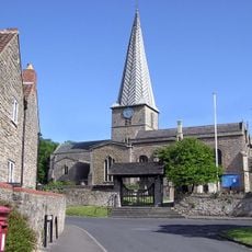
Church of St Mary
3.3 km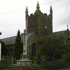
Olveston War Memorial With Associated Steps And Flanking Dwarf Walls
430 m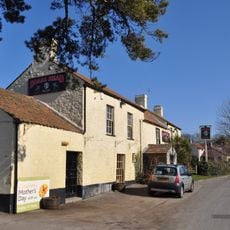
The Boar's Head
2.8 km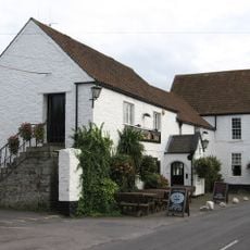
The Swan
1.5 km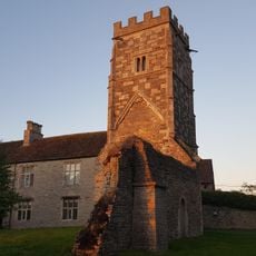
Ruin of St Helen's Church, Rudgeway
3.6 km
Old Church Farm
3.6 km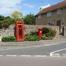
K6 Telephone Kiosk, Lower Almondsbury
3.2 km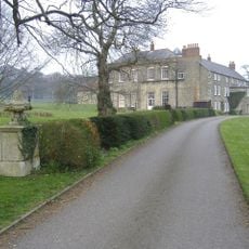
Tockington Manor School
1.6 km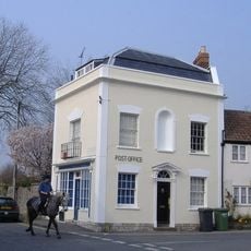
Post Office
448 m
Old Manor
1.1 km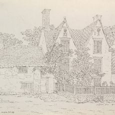
Northwick House Farmhouse With Attached Barn And Dairy Range
3.7 km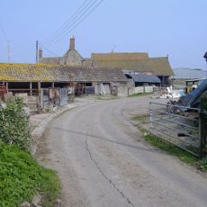
Cattybrook Farmhouse
4 km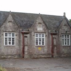
Sandfords Charity School
3.8 km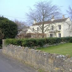
Beachcroft
577 m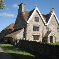
Rookery Farmhouse
3.5 km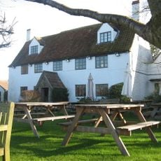
The White Hart
2.7 km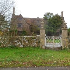
Pair Of Gate Piers And Attached Wall And Mounting Block About 18 Metres South Of Rock House
1.5 km
Court Farmhouse
1.6 km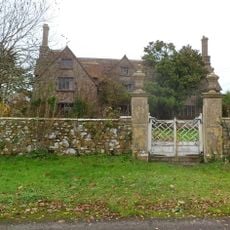
Rock House
1.5 km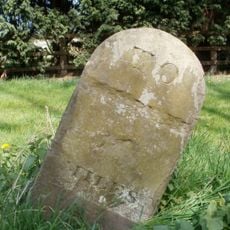
Milestone, New Leaze opposite house
420 m
Bowl barrow re-used as a moot 205m SSE of Chelwood
3.1 km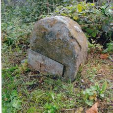
Milestone, North of entrance to Tockington Park Farm
2.8 km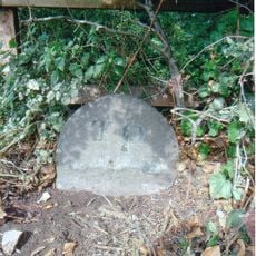
Milestone, Gloucester Road at ST624863
2.9 km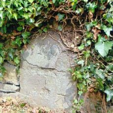
Milestone, Tockington, W of village
1.4 km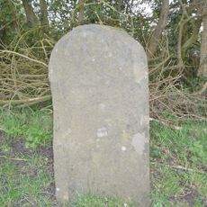
Milestone, Gloucester Road, next to M5
3.1 km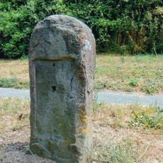
Milestone, opp. Heatherfield
3.5 kmVous avez visité ce lieu ? Touchez les étoiles pour le noter et partager votre expérience ou vos photos avec la communauté ! Essayez maintenant ! Vous pouvez annuler à tout moment.
Trouvez des trésors cachés à chaque coin de rue !
Des petits cafés pittoresques aux points de vue planqués, fuyez la foule et dénichez les lieux qui vous ressemblent vraiment. Notre app vous facilite la vie : recherche vocale, filtres malins, itinéraires optimisés et bons plans partagés par des voyageurs du monde entier. Téléchargez vite pour vivre l'aventure en version mobile !

Une approche inédite de la découverte touristique❞
— Le Figaro
Tous les lieux qui valent la peine d'être explorés❞
— France Info
Une excursion sur mesure en quelques clics❞
— 20 Minutes