
Oakthorpe and Donisthorpe, localité britannique du comté anglais de Leicestershire
Emplacement : North West Leicestershire
Coordonnées GPS : 52.71800,-1.52800
Dernière mise à jour : 29 mars 2025 à 18:14
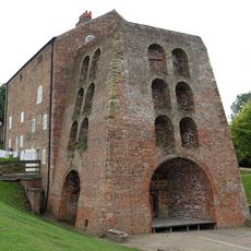
Moira Furnace
1.7 km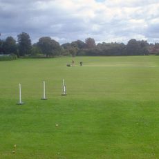
Bath Grounds
4.7 km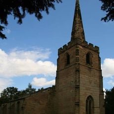
St Michael's Church, Stretton en le Field
2.2 km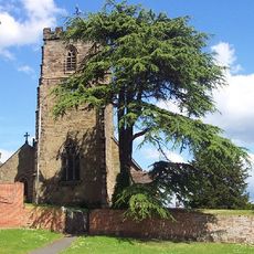
St Peter's Church, Netherseal
3.2 km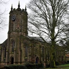
Holy Trinity Church
4.7 km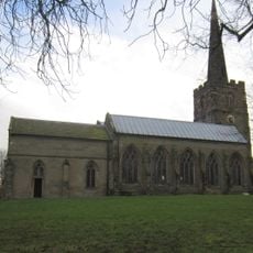
Church of St Michael
3.7 km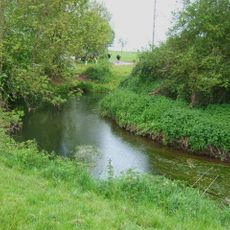
River Mease SSSI
4.6 km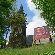
Parish Church of St Margaret of Antioch
4.8 km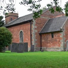
Church of St Bartholomew
4.6 km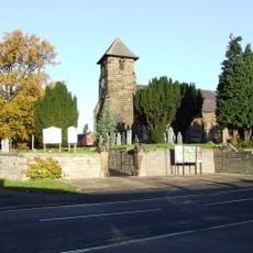
Church of St Matthew
3.2 km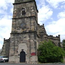
Church of St Lawrence
2 km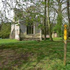
Church of St Thomas
2.4 km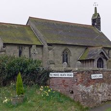
Church of St Matthew
4.1 km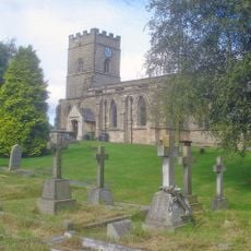
Church of the Holy Rood
4 km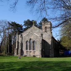
Church of St John the Evangelist
685 m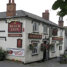
The Black Lion Public House
4.7 km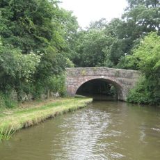
Number 60 Bridge
4.4 km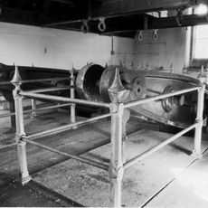
Snarestone Pumping Station
4.4 km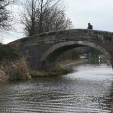
Number 61 Turnover Bridge
4.4 km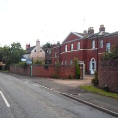
Overseal House
2.8 km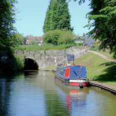
Snarestone Tunnel Entrances
4.8 km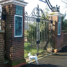
Donisthorpe War Memorial Gateway
639 m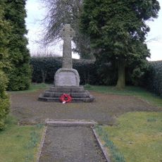
Snarestone War Memorial
4.9 km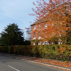
Manor Farmhouse
4.8 km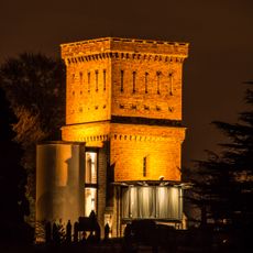
Ashby-de-la-Zouch Water Tower
4.5 km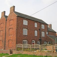
Hurst Farmhouse
3.9 km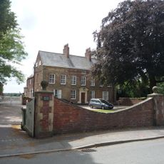
Beech House
4.9 km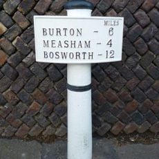
Milepost, Burton Road, by No. 6
3.3 kmAvis
Vous avez visité ce lieu ? Touchez les étoiles pour le noter et partager votre expérience ou vos photos avec la communauté ! Essayez maintenant ! Vous pouvez annuler à tout moment.
Trouvez des trésors cachés à chaque coin de rue !
Des petits cafés pittoresques aux points de vue planqués, fuyez la foule et dénichez les lieux qui vous ressemblent vraiment. Notre app vous facilite la vie : recherche vocale, filtres malins, itinéraires optimisés et bons plans partagés par des voyageurs du monde entier. Téléchargez vite pour vivre l'aventure en version mobile !

Une approche inédite de la découverte touristique❞
— Le Figaro
Tous les lieux qui valent la peine d'être explorés❞
— France Info
Une excursion sur mesure en quelques clics❞
— 20 Minutes