
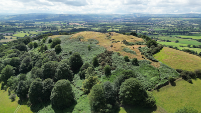
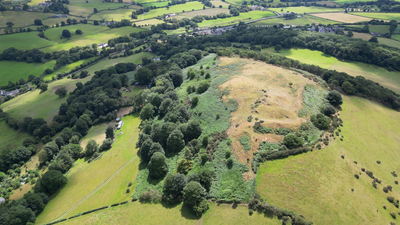
Moel y Gaer, Bodfari, hillfort in Denbighshire, Wales
Emplacement : Denbighshire
Altitude : 200 m
Coordonnées GPS : 53.22650,-3.35680
Dernière mise à jour : 10 mars 2025 à 10:08
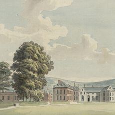
Lleweni Hall
2.6 km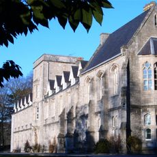
St Beuno's Ignatian Spirituality Centre
3.8 km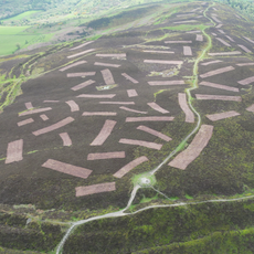
Penycloddiau
4.3 km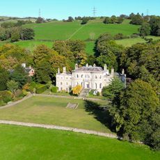
Brynbella
2.1 km
Moel y Parc
2.5 km
Llannerch Hall
4.4 km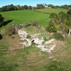
Ffynnon Beuno and Cae Gwyn Caves
1.9 km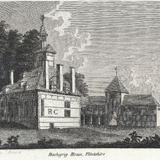
Bachegraig
2.1 km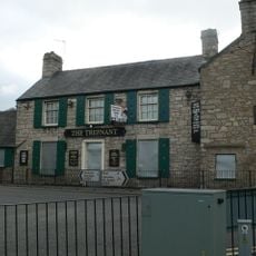
The Trefnant Inn
4.3 km
Church of Corpus Christi (Holy Trinity)
2.6 km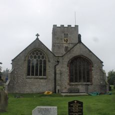
Church Of St Michael
3.8 km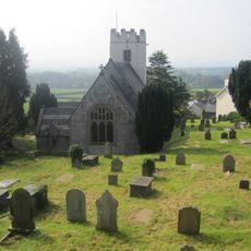
Church of St Stephen
734 m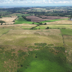
Moel Maenefa
3.7 km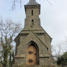
The Rock Chapel
3.2 km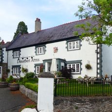
Dinorben Arms Public House
768 m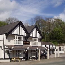
Pwllgwyn Hotel
3.3 km
Waungoleugoed
4.1 km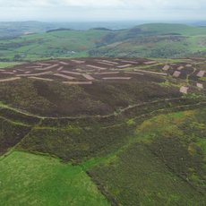
Penycloddiau
4.3 km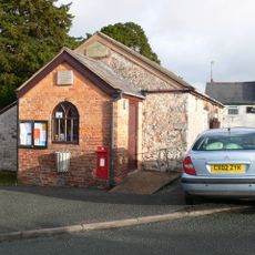
Old School (now Village Hall)
2.6 km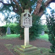
Tremeirchion Cross
3.7 km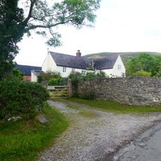
Aberwheeler House
938 m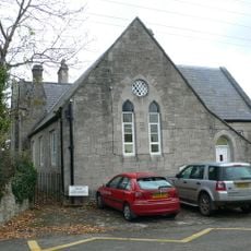
Trefnant School
4.4 km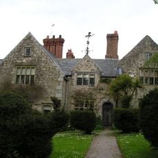
Henblas Hall
1.6 km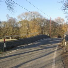
Pont Llannerch
3.8 km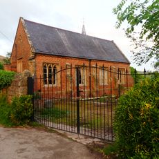
The Old School and Schoolhouse
731 m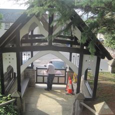
Lychgate and steps to St Stephen's Church
764 m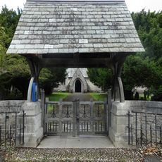
Lychgate at Holy Trinity Church
4.5 km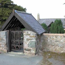
Lychgate of Tremeirchion Parish Church
2.6 kmAvis
Vous avez visité ce lieu ? Touchez les étoiles pour le noter et partager votre expérience ou vos photos avec la communauté ! Essayez maintenant ! Vous pouvez annuler à tout moment.
Trouvez des trésors cachés à chaque coin de rue !
Des petits cafés pittoresques aux points de vue planqués, fuyez la foule et dénichez les lieux qui vous ressemblent vraiment. Notre app vous facilite la vie : recherche vocale, filtres malins, itinéraires optimisés et bons plans partagés par des voyageurs du monde entier. Téléchargez vite pour vivre l'aventure en version mobile !

Une approche inédite de la découverte touristique❞
— Le Figaro
Tous les lieux qui valent la peine d'être explorés❞
— France Info
Une excursion sur mesure en quelques clics❞
— 20 Minutes