
Lutton, village britannique
Emplacement : North Northamptonshire
Coordonnées GPS : 52.47410,-0.35990
Dernière mise à jour : 2 mars 2025 à 21:15
Elton Hall
6.3 km
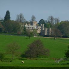
Ashton Wold
2.3 km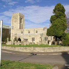
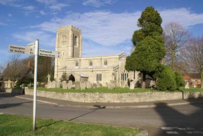
Church of St Peter
403 m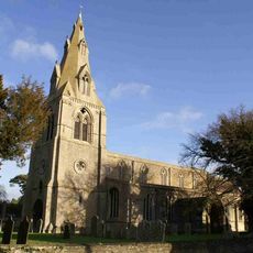
Church of St Mary the Virgin
5.1 km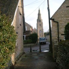
Church of All Saints
4.7 km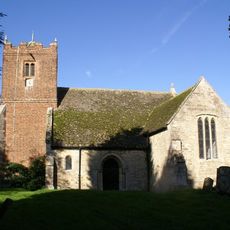
Parish Church of All Saints
4.7 km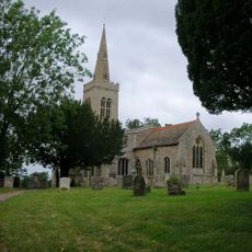
Parish Church of St Michael
4.4 km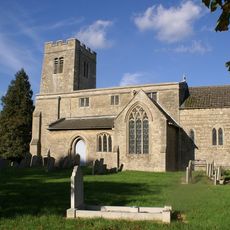
Parish Church of St Mary
5.4 km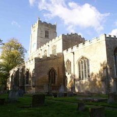
Parish Church of St Nicholas
4.1 km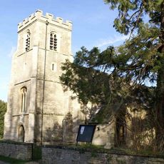
Church of St Peter and St Paul
3.4 km
Parish Church of St Mary Magdalene
2.7 km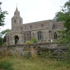
Church of St Margaret
4 km
Parish Church of St Mary
4.8 km
Parish Church of St Helen
4.2 km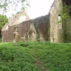
Parish Church of All Saints
3.5 km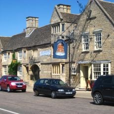
The Bell Inn
5.1 km
16 Overend
6.5 km
Polebrook Hall and attached Wall with Gatearch
4.5 km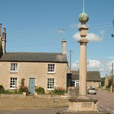
Polebrook and Armston War Memorial
4.7 km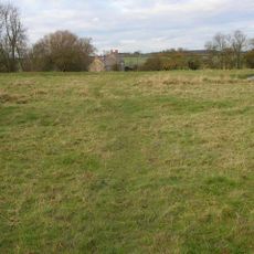
Papley deserted medieval village, moat and fishpond, near Warmington.
1.7 km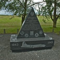
351st Bombardment Group USAAF Memorial, Polebrook
1.6 km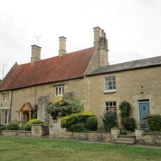
Greyston House
4.7 km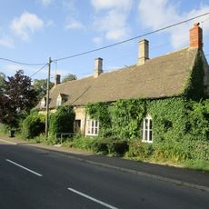
Brook Farmhouse
529 m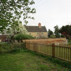
Manor Farmhouse
4.6 km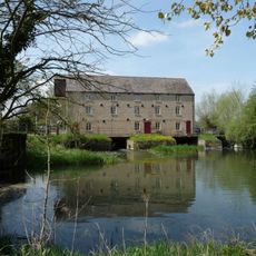
Warmington Mill
5.8 km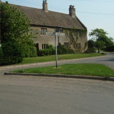
Manor Farmhouse
347 m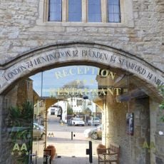
Milestone, High Street, Bell Inn
5.1 km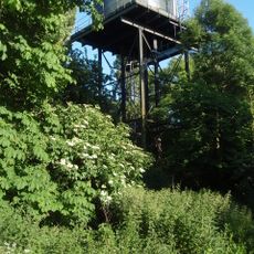
Water Tower
2.6 kmAvis
Vous avez visité ce lieu ? Touchez les étoiles pour le noter et partager votre expérience ou vos photos avec la communauté ! Essayez maintenant ! Vous pouvez annuler à tout moment.
Trouvez des trésors cachés à chaque coin de rue !
Des petits cafés pittoresques aux points de vue planqués, fuyez la foule et dénichez les lieux qui vous ressemblent vraiment. Notre app vous facilite la vie : recherche vocale, filtres malins, itinéraires optimisés et bons plans partagés par des voyageurs du monde entier. Téléchargez vite pour vivre l'aventure en version mobile !

Une approche inédite de la découverte touristique❞
— Le Figaro
Tous les lieux qui valent la peine d'être explorés❞
— France Info
Une excursion sur mesure en quelques clics❞
— 20 Minutes