
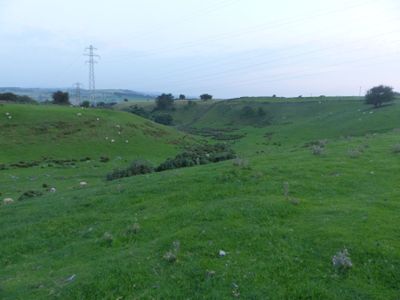
Ludworth Intake
Emplacement : Chisworth
Coordonnées GPS : 53.41690,-2.00833
Dernière mise à jour : 11 mars 2025 à 09:24
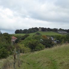
Mellor hill fort
2.6 km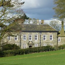
Mellor Hall
2.1 km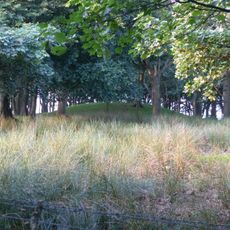
Brown Low
758 m
Church of St John the Evangelist
2 km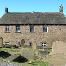
Independent Chapel
2.2 km
Pear Tree Farmhouse
2.2 km
Broadbottom Hall
2.5 km
Botham's Hall
2.2 km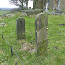
Stocks in graveyard of Church of St Thomas the Apostle
2.6 km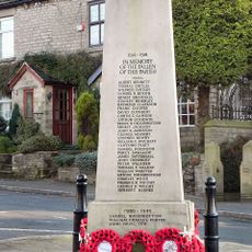
Charlesworth War Memorial
2.1 km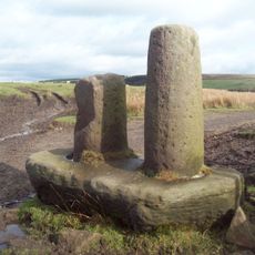
Robin Hood's Picking Rods
1.1 km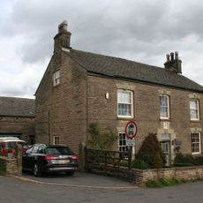
Anderton House
2.5 km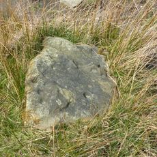
Cup-marked stone 80m east of Robin Hood's Picking Rods
1.2 km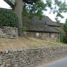
Barn at Pear Tree Farm
2.2 km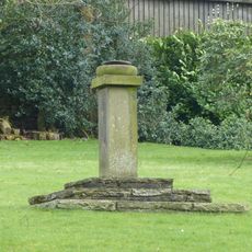
Sundial At Mellor Hall
2.1 km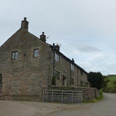
Sandy Lane Farmhouse
984 m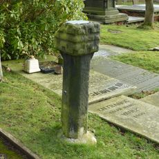
Remains of Saxon cross in graveyard of Church of St Thomas the Apostle
2.6 km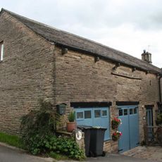
Former barn to Anderton House
2.5 km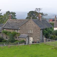
Fold Farmhouse
606 m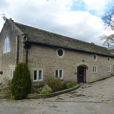
Outbuilding to west of Mellor Hall and north of barn
2.1 km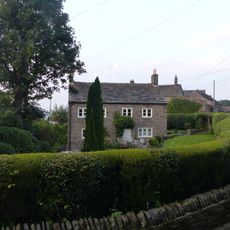
Thornlea Farmhouse
599 m
Barn at Hollins Farm
2.4 km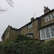
30 and 32, Mill Brow
2.1 km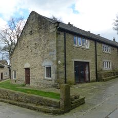
Barn to south west of Mellor Hall
2.1 km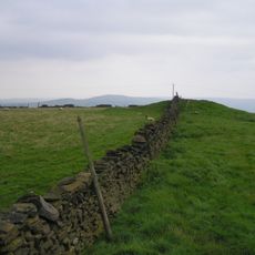
Cairn on Ludworth Intakes
594 m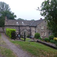
Rivendell Farmhouse and attached cottage
2.1 km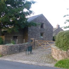
Hilltop Farmhouse
735 m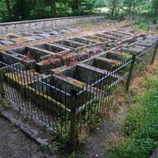
Stone Bleaching Baths
2.5 kmAvis
Vous avez visité ce lieu ? Touchez les étoiles pour le noter et partager votre expérience ou vos photos avec la communauté ! Essayez maintenant ! Vous pouvez annuler à tout moment.
Trouvez des trésors cachés à chaque coin de rue !
Des petits cafés pittoresques aux points de vue planqués, fuyez la foule et dénichez les lieux qui vous ressemblent vraiment. Notre app vous facilite la vie : recherche vocale, filtres malins, itinéraires optimisés et bons plans partagés par des voyageurs du monde entier. Téléchargez vite pour vivre l'aventure en version mobile !

Une approche inédite de la découverte touristique❞
— Le Figaro
Tous les lieux qui valent la peine d'être explorés❞
— France Info
Une excursion sur mesure en quelques clics❞
— 20 Minutes