
Llanharry, village britannique
Emplacement : Rhondda Cynon Taf
Coordonnées GPS : 51.51460,-3.43520
Dernière mise à jour : 3 mars 2025 à 23:37

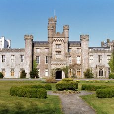
Hensol Castle
4.5 km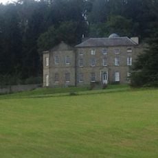
Llanharan House
2.7 km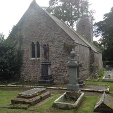
St Senwyr's Church
3.2 km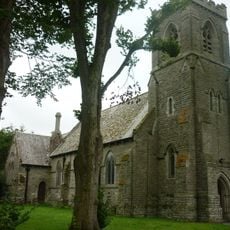
St David's Church
4.2 km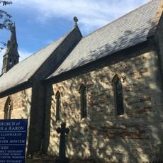
Church of SS Julius and Aaron
2.7 km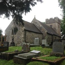
Church of SS Ilid and Curig
2.8 km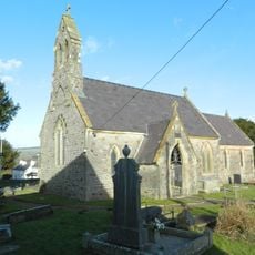
Church of St Illtyd
118 m
Church of St Ann
2.2 km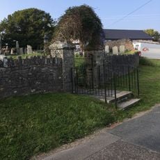
Churchyard Wall and Gates of Church of St. Owain
2.9 km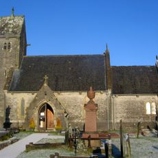
St Owain's Church
2.9 km
Ebenezer Calvinistic Methodist Chapel
4.1 km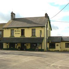
Miskin Arms
4.1 km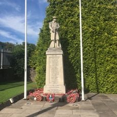
Llanharan War Memorial
2.7 km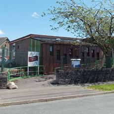
Pontyclun Library
3 km
Cow Shed at Ynysmaerdy Farm (formerly stores of Llantrisant Colliery)
4.6 km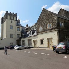
Talygarn
2.7 km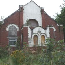
Bethany Calvinistic Methodist Chapel
2.4 km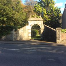
Gateway and gate to W boundary at Talygarn
2.3 km
Y Felin Wynt Tower
4.8 km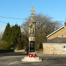
Miskin War Memorial
4.2 km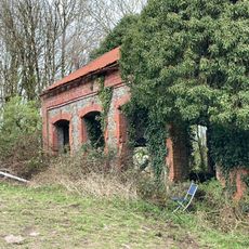
Hay barn at Ynysmaerdy Farm (former winding engine house of Llantrisant Colliery)
4.4 km
Pantyquesta House
3.8 km
Boiler stack of former lead mine NW of Cefn-parc Farm
4.6 km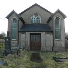
Peniel Independent Chapel
423 m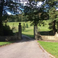
Gate piers, gates and railings at main entrance to Llanharan House
2.5 km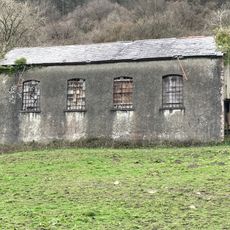
Garage at Ynysmaerdy Farm (formerly part of Llantrisant Colliery)
4.4 km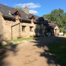
Llechau
1.2 km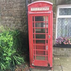
Telephone Call-box
4.2 kmAvis
Vous avez visité ce lieu ? Touchez les étoiles pour le noter et partager votre expérience ou vos photos avec la communauté ! Essayez maintenant ! Vous pouvez annuler à tout moment.
Trouvez des trésors cachés à chaque coin de rue !
Des petits cafés pittoresques aux points de vue planqués, fuyez la foule et dénichez les lieux qui vous ressemblent vraiment. Notre app vous facilite la vie : recherche vocale, filtres malins, itinéraires optimisés et bons plans partagés par des voyageurs du monde entier. Téléchargez vite pour vivre l'aventure en version mobile !

Une approche inédite de la découverte touristique❞
— Le Figaro
Tous les lieux qui valent la peine d'être explorés❞
— France Info
Une excursion sur mesure en quelques clics❞
— 20 Minutes