
Linwood, localité britannique du comté anglais de Lincolnshire
Emplacement : West Lindsey
Coordonnées GPS : 53.36440,-0.33309
Dernière mise à jour : 29 avril 2025 à 15:23
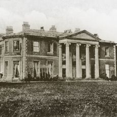
Willingham House
3.7 km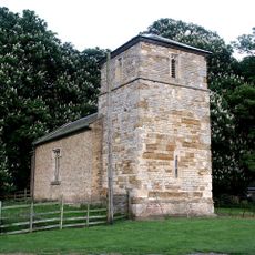
St Michael's Church, Buslingthorpe
3.4 km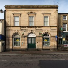
Corn Exchange
2.6 km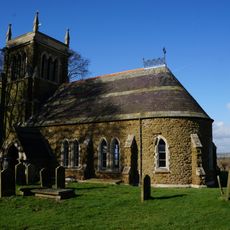
Church of All Saints
6 km
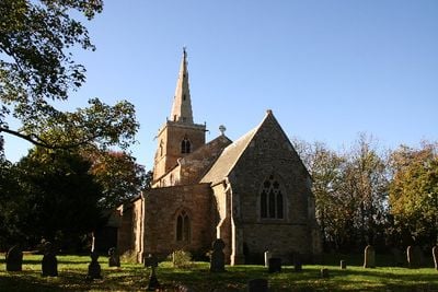
Church of St Peter
3.7 km
Church of All Saints
5.3 km
Church of St Peter and St Lawrence
5.1 km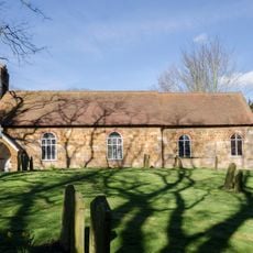
Church of St John the Baptist
3 km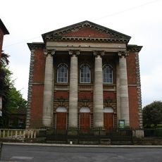
Methodist Centenary Chapel
2.4 km
Church of All Saints
5.3 km
Church of St Thomas
2.8 km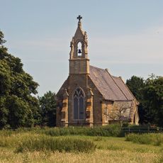
Church of St Michael
4.9 km
Church of St Thomas
2.7 km
Church of All Saints
4.7 km
Church of St Cornelius
972 m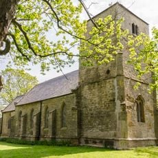
Church of St Peter
5 km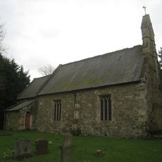
Church of St Mary
5.2 km
Church of St Thomas
5.6 km
Methodist Chapel
6.1 km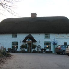
The Kings Head Public House
6 km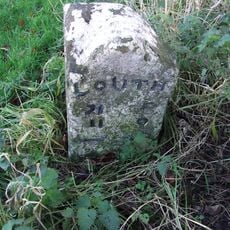
Milestone In Village Centre On South Side Of Road
5.7 km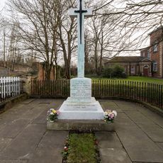
Market Rasen War Memorial
2.4 km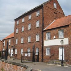
Corn Mill
2.7 km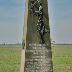
RAF Wickenby Memorial
5.6 km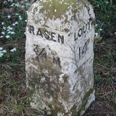
Milestone Opposite No 65
2.4 km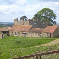
Castle Farmhouse
6.1 km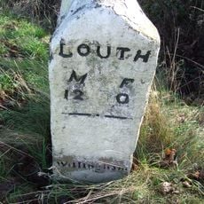
Milestone On South Side Of Road Near Lowfield Farm
4.3 km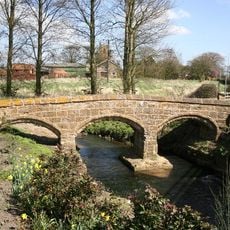
Packhorse Bridge Over River Rasen
5.4 kmVous avez visité ce lieu ? Touchez les étoiles pour le noter et partager votre expérience ou vos photos avec la communauté ! Essayez maintenant ! Vous pouvez annuler à tout moment.
Trouvez des trésors cachés à chaque coin de rue !
Des petits cafés pittoresques aux points de vue planqués, fuyez la foule et dénichez les lieux qui vous ressemblent vraiment. Notre app vous facilite la vie : recherche vocale, filtres malins, itinéraires optimisés et bons plans partagés par des voyageurs du monde entier. Téléchargez vite pour vivre l'aventure en version mobile !

Une approche inédite de la découverte touristique❞
— Le Figaro
Tous les lieux qui valent la peine d'être explorés❞
— France Info
Une excursion sur mesure en quelques clics❞
— 20 Minutes