
Kirstead, civil parish in Norfolk, UK
Emplacement : South Norfolk
Coordonnées GPS : 52.52610,1.38905
Dernière mise à jour : 21 mars 2025 à 23:10
St Peter's Church
2.2 km
Église Saint-Pierre
2.6 km
Church of St Margaret, Kirstead
1.1 km
Church of St Mary
4.1 km
Church of St Peter and St Paul
2.7 km
Church of St Andrew
4.3 km
Church of St Peter
4.2 km
Church of St Mary
3.6 km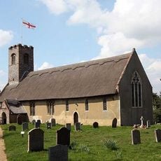
Church of St Ethelbert
4.3 km
Church of St Margaret
2 km
Church of All Saints
3.1 km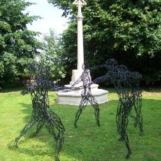
Bergh Apton War Memorial
2.7 km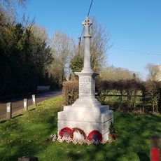
Seething War Memorial
2 km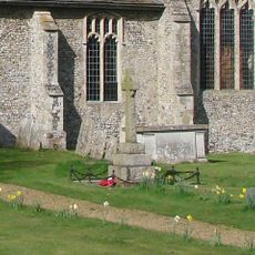
Bedingham War Memorial
4.3 km
Brooke War Memorial
2.2 km
Kirstead War Memorial
1.1 km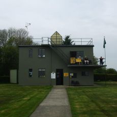
Seething Control Tower Museum
3.6 km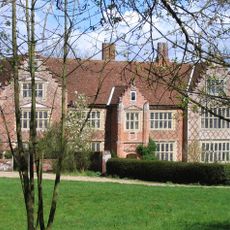
Kirstead Hall
1.3 km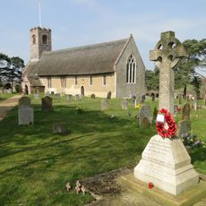
Thurton War Memorial
4.3 km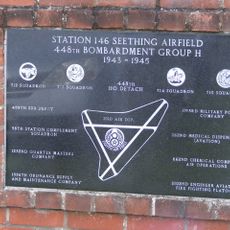
448th Bombardment Group USAAF control tower memorial, Seething
2.7 km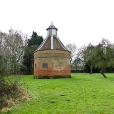
Dovecote At Kirstead Hall
1.2 km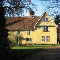
Walnut Tree Farmhouse
675 m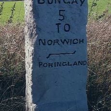
Milestone, c.140yds S of Dawn House, Norwich Road
4.5 km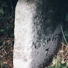
Milestone, 55yds E of end of cul-de-sac (old road)
4.6 km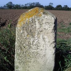
Milestone, Norwich Rd, S of jct with Entrance Lane
2.9 km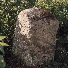
Milestone, 250yds S of entrance to Brooke House Park
1.7 km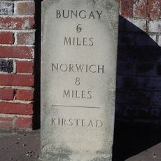
Milestone, Kirstead Green, opp. St Christopher's Close
727 m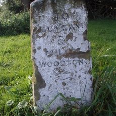
Milestone, Entrance to Old Hall Farm, Norwich Rd
2.1 kmVous avez visité ce lieu ? Touchez les étoiles pour le noter et partager votre expérience ou vos photos avec la communauté ! Essayez maintenant ! Vous pouvez annuler à tout moment.
Trouvez des trésors cachés à chaque coin de rue !
Des petits cafés pittoresques aux points de vue planqués, fuyez la foule et dénichez les lieux qui vous ressemblent vraiment. Notre app vous facilite la vie : recherche vocale, filtres malins, itinéraires optimisés et bons plans partagés par des voyageurs du monde entier. Téléchargez vite pour vivre l'aventure en version mobile !

Une approche inédite de la découverte touristique❞
— Le Figaro
Tous les lieux qui valent la peine d'être explorés❞
— France Info
Une excursion sur mesure en quelques clics❞
— 20 Minutes