
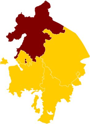
Hemlingford, one of the four hundreds that the English county of Warwickshire was divided into
Emplacement : Warwickshire
Coordonnées GPS : 52.50000,-1.75000
Dernière mise à jour : 3 mars 2025 à 23:41

Fort Dunlop
4.3 km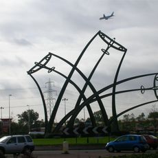
Sentinel
3.6 km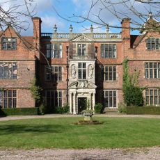
Castle Bromwich Hall
2.9 km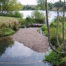
Babbs Mill Lake
1.5 km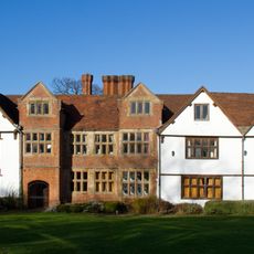
Sheldon Hall
1.9 km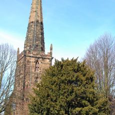
St Edburgha's Church, Yardley
4.6 km
Pype Hayes Hall
4.9 km
Blyth Hall
4 km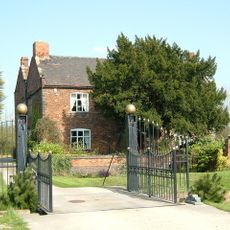
Peddimore Hall
4.9 km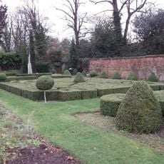
Castle Bromwich Hall Gardens
2.9 km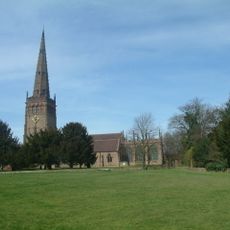
Church of St Peter and St Paul, Coleshill
3 km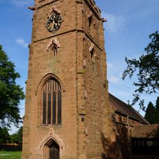
Parish Church of St Giles
4.9 km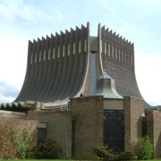
Our Lady Help of Christians Church
2.6 km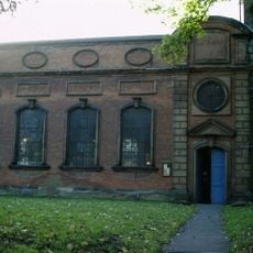
St Mary and St Margaret's Church, Castle Bromwich
2.9 km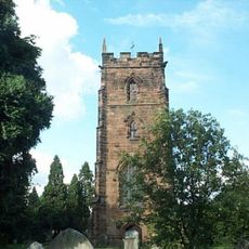
Church of St Nicholas and St Peter ad Vincula, Curdworth
3.7 km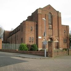
St Mary's
4.8 km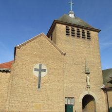
All Saints' Church
1.9 km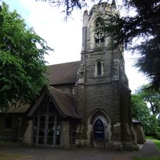
St Peter and St Paul's Church, Water Orton
2 km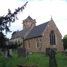
Church of St John the Baptist
4.9 km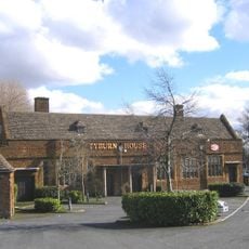
The Tyburn Public House (Including Outbuilding And Courtyard Wall To East)
4 km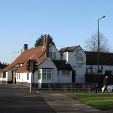
The White Hart Public House
2.1 km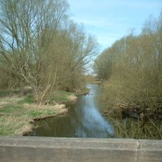
Blyth Bridge (That Part In Coleshill Civil Parish)
4.1 km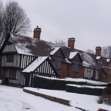
Trust School
4.6 km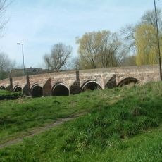
Cole Bridge
2.9 km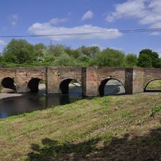
Water Orton Bridge
2.3 km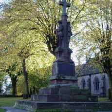
Coleshill War Memorial, Warwickshire
3 km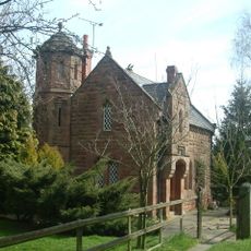
Blythe Lodge
4.3 km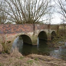
Blyth Hall Packhorse Bridge
4.4 kmVous avez visité ce lieu ? Touchez les étoiles pour le noter et partager votre expérience ou vos photos avec la communauté ! Essayez maintenant ! Vous pouvez annuler à tout moment.
Trouvez des trésors cachés à chaque coin de rue !
Des petits cafés pittoresques aux points de vue planqués, fuyez la foule et dénichez les lieux qui vous ressemblent vraiment. Notre app vous facilite la vie : recherche vocale, filtres malins, itinéraires optimisés et bons plans partagés par des voyageurs du monde entier. Téléchargez vite pour vivre l'aventure en version mobile !

Une approche inédite de la découverte touristique❞
— Le Figaro
Tous les lieux qui valent la peine d'être explorés❞
— France Info
Une excursion sur mesure en quelques clics❞
— 20 Minutes