
Trysull and Seisdon, civil parish in South Staffordshire, Staffordshire, England
Emplacement : South Staffordshire
Coordonnées GPS : 52.54713,-2.23362
Dernière mise à jour : 29 mars 2025 à 22:25
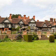
Wightwick Manor
4.8 km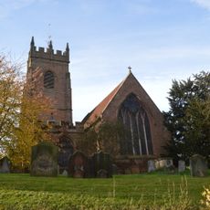
All Saints Church, Claverley
5.1 km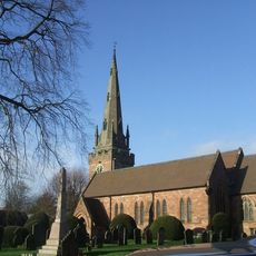
Church of St Benedict Biscop
3.6 km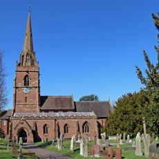
Church of St Chad
5.2 km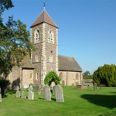
Church of the Holy Cross
5.2 km
Church of All Saints
958 m
Church of England School
5.1 km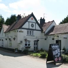
The Plough Inn
968 m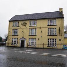
The Dudley Arms
5 km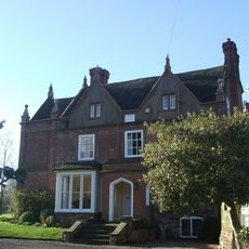
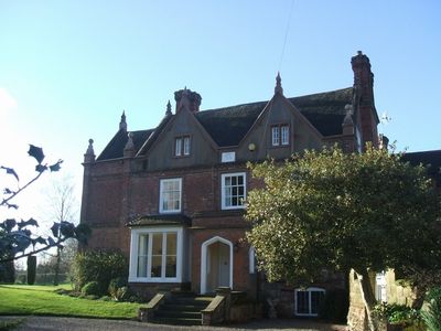
Trysull Manor House And Attached Coach House And Stable Block
693 m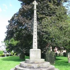
Trysull and Seisdon War Memorial
937 m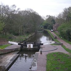
Botterham bridge and locks with adjacent circular weir
3.5 km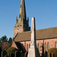
Wombourne War Memorial
3.6 km
Claverley War Memorial
6 km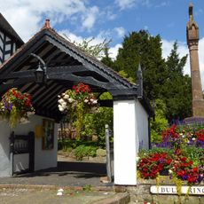
Lychgate
5.1 km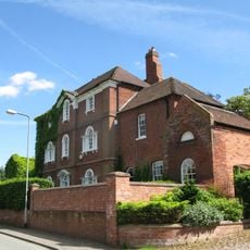
The Red House
814 m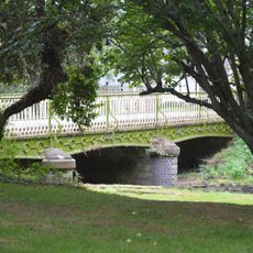
Bridge Over Smestow Brook
932 m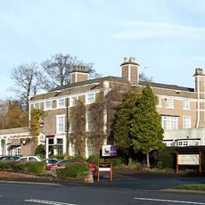
Himley House Hotel
5.1 km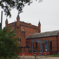
The Bratch Water Pumping Station
2.7 km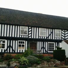
The Vicarage
5.1 km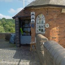
Staffordshire And Worcestershire Canal Bratch Locks, Bridge Number 47 (Bratch Bridge) Staffordshire And Worcestershire Canal Upper Bratch Bridge And Associated Toll House
2.6 km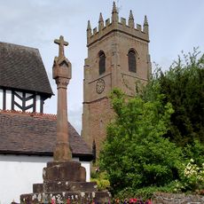
Churchyard cross
5.1 km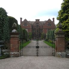
Ludstone Hall
4.2 km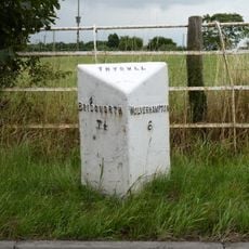
Milepost, E of Fox Road jct, opp public house car Park
2.4 km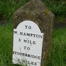
Milestone, Stourbridge Road, Lloyd Hill
4.2 km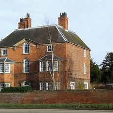
The Old Rectory
5.2 km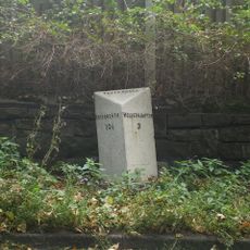
Milepost, Bridgnorth Road, Wightwick
4.4 km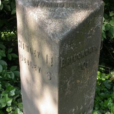
Milepost, SE of Smestow Bridge
2.6 kmAvis
Vous avez visité ce lieu ? Touchez les étoiles pour le noter et partager votre expérience ou vos photos avec la communauté ! Essayez maintenant ! Vous pouvez annuler à tout moment.
Trouvez des trésors cachés à chaque coin de rue !
Des petits cafés pittoresques aux points de vue planqués, fuyez la foule et dénichez les lieux qui vous ressemblent vraiment. Notre app vous facilite la vie : recherche vocale, filtres malins, itinéraires optimisés et bons plans partagés par des voyageurs du monde entier. Téléchargez vite pour vivre l'aventure en version mobile !

Une approche inédite de la découverte touristique❞
— Le Figaro
Tous les lieux qui valent la peine d'être explorés❞
— France Info
Une excursion sur mesure en quelques clics❞
— 20 Minutes