
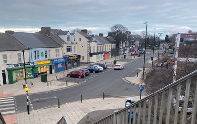
Forest Hall, village britannique
Emplacement : North East England
Coordonnées GPS : 55.02090,-1.56890
Dernière mise à jour : 25 mai 2025 à 06:47
Jesmond Dene
3.7 km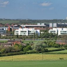
Tyneview Park
1.4 km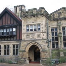
Jesmond Dene House
3.3 km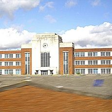
Wills Building
2.8 km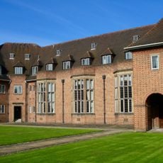
Henderson Hall
2.5 km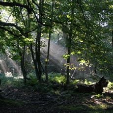
Gosforth Park Nature Reserve
2.4 km
Gosforth House
3.2 km
Rising Sun Country Park
2.8 km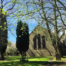
St Bartholomew's Church, Long Benton
549 m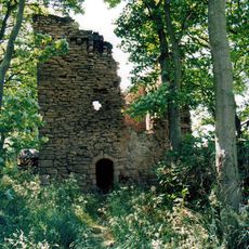
Burradon Tower
3.4 km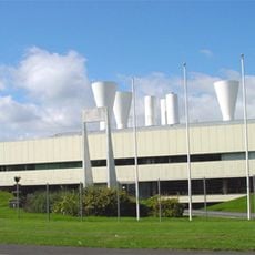
British Gas Research Station Including Attached Restaurant Block To South
1.9 km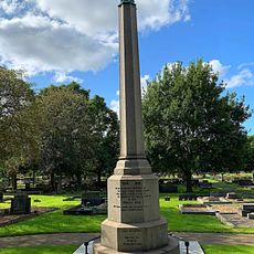
1914-18 War Memorial In St Bartholomew's Churchyard, Longbenton
592 m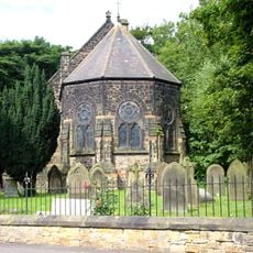
Church of St John the Evangelist
1.3 km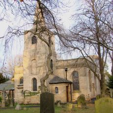
Church of St Nicholas
3 km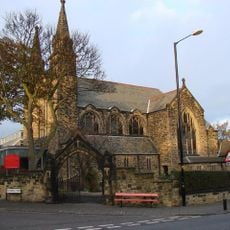
Roman Catholic Church of St Charles, Attached Presbytery and Boundary Wall to South and South West
3.5 km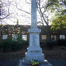
Backworth War Memorial
3.5 km
North Gosforth Chapel
3.1 km
Border Minstrel
3.3 km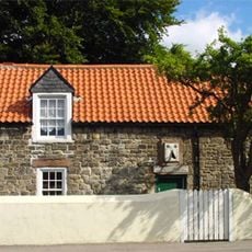
Dial Cottage
768 m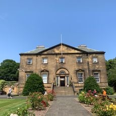
Backworth Miners Welfare Hall
3.4 km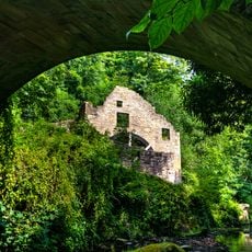
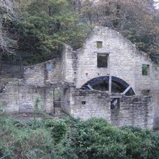
Jesmond Dene Mill
3.1 km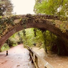
Footbridge North East Of Banqueting Hall
3.5 km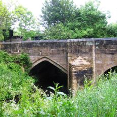
Salters' Bridge
2.5 km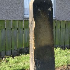
Main Dike Stone
3 km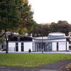
High Heaton Library
3 km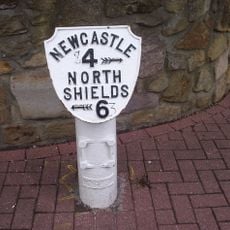
Milepost At Junction Of Front Street And Manorfields
1.1 km
Caretaker's Flat, Brandling House
3.2 km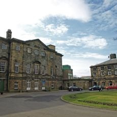
Gosforth House, Now Brandling House, Part Of High Gosforth Park Club
3.2 kmVous avez visité ce lieu ? Touchez les étoiles pour le noter et partager votre expérience ou vos photos avec la communauté ! Essayez maintenant ! Vous pouvez annuler à tout moment.
Trouvez des trésors cachés à chaque coin de rue !
Des petits cafés pittoresques aux points de vue planqués, fuyez la foule et dénichez les lieux qui vous ressemblent vraiment. Notre app vous facilite la vie : recherche vocale, filtres malins, itinéraires optimisés et bons plans partagés par des voyageurs du monde entier. Téléchargez vite pour vivre l'aventure en version mobile !

Une approche inédite de la découverte touristique❞
— Le Figaro
Tous les lieux qui valent la peine d'être explorés❞
— France Info
Une excursion sur mesure en quelques clics❞
— 20 Minutes