
Gilmorton, localité britannique du comté anglais de Leicestershire
Emplacement : Harborough
Partage une frontière avec : Peatling Parva
Site web : http://gilmorton.leicestershireparishcouncils.org
Coordonnées GPS : 52.48610,-1.15833
Dernière mise à jour : 6 mars 2025 à 03:46
Kilworth House
5.4 km
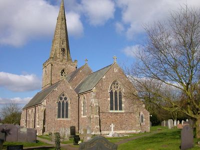
Church of St Mary
4.6 km
Town Hall
4.4 km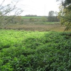
Misterton Marshes
3.2 km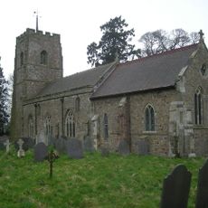
St Mary's Church, Ashby Magna
2.7 km
St Mary's Church, Bruntingthorpe
3.4 km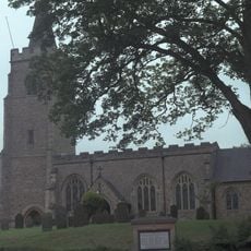
St Mary's Church, Bitteswell
4.1 km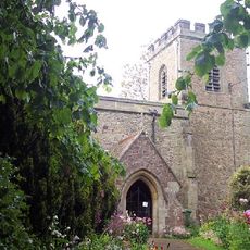
St Peter's Church, Ashby Parva
4.7 km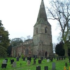
Church of St Leonard
4.2 km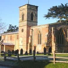
Church of St Mary
6.4 km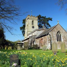
Church of St Andrew
2.4 km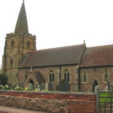
Church of St Peter
5.1 km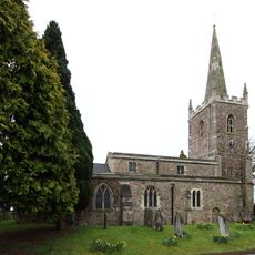
Church of All Saints
3.6 km
Church of All Saints
239 m
Wycliffe Memorial
4.4 km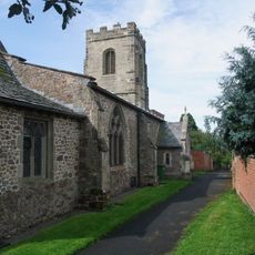
Church of St Mary
4.6 km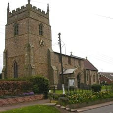
Church of All Saints
1.9 km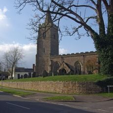
Church of St Mary
4.1 km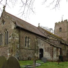
Church of St Mary
2.7 km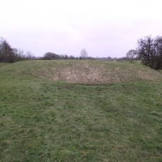
Motte, moat and fishponds west of All Saints Church
320 m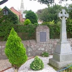
War Memorial
3.6 km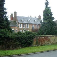
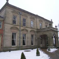
Cotesbach Hall
6.5 km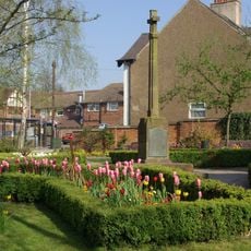
Lutterworth War Memorial Cross, Walls and Shelter
4.5 km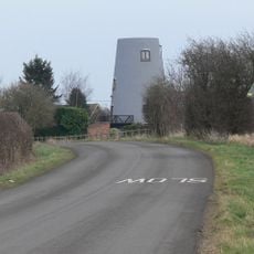
Gilmorton Mill
657 m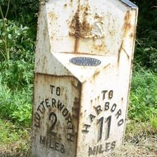
Milepost, Opposite Junction Of Lane To Gilmorton
4.1 km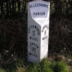
Milepost, opp. Milestone Cottage & Normanton House Farm, E of Ullesthorpe
6 km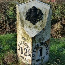
Milepost, Riddlesdon Farm, Leicester Road
3.1 km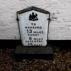
Milepost, wall of "The Springs"
4.6 kmVous avez visité ce lieu ? Touchez les étoiles pour le noter et partager votre expérience ou vos photos avec la communauté ! Essayez maintenant ! Vous pouvez annuler à tout moment.
Trouvez des trésors cachés à chaque coin de rue !
Des petits cafés pittoresques aux points de vue planqués, fuyez la foule et dénichez les lieux qui vous ressemblent vraiment. Notre app vous facilite la vie : recherche vocale, filtres malins, itinéraires optimisés et bons plans partagés par des voyageurs du monde entier. Téléchargez vite pour vivre l'aventure en version mobile !

Une approche inédite de la découverte touristique❞
— Le Figaro
Tous les lieux qui valent la peine d'être explorés❞
— France Info
Une excursion sur mesure en quelques clics❞
— 20 Minutes