
Everton, village britannique (Hampshire)
Emplacement : Hordle
Coordonnées GPS : 50.74580,-1.59317
Dernière mise à jour : 26 avril 2025 à 00:24
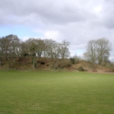
Anneaux de Buckland
3.8 km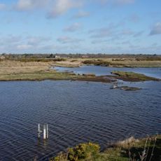
Keyhaven, Pennington, Oxey and Normandy Marshes
3.3 km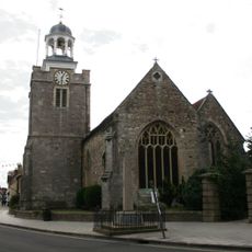
Church of St. Thomas the Apostle
3.6 km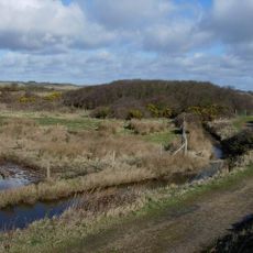
Lymington and Keyhaven Marshes
3.3 km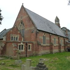
Church of St Mark
2.3 km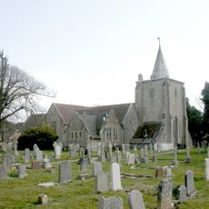
Church of All Saints
2 km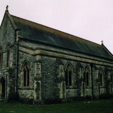
Church of All Saints
3.7 km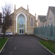
United Reform Church
3.8 km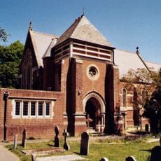
Church of All Saints
1.7 km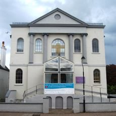
Baptist Church
3.9 km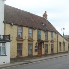
Crown Inn
2.3 km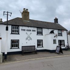
The Gun Public House
3.2 km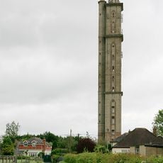
Peterson's Tower
2.8 km
Lymington Community Centre
3.9 km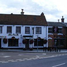
The Red Lion Public House
2.3 km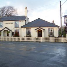
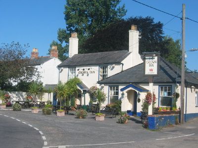
The Crown Public House
370 m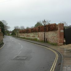
Garden wall to Elm Grove House
3.7 km
East Saltgrass Old Saltgrass Saltgrass
3.3 km
Milford-on-Sea Library
2.2 km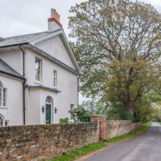
Wood End
3.3 km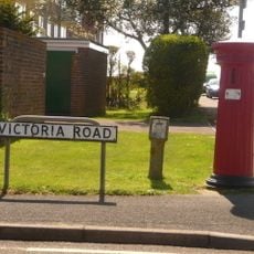
Pillar Box (At Junction Of Victoria Road With Cornwallis Road)
2.4 km
Lloyds Bank
3.9 km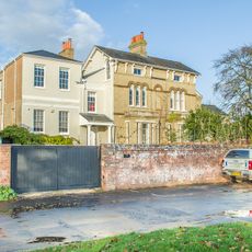
Hill House
3.2 km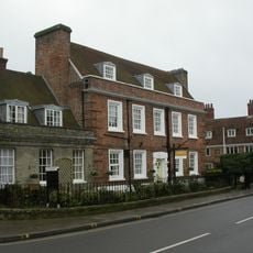
Monmouth House (including The Former Office Of The Clerk To The Justices)
3.6 km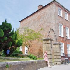
Ivy House No 63 And Area Railings Twynham House
3.7 km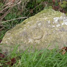
Milestone, by 'Alwyne' Farmers Walk, Everton Village. On the old Christchurch Road, main road is by-pass
256 m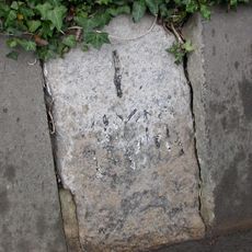
Milestone, Pennington
2.7 km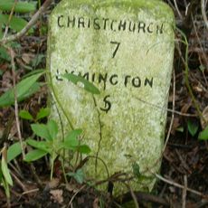
Milestone, Lymington Road, Hooper's Hill
2.4 kmAvis
Vous avez visité ce lieu ? Touchez les étoiles pour le noter et partager votre expérience ou vos photos avec la communauté ! Essayez maintenant ! Vous pouvez annuler à tout moment.
Trouvez des trésors cachés à chaque coin de rue !
Des petits cafés pittoresques aux points de vue planqués, fuyez la foule et dénichez les lieux qui vous ressemblent vraiment. Notre app vous facilite la vie : recherche vocale, filtres malins, itinéraires optimisés et bons plans partagés par des voyageurs du monde entier. Téléchargez vite pour vivre l'aventure en version mobile !

Une approche inédite de la découverte touristique❞
— Le Figaro
Tous les lieux qui valent la peine d'être explorés❞
— France Info
Une excursion sur mesure en quelques clics❞
— 20 Minutes