
Farnsfield, village in the United Kingdom
Emplacement : Newark and Sherwood
Coordonnées GPS : 53.10271,-1.03711
Dernière mise à jour : 10 mars 2025 à 03:57
Church of St. Mary of the Purification, Blidworth
6.1 km
All Saints' Church
3.8 km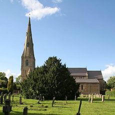
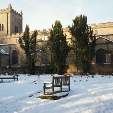
Holy Trinity Church, Southwell
6 km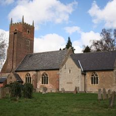
St Swithun's Church, Kirklington
3.5 km
St Michael the Archangel's Church, Halam
3.6 km
St Peter & St Paul's Church, Oxton
5.4 km
St Michael's Church, Farnsfield
96 m
St Giles' Church, Edingley
2.1 km
Church of St Margaret
3.8 km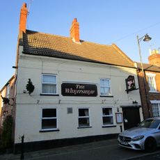
Wheatsheaf Inn
6.2 km
Saracen's Head Hotel
6.1 km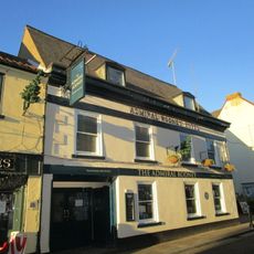
Admiral Rodney Hotel
6.1 km
Farnsfield War Memorial
74 m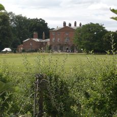
Norwood Park And The West Wing
4.6 km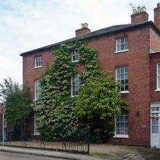
Regency House
6.1 km
Milestone To Left Of Carriage Arch At Saracen's Head Inn
6.1 km
63, King Street
6.2 km
2, Westgate
6.1 km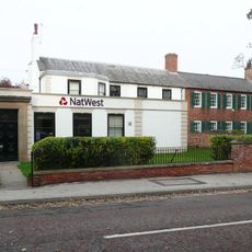
National Westminster Bank
6.2 km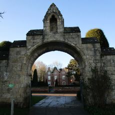
Gateway And Flanking Walls At Minster Churchyard
6.1 km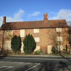
Ivy Farmhouse And Cottage
3.4 km
Sacrista Prebend
6.1 km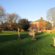
Old Grammar School
6.2 km
Rampton Prebend
6.1 km
Barn And Adjoining Stable Opposite
5.1 km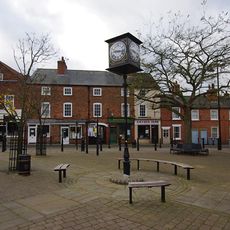
Southwell Sports And Leisure
6.2 km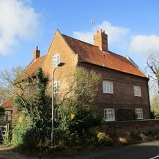
Highfield Farmhouse
3.2 km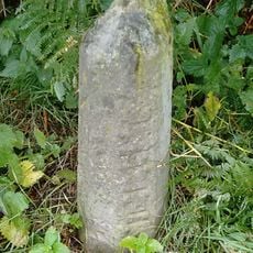
Milestone, by Cottage Farm, W of A614 roundabout
2.5 kmVous avez visité ce lieu ? Touchez les étoiles pour le noter et partager votre expérience ou vos photos avec la communauté ! Essayez maintenant ! Vous pouvez annuler à tout moment.
Trouvez des trésors cachés à chaque coin de rue !
Des petits cafés pittoresques aux points de vue planqués, fuyez la foule et dénichez les lieux qui vous ressemblent vraiment. Notre app vous facilite la vie : recherche vocale, filtres malins, itinéraires optimisés et bons plans partagés par des voyageurs du monde entier. Téléchargez vite pour vivre l'aventure en version mobile !

Une approche inédite de la découverte touristique❞
— Le Figaro
Tous les lieux qui valent la peine d'être explorés❞
— France Info
Une excursion sur mesure en quelques clics❞
— 20 Minutes