
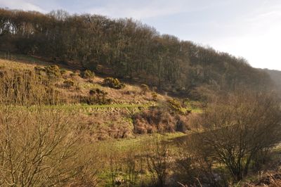
Clatworthy Camp, hillfort in Somerset
Emplacement : Clatworthy
Coordonnées GPS : 51.07500,-3.36301
Dernière mise à jour : 11 mars 2025 à 02:05
Combe Sydenham
6 km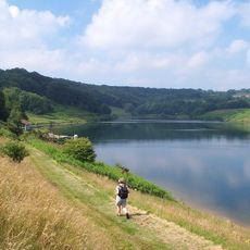
Clatworthy Reservoir
482 m
King's Castle
6 km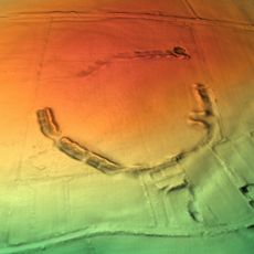
Elworthy Barrows
3.3 km
Abbotsfield
4.5 km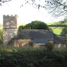
Church of St Martin, Elworthy
5 km
Church of St Peter, Huish Champflower
2.3 km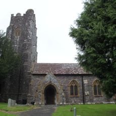
Church of All Saints
4.4 km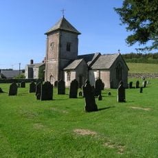
Church of St Peter
6 km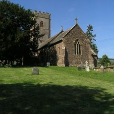
Church of St Mary
4 km
Church of St Andrew
5.3 km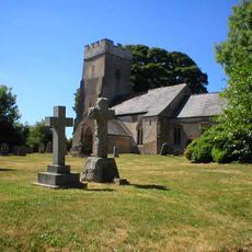
Church of St Mary Magdalene
873 m
Church of St Giles
5.2 km
Church of St John the Baptist
5.5 km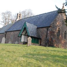
Church of St James
5.7 km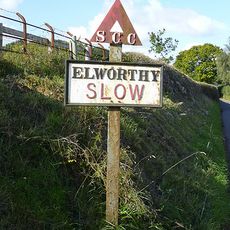
Sign Post At Ngr St 0851 3480
5.1 km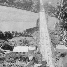
The Incline, lying between Brendon Hill and Comberow, and the remains of Combe Row Station
3.9 km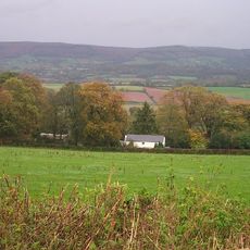
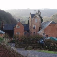
Hartrow Manor
5.9 km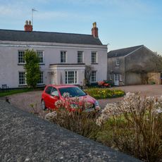
Hartswell House
5.5 km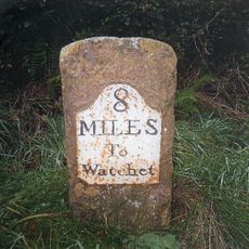
Milestone At Ngr St 0144 3334
3.6 km
Bowl barrow 700m north east of Burrow Farm
4.5 km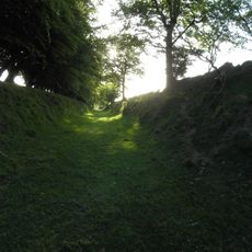
Burrow Farm iron mine and section of mineral railway trackbed, 350m north east of Burrow Farm
4.7 km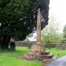
Churchyard Cross, Church Of St Andrew
5.3 km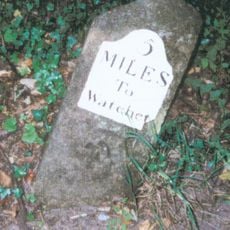
Milestone At Ngr St 0460 3613
4.6 km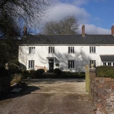
Kingston Farmhouse
5.8 km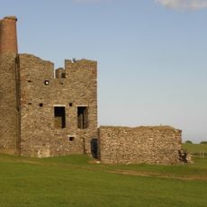
Burrow Farm Engine House And Remains Of Drying Shed About 10 Metres To West
4.8 km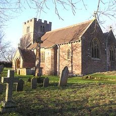
Churchyard Cross 10 Metres South East Of Church Of St John The Baptist
5.5 km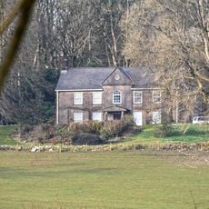
Middleton Court
3.3 kmVous avez visité ce lieu ? Touchez les étoiles pour le noter et partager votre expérience ou vos photos avec la communauté ! Essayez maintenant ! Vous pouvez annuler à tout moment.
Trouvez des trésors cachés à chaque coin de rue !
Des petits cafés pittoresques aux points de vue planqués, fuyez la foule et dénichez les lieux qui vous ressemblent vraiment. Notre app vous facilite la vie : recherche vocale, filtres malins, itinéraires optimisés et bons plans partagés par des voyageurs du monde entier. Téléchargez vite pour vivre l'aventure en version mobile !

Une approche inédite de la découverte touristique❞
— Le Figaro
Tous les lieux qui valent la peine d'être explorés❞
— France Info
Une excursion sur mesure en quelques clics❞
— 20 Minutes