
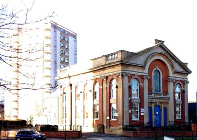
Albion Congregational Church, church building in City of Nottingham, Nottinghamshire, UK
Emplacement : City of Nottingham
Création : 1856
Architectes : Thomas Oliver
Coordonnées GPS : 52.95229,-1.13500
Dernière mise à jour : 7 mars 2025 à 12:10
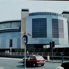
National Ice Centre
303 m
Green's Mill, Sneinton
391 m
Plumptre Hospital
361 m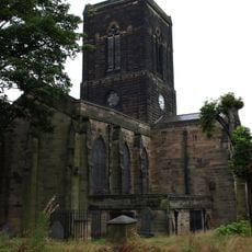
St. Stephen's Church, Sneinton
269 m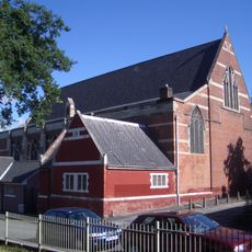
St Alban's Church, Sneinton
151 m
Green's Windmill
377 m
St Mary's School
443 m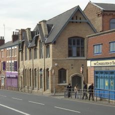
St. Luke's Church, Nottingham
279 m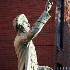
William Booth Memorial Complex
222 m
War Memorial 25 Metres North West of Church of St Stephen
237 m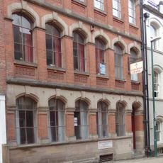
High Pavement Unitarian Chapel
467 m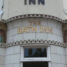
Bath Inn Public House
388 m
Great Northern Warehouse At London Road Railway Station
451 m
Warehouses On The West And North Sides Of Trivet Square
463 m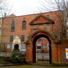
Gateway 20 Metres East Of St Mary's School
419 m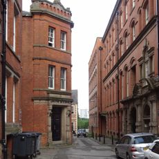
Mills Building
474 m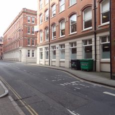
39, Stoney Street
504 m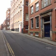
53, Stoney Street
482 m
49 And 51, Stoney Street
498 m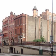
10, Short Hill
475 m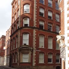
47, Stoney Street
501 m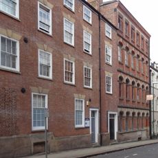
1, Plumptre Street
480 m
2, Short Hill
447 m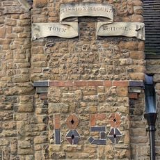
Town Mission Ragged School And Attached Boundary Wall And Railings
350 m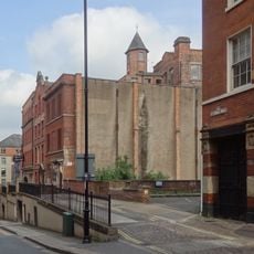
Retaining Wall, Steps And Railings Bordering Hollow Stone
476 m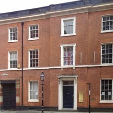
56, High Pavement
508 m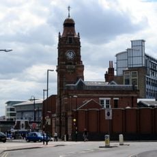
Victoria Leisure Centre, Nottingham
401 m
23 And 23A, Barker Gate
419 mVous avez visité ce lieu ? Touchez les étoiles pour le noter et partager votre expérience ou vos photos avec la communauté ! Essayez maintenant ! Vous pouvez annuler à tout moment.
Trouvez des trésors cachés à chaque coin de rue !
Des petits cafés pittoresques aux points de vue planqués, fuyez la foule et dénichez les lieux qui vous ressemblent vraiment. Notre app vous facilite la vie : recherche vocale, filtres malins, itinéraires optimisés et bons plans partagés par des voyageurs du monde entier. Téléchargez vite pour vivre l'aventure en version mobile !

Une approche inédite de la découverte touristique❞
— Le Figaro
Tous les lieux qui valent la peine d'être explorés❞
— France Info
Une excursion sur mesure en quelques clics❞
— 20 Minutes