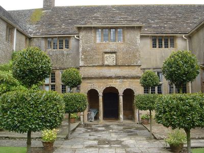
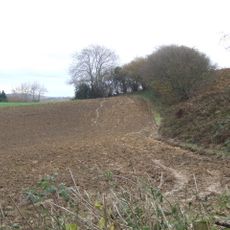
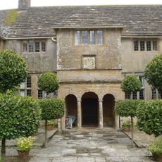
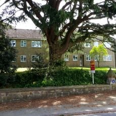
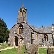
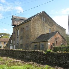
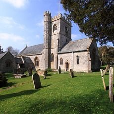
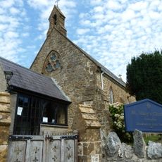
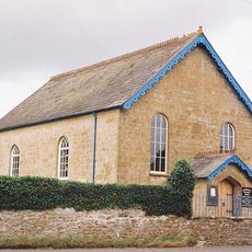
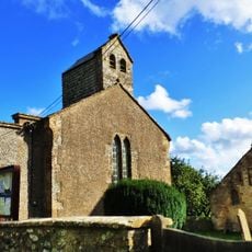
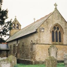
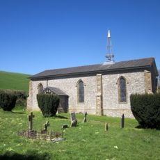
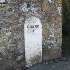
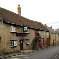
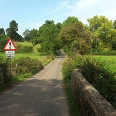
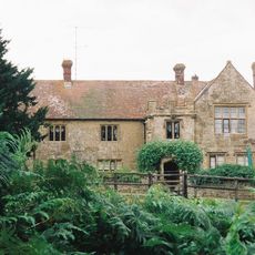
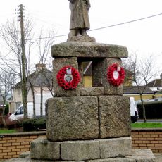
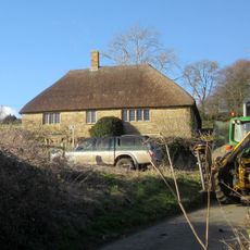
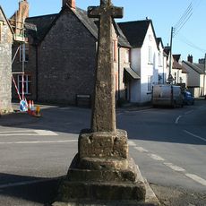
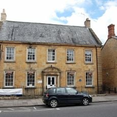
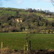
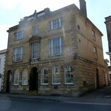
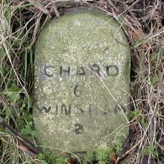
Wayford, village and civil parish in Somerset, United Kingdom
Emplacement : Somerset
Coordonnées GPS : 50.85490,-2.84660
Dernière mise à jour : 21 mars 2025 à 16:22
Crewkerne Castle
4.4 km
Wayford Manor House
70 m
Christ Church, Crewkerne
4.8 km
Church of St Thomas
3.8 km
Clapton Mill
874 m
Church of St Stephen, Winsham
3 km
St Mary's Church, Drimpton
2.1 km
Netherhay Methodist Chapel
1.4 km
Church of St Michael
158 m
Church of St John
2.6 km
Holy Trinity
3.5 km
Milestone In East Wall Of Churchyard, About 400 Metres South Of Lych Gate, Church Of St Stephen
3 km
Royal Oak Public House
4.6 km
Forde Bridge
4.4 km
Childhay Manor Farmhouse
2.5 km
Crewkerne War Memorial
4.5 km
Higher Farmhouse
2.4 km
Cricket House
3.9 km
Boundary Stone Set Into South-East Corner Of The Boundary Wall To Mill House
862 m
Village Cross, About 5 Metres South East Of The George
3.1 km
17 Market Street and attached railings
4.8 km
Milestone On North East Side Of Junction With Cudworth Lane
4.4 km
Milestone At Ngr St 3606 0697
4.5 km
Seaborough Court
2.3 km
National Westminster Bank
4.8 km
Milestone, Horn Ash Crossroads; 3m W of crossroads
2.1 km
Milestone, near Folly Farm
3.5 km
Milestone, E of Maudlin Cross, 60m E of house 'Green View'.
2.6 kmAvis
Vous avez visité ce lieu ? Touchez les étoiles pour le noter et partager votre expérience ou vos photos avec la communauté ! Essayez maintenant ! Vous pouvez annuler à tout moment.
Trouvez des trésors cachés à chaque coin de rue !
Des petits cafés pittoresques aux points de vue planqués, fuyez la foule et dénichez les lieux qui vous ressemblent vraiment. Notre app vous facilite la vie : recherche vocale, filtres malins, itinéraires optimisés et bons plans partagés par des voyageurs du monde entier. Téléchargez vite pour vivre l'aventure en version mobile !
Une approche inédite de la découverte touristique❞
— Le Figaro
Tous les lieux qui valent la peine d'être explorés❞
— France Info
Une excursion sur mesure en quelques clics❞
— 20 Minutes