
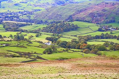
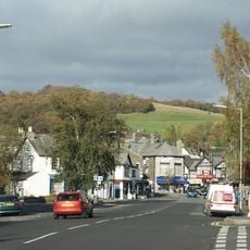
Over Staveley, civil parish in South Lakeland, Cumbria, England
Emplacement : South Lakeland
Coordonnées GPS : 54.37900,-2.81600
Dernière mise à jour : 3 mars 2025 à 19:06
Orrest Head
5.8 km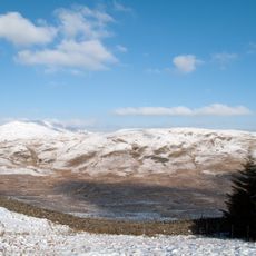
Sallows
6.5 km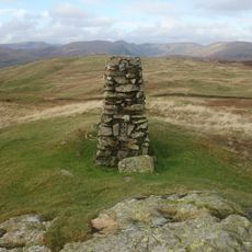
Potter Fell
3.2 km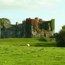
Burneside Hall
4.7 km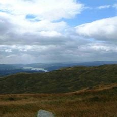
Sour Howes
6.5 km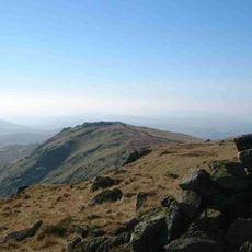
Shipman Knotts
7.7 km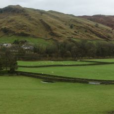
Reston Scar
1.1 km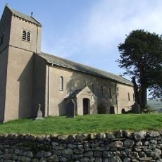
Church of St Cuthbert
5.8 km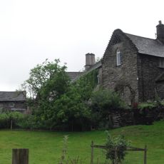
Hollin Hall
2.5 km
Church of St James
201 m
Hugill Fell
1.3 km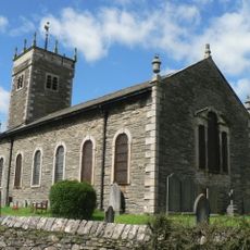
Church of St Anne
2.5 km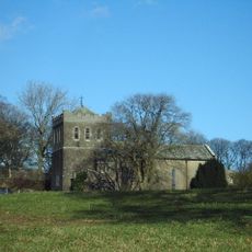
Church of St Thomas
6.5 km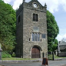
Tower of ruined chapel of St Margaret
304 m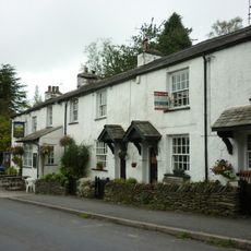
Sun Inn
3.4 km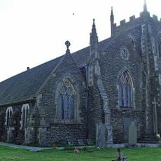
St Oswald's Church
4.3 km
Elba Monument
4.2 km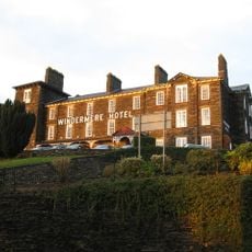
Windermere Hotel (Excluding Modern Additions)
5.7 km
Milestone On Loop Road 50 Yards South Of Junction Of Hollins Lane And Windermere
4.2 km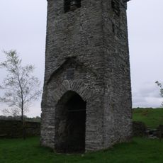
Tower of ruined church of St Catherine
4.4 km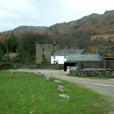
Kentmere Hall And Attached Barn
6.1 km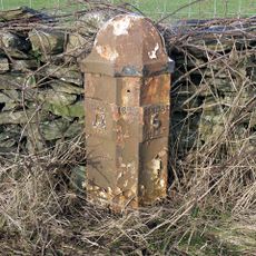
Milepost To West Of North Gateside
5.8 km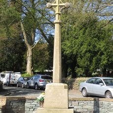
Staveley War Memorial, Cumbria
149 m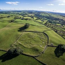
Romano-British settlement, 450m east of High Borrans
4.2 km
Milestone 10 Metres East Of Junction Of Crook Road And Ratherheath Lane
3.3 km
Gateway To South Of Tolson Hall And Attached Walls
4.2 km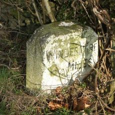
Milestone In Layby To Left Of A591 200 Metres North Of Ratherheath Lane
2.7 km
Milestone, Plumgarth roundabout; opp. 'Cunswick End'
4.3 kmAvis
Vous avez visité ce lieu ? Touchez les étoiles pour le noter et partager votre expérience ou vos photos avec la communauté ! Essayez maintenant ! Vous pouvez annuler à tout moment.
Trouvez des trésors cachés à chaque coin de rue !
Des petits cafés pittoresques aux points de vue planqués, fuyez la foule et dénichez les lieux qui vous ressemblent vraiment. Notre app vous facilite la vie : recherche vocale, filtres malins, itinéraires optimisés et bons plans partagés par des voyageurs du monde entier. Téléchargez vite pour vivre l'aventure en version mobile !

Une approche inédite de la découverte touristique❞
— Le Figaro
Tous les lieux qui valent la peine d'être explorés❞
— France Info
Une excursion sur mesure en quelques clics❞
— 20 Minutes