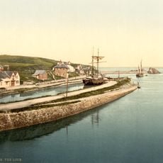
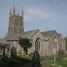
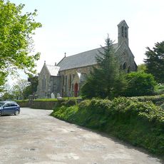
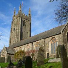
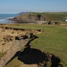
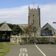
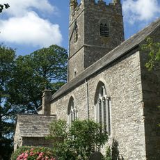
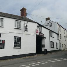
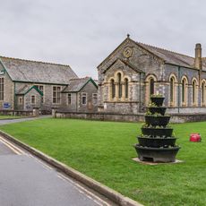
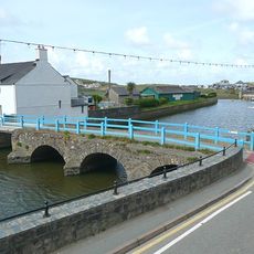
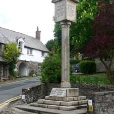
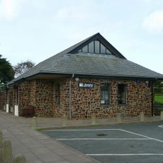
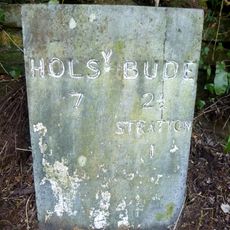
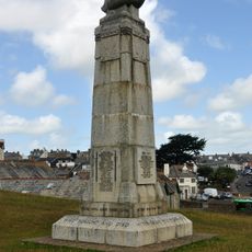
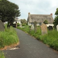
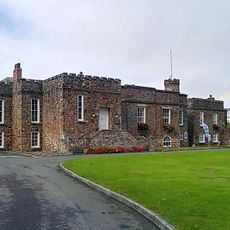
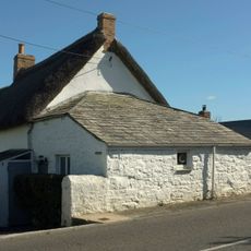
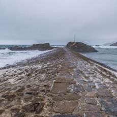
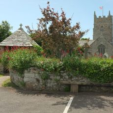
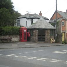
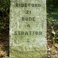
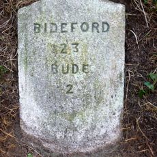
Bude-Stratton, civil parish in Cornwall, United Kingdom
Emplacement : Cornwall
Partage une frontière avec : Kilkhampton, Marhamchurch, Launcells
Site web : https://bude-stratton.gov.uk
Coordonnées GPS : 50.83209,-4.53072
Dernière mise à jour : 6 mars 2025 à 08:15
Bude Canal
1.3 km
The Storm Tower
1.9 km
St Olaf's Church, Bude
1.1 km
St Michael and All Angels Church, Bude
1.5 km
St Andrew's Church, Bude
1.3 km
Duckpool to Furzey Cove
3.3 km
Parish Church of St Marwenne
3 km
Church of St Swithin
2.7 km
Flexbury Park Methodist Church
836 m
The Tree Inn
1.2 km
Central Methodist Chapel
1.1 km
Nanny Moore's Bridge
1.1 km
Stratton War Memorial
1.2 km
Bude Library
1.3 km
Milestone Opposite Brooks Garden Centre (Ngr Ss2398305435)
2.4 km
Shalder Hill War Memorial
1.1 km
Rose Cottage
3 km
The Castle And Walls To The North West And South East
1.3 km
Milepost About 100 Metres North Of Rodds Bridge
1.9 km
Milestone East Of Thurlibeer House
3.9 km
The Thatch
1.9 km
The Breakwater
1.8 km
Lych Gate to Churchyard of Church of St Marwenne
3 km
Woodknowle
4.1 km
K6 Telephone Kiosk, Poughill
1.1 km
Milestone, Barnacott, lay-by (the old road)
3.8 km
Milestone, Bush, cutting on old road over Hunthill
2.3 km
Milestone, on line of old main road, NW of Townsend
1.2 kmVous avez visité ce lieu ? Touchez les étoiles pour le noter et partager votre expérience ou vos photos avec la communauté ! Essayez maintenant ! Vous pouvez annuler à tout moment.
Trouvez des trésors cachés à chaque coin de rue !
Des petits cafés pittoresques aux points de vue planqués, fuyez la foule et dénichez les lieux qui vous ressemblent vraiment. Notre app vous facilite la vie : recherche vocale, filtres malins, itinéraires optimisés et bons plans partagés par des voyageurs du monde entier. Téléchargez vite pour vivre l'aventure en version mobile !
Une approche inédite de la découverte touristique❞
— Le Figaro
Tous les lieux qui valent la peine d'être explorés❞
— France Info
Une excursion sur mesure en quelques clics❞
— 20 Minutes