
Croughton, village britannique
Emplacement : West Northamptonshire
Coordonnées GPS : 51.99729,-1.20906
Dernière mise à jour : 12 mars 2025 à 16:14
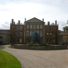
Aynhoe Park
3.1 km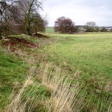
Rainsborough Camp
2.2 km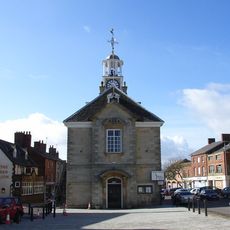
Brackley Town Hall
5.2 km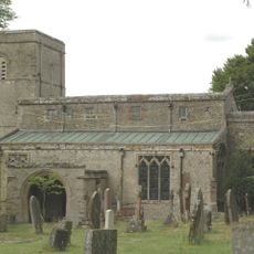
Church of the Annunciation to the Blessed Virgin Mary
2.7 km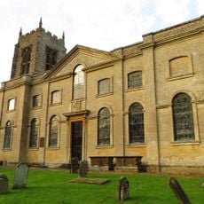
Church of St Michael, Aynho
3 km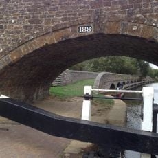
Anyho Weir Bridge Number 188, At Sp 494337 Oxford Canal
5 km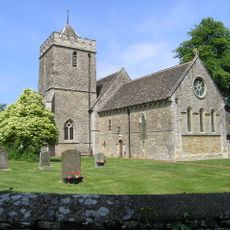
Church of St Peter, Stoke Lyne
5.6 km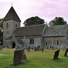
Church of St Olave
4.6 km
Church of St George
4.3 km
Church of St Mary
5 km
Church of Holy Trinity
3.7 km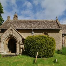
Church of St Mary
5.1 km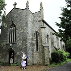
Church of Holy Trinity (Roman Catholic)
5.9 km
Church of All Saints
189 m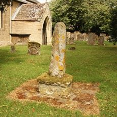
Cross Approximately 7 Metres South West Of Church Of All Saints
205 m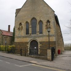
Magdalen College Chapel Of Saints John And James
5.5 km
Astrop House
4.8 km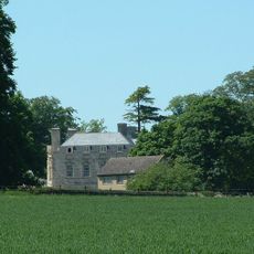
Evenley Hall
4.8 km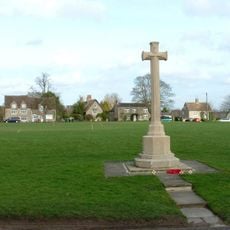
Evenley War Memorial
4.5 km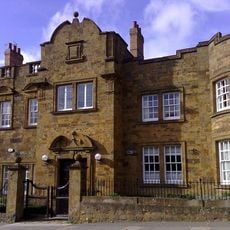
Brackley Lodge (including Gate Piers)
5.4 km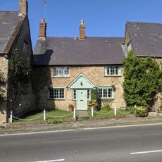
6, Round Town
3 km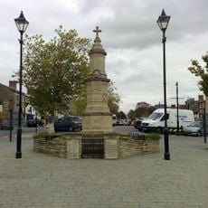
Brackley War Memorial
5.3 km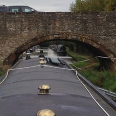
Bridge Number 190 At Aynho Wharf
4.8 km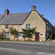
Barn End
3 km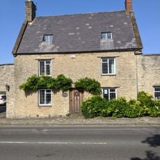
12, Round Town
3 km
Milestone, abandoned section of A43 now forming road to Cottisford, just S of point where break in hedge was once lane to Pimlico Farm
2.8 km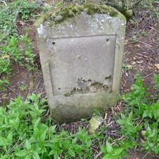
Milestone, 400m N of Barley Mow roundabout
3.3 km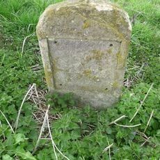
Milestone, N of Evenley roundabout
4 kmVous avez visité ce lieu ? Touchez les étoiles pour le noter et partager votre expérience ou vos photos avec la communauté ! Essayez maintenant ! Vous pouvez annuler à tout moment.
Trouvez des trésors cachés à chaque coin de rue !
Des petits cafés pittoresques aux points de vue planqués, fuyez la foule et dénichez les lieux qui vous ressemblent vraiment. Notre app vous facilite la vie : recherche vocale, filtres malins, itinéraires optimisés et bons plans partagés par des voyageurs du monde entier. Téléchargez vite pour vivre l'aventure en version mobile !

Une approche inédite de la découverte touristique❞
— Le Figaro
Tous les lieux qui valent la peine d'être explorés❞
— France Info
Une excursion sur mesure en quelques clics❞
— 20 Minutes