
Leebotwood, village britannique
Emplacement : Shropshire
Coordonnées GPS : 52.58300,-2.77500
Dernière mise à jour : 20 mars 2025 à 23:09
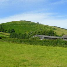
Caer Caradoc
3.4 km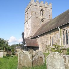
St James' Church, Cardington
4.6 km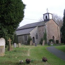
Church of St Mark
4.7 km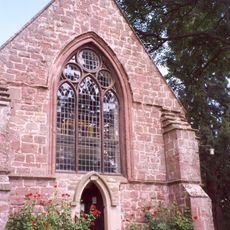
Church of St Mary
2.2 km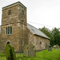
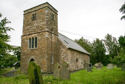
Church of St Mary
525 m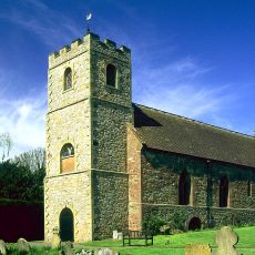
Church of St John the Baptist
5.9 km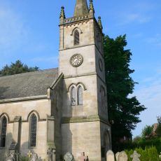
Church of St Edward
4.3 km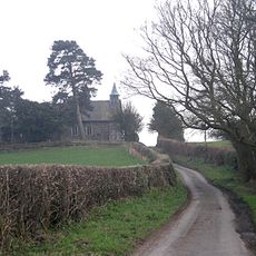
Church of St Michael and All Angels
2.7 km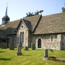
Church of St Michael and All Angels
2.4 km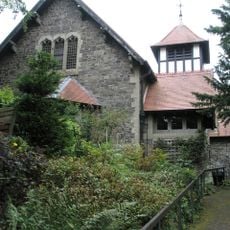
St Michael and All Angels
3.1 km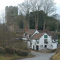
The Royal Oak Public House
4.7 km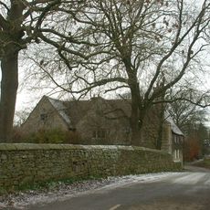
Chatwall Hall
4 km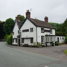
Yew Tree Inn Public House
3.6 km
Motte and bailey castle 150m south west of Wilderley Hall
5.2 km
The Bottle And Glass Public House
4.1 km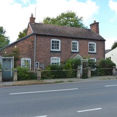
The Old Post Office, Attached Gate Piers And Railings
4.2 km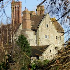
Frodesley Lodge
3.8 km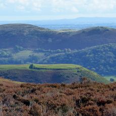
Bodbury Ring: a large univallate hillfort on the summit of Bodbury Hill.
4.9 km
Ivydene
1 km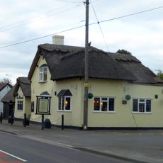
The Pound Inn And Attached Barn
121 m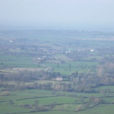
Longnor Hall
2.1 km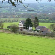
Penkridge Hall
1.7 km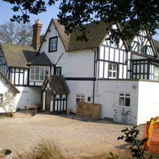
Woolstaston Hall And Garden Wall Adjoining To East
2.5 km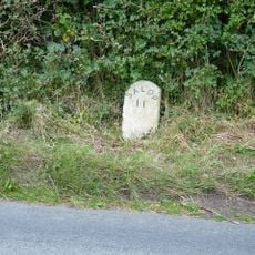
Milestone Approximately 90 Metres To North East Of Dudgeley House (That Part In All Stretton)
2.4 km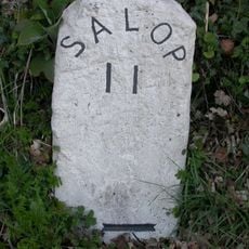
Milestone At Ngr So 4655 9642 On The B4370
2.4 km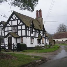
Bowdler's House
2.4 km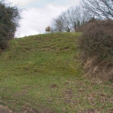
Stapleton Motte
5.8 km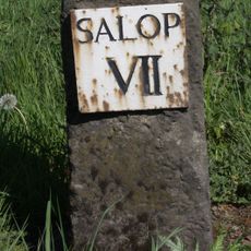
Milestone, S Dorrington Grove Lodge
3.4 kmAvis
Vous avez visité ce lieu ? Touchez les étoiles pour le noter et partager votre expérience ou vos photos avec la communauté ! Essayez maintenant ! Vous pouvez annuler à tout moment.
Trouvez des trésors cachés à chaque coin de rue !
Des petits cafés pittoresques aux points de vue planqués, fuyez la foule et dénichez les lieux qui vous ressemblent vraiment. Notre app vous facilite la vie : recherche vocale, filtres malins, itinéraires optimisés et bons plans partagés par des voyageurs du monde entier. Téléchargez vite pour vivre l'aventure en version mobile !

Une approche inédite de la découverte touristique❞
— Le Figaro
Tous les lieux qui valent la peine d'être explorés❞
— France Info
Une excursion sur mesure en quelques clics❞
— 20 Minutes