
Glyndyfrdwy, village au Royaume-Uni
Emplacement : Denbighshire
Coordonnées GPS : 52.97540,-3.26790
Dernière mise à jour : 2 avril 2025 à 11:41
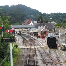
Llangollen Railway
5.1 km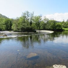
Horseshoe Falls
4.6 km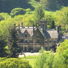
Llantysilio Hall
4.3 km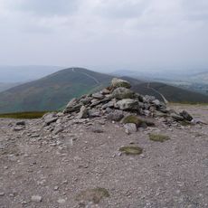
Moel y Gamelin
4.6 km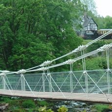
Chain Bridge
4.9 km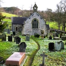
St Tysilio's Church
4.5 km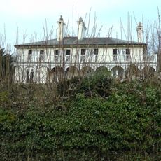
Bryntysilio Hall
4.8 km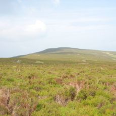
Moel Fferna
4.4 km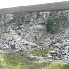
Deeside and Moelfferna quarries
3 km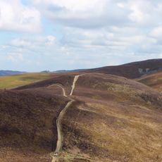
Moel y Gaer, Llantysilio
4 km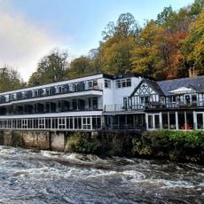
The Chainbridge
4.9 km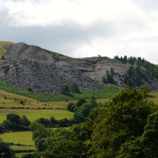
Penarth Quarry
4.2 km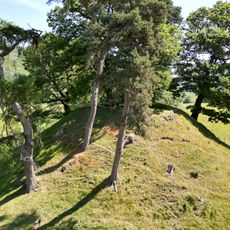
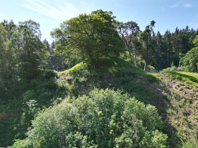
Owain Glyndŵr's Mount
2.5 km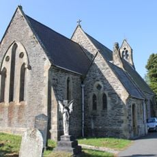
St Thomas's Church
216 m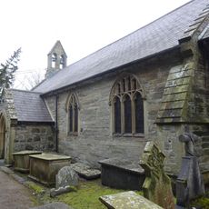
St Bridget's Church
3.9 km![Coed Hyrddyn [Velvet Hill]](https://img9.digsty.com/eNdL5h4ouVyyiAT2mi--YYTfxePNFv5mRT7dQnFPZNw/rs:fill:230:230:1/g:fp:0.5:0.5/czM6Ly9hcm91bmR1cy8xNC8xMjg4ODM0My1kYjAwYTIzYy5qcGc.jpg)
Coed Hyrddyn [Velvet Hill]
5.2 km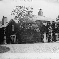
Rhagatt Hall
5.2 km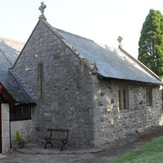
Church Of St Tysilio
4.6 km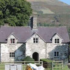
New Inn Farmhouse, Glyndyfrdwy
48 m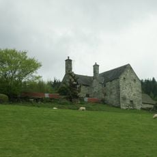
Carrog Uchaf, Glyndyfrdwy
2 km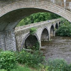
The King's Bridge
4.8 km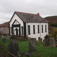
Glyndyfrdwy Baptist Church
499 m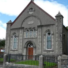
Carrog Welsh Baptist Church
3.8 km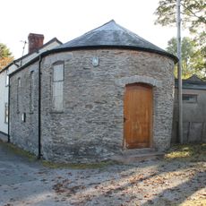
Former Village School
4.5 km
Beulah Independent Chapel
3.1 km
Glyndyfrdwy Methodist Chapel
148 m
Pont Carrog
3.6 km
Barn and Shippon at New Inn Farm, Glyndyfrdwy
87 mVous avez visité ce lieu ? Touchez les étoiles pour le noter et partager votre expérience ou vos photos avec la communauté ! Essayez maintenant ! Vous pouvez annuler à tout moment.
Trouvez des trésors cachés à chaque coin de rue !
Des petits cafés pittoresques aux points de vue planqués, fuyez la foule et dénichez les lieux qui vous ressemblent vraiment. Notre app vous facilite la vie : recherche vocale, filtres malins, itinéraires optimisés et bons plans partagés par des voyageurs du monde entier. Téléchargez vite pour vivre l'aventure en version mobile !

Une approche inédite de la découverte touristique❞
— Le Figaro
Tous les lieux qui valent la peine d'être explorés❞
— France Info
Une excursion sur mesure en quelques clics❞
— 20 Minutes