
Ightfield, village and civil parish in Shropshire, United Kingdom
Emplacement : Shropshire
Coordonnées GPS : 52.93330,-2.61667
Dernière mise à jour : 22 mars 2025 à 11:36
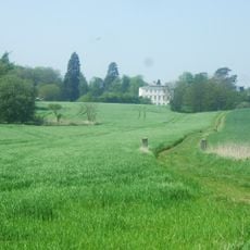
Styche Hall
6.1 km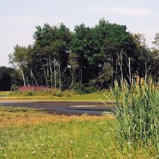
Brown Moss
3.1 km
St Peter's Church, Adderley
7.7 km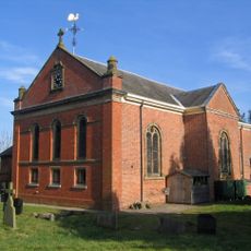
St Mary's and St Michael's Church, Burleydam
5.5 km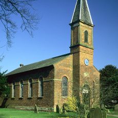
Tilstock Christ Church
4.4 km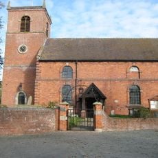
Church of Saint Margaret
5.3 km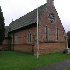
Church of Immanuel
4.8 km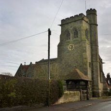
Church of the Holy Trinity
1.7 km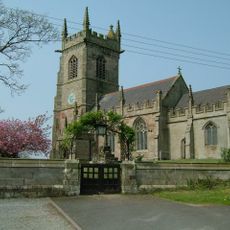
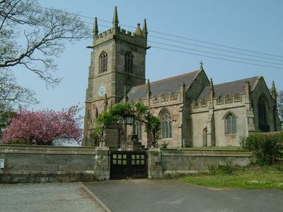
Church of Saint John the Baptist
1.3 km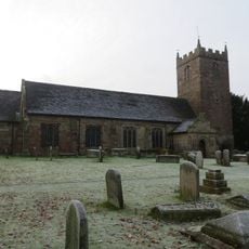
Church of St Chad
5 km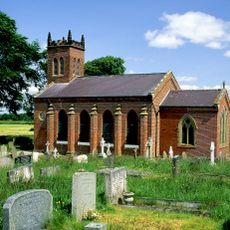
Christ Church
2.8 km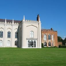
Combermere Abbey (house)
6.6 km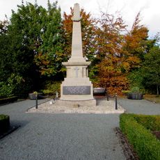
Whitchurch War Memorial
5.6 km
Milestone At Ngr Sj 5829 3402
3.5 km
Southern range of service buildings
6.6 km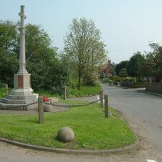
Ash Magna War Memorial
2.8 km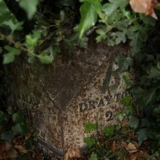
Milepost approximately 25 metres to south west of Fordhill Cottages
7.6 km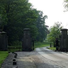
Gate piers and railings circa 5 yards to north east of Stone Lodge
6.1 km
Former Lock Up
5.2 km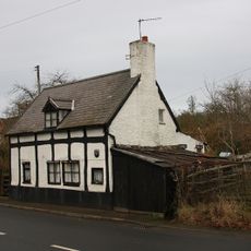
The Dell
5.4 km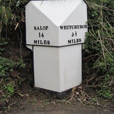
Milepost At Ngr Sj 5545 3298
5.5 km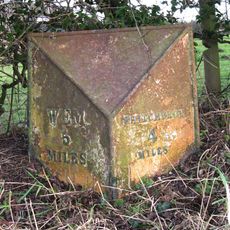
Milepost At Ngr Sj 5422 3584
4.7 km
Lower Lodge
5.8 km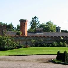
Northern range of service buildings
6.6 km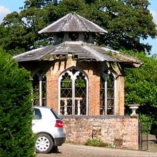
Game larder to the centre of the service court at Combermere Abbey
6.6 km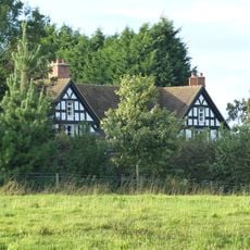
Butterley Heyes
7.6 km
Milestone At N.G.R. Sj 5982 3378
3.9 km
Milestone, S Bletchley
5.7 kmAvis
Vous avez visité ce lieu ? Touchez les étoiles pour le noter et partager votre expérience ou vos photos avec la communauté ! Essayez maintenant ! Vous pouvez annuler à tout moment.
Trouvez des trésors cachés à chaque coin de rue !
Des petits cafés pittoresques aux points de vue planqués, fuyez la foule et dénichez les lieux qui vous ressemblent vraiment. Notre app vous facilite la vie : recherche vocale, filtres malins, itinéraires optimisés et bons plans partagés par des voyageurs du monde entier. Téléchargez vite pour vivre l'aventure en version mobile !

Une approche inédite de la découverte touristique❞
— Le Figaro
Tous les lieux qui valent la peine d'être explorés❞
— France Info
Une excursion sur mesure en quelques clics❞
— 20 Minutes