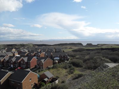
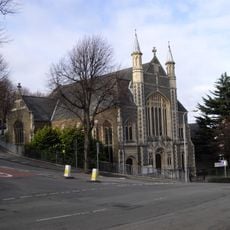
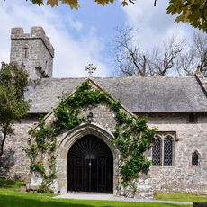
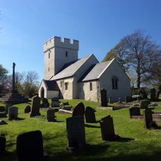
Rhoose, village au Royaume-Uni
Emplacement : Vale of Glamorgan
Coordonnées GPS : 51.39060,-3.35236
Dernière mise à jour : 14 mars 2025 à 14:20
Fonmon Castle
1.9 km
Barry Castle
4.1 km
St Cadoc's Church
3.7 km
The Blue Anchor Inn
2.5 km
Porthkerry Viaduct
2.4 km
Porthkerry Country Park
2.7 km
Gileston Manor
4.3 km
East Orchard Castle
3.4 km
Welsh Hawking Centre
4.1 km
The Bulwarks, Porthkerry
2.2 km
All Saints' Church
4.5 km
Aberthaw Terrace English Wesleyan Methodist Chapel
4.6 km
Church Of St Giles
4.2 km
St Mary's Church
2.3 km
Church Of St Curig
2.2 km
Kenson Bridge
2.3 km
St Athan, Flemingston and Eglwys Brewis War Memorial
4.3 km
Aberthaw Lime and Cement Works
2.2 km
Trewallter Fawr Farmhouse
4.6 km
St Athan Library
4.5 km
Cross in Churchyard of Church of St Giles
4.2 km
Cross in the Churchyard of the Church of St Curig
2.2 km
Bethel English Baptist Chapel
4.5 km
Saint Athan's Methodist Chapel
4.6 km
No 69, High Street (S Side) Barry
4.8 km
Watchtower, Cold Knap Way, The Knap
4.4 km
Telephone Call-box at road junction in centre of Gileston village
4.1 km
Llancarfan Wesleyan Methodist Chapel
3.8 kmVous avez visité ce lieu ? Touchez les étoiles pour le noter et partager votre expérience ou vos photos avec la communauté ! Essayez maintenant ! Vous pouvez annuler à tout moment.
Trouvez des trésors cachés à chaque coin de rue !
Des petits cafés pittoresques aux points de vue planqués, fuyez la foule et dénichez les lieux qui vous ressemblent vraiment. Notre app vous facilite la vie : recherche vocale, filtres malins, itinéraires optimisés et bons plans partagés par des voyageurs du monde entier. Téléchargez vite pour vivre l'aventure en version mobile !
Une approche inédite de la découverte touristique❞
— Le Figaro
Tous les lieux qui valent la peine d'être explorés❞
— France Info
Une excursion sur mesure en quelques clics❞
— 20 Minutes