
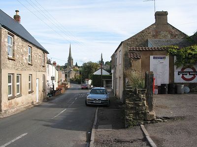
Ruardean, village britannique
Emplacement : Forest of Dean
Coordonnées GPS : 51.85420,-2.54962
Dernière mise à jour : 7 mars 2025 à 15:16
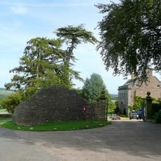
Eastbach Court
4.1 km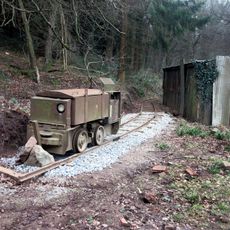
Lea Bailey Light Railway
3.1 km
Courtfield
2.5 km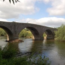
Kerne Bridge
4.5 km
English Bicknor Castle
4.4 km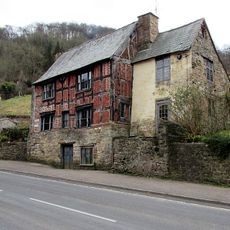
Sarah Siddons House The Old House
2.8 km
Brooks Head Grove
4.6 km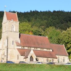
Holy Jesus' Church, Lydbrook
2.5 km
Mitcheldean Meend Marsh
2.6 km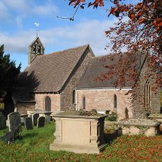
Church of St Michael
2.2 km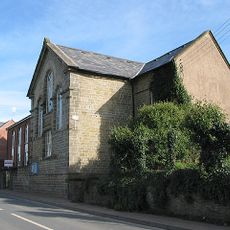
United Reformed Church
2.3 km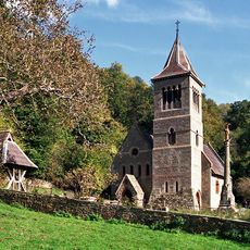
Church of St Margaret
3 km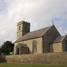
Church of the Holy Trinity
2.7 km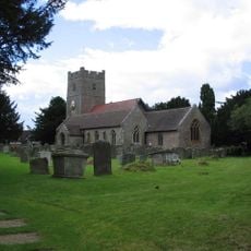
Church of St Mary the Virgin
4.4 km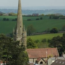
Church of St John the Baptist
287 m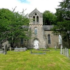
All Saints
2.7 km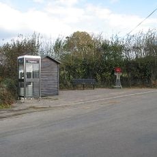
Howle Hill War Memorial
3.4 km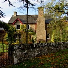
Coughton Mill House
4.2 km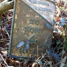
Milestone
3.9 km
Milepost, Kerne Bridge; opp. Hazelhurst Bungalows
3.9 km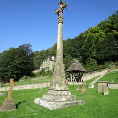
Churchyard Cross Approximately 5 Metres South-West Of Church Of St Margaret
3 km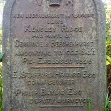
Enclosure Marker, Crabtree Hill Lodge
4 km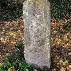
Milestone, Carter's Piece
4.1 km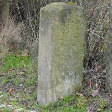
Milestone, High Street, 5m along lane
2.4 km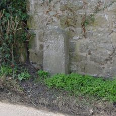
Milestone, near old vicarage
4.3 km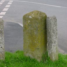
Milestone, junction
283 m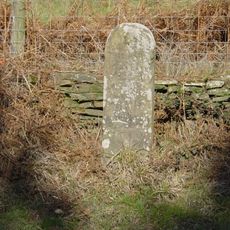
Milestone, by MR to Herbet Lodge
2.2 km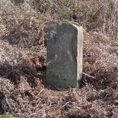
Milestone, on approach to old railway bridge
2.3 kmVous avez visité ce lieu ? Touchez les étoiles pour le noter et partager votre expérience ou vos photos avec la communauté ! Essayez maintenant ! Vous pouvez annuler à tout moment.
Trouvez des trésors cachés à chaque coin de rue !
Des petits cafés pittoresques aux points de vue planqués, fuyez la foule et dénichez les lieux qui vous ressemblent vraiment. Notre app vous facilite la vie : recherche vocale, filtres malins, itinéraires optimisés et bons plans partagés par des voyageurs du monde entier. Téléchargez vite pour vivre l'aventure en version mobile !

Une approche inédite de la découverte touristique❞
— Le Figaro
Tous les lieux qui valent la peine d'être explorés❞
— France Info
Une excursion sur mesure en quelques clics❞
— 20 Minutes