
Pont-rhyd-y-groes, village au Royaume-Uni
Emplacement : Ceredigion
Coordonnées GPS : 52.33820,-3.84904
Dernière mise à jour : 9 mars 2025 à 03:09
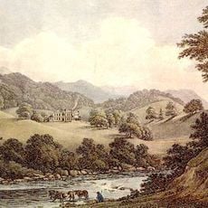
Hafod Uchtryd
1.9 km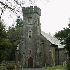
Eglwys Newydd Church
2.9 km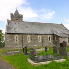
St John The Baptist's New Church, Ysbyty Ystwyth
1.5 km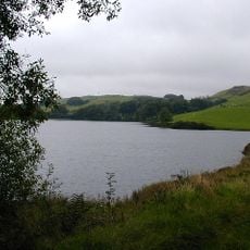
Llyn Frongoch
3.3 km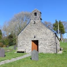
Old church of St John the Baptist
1.5 km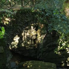
Pont Dologau
3 km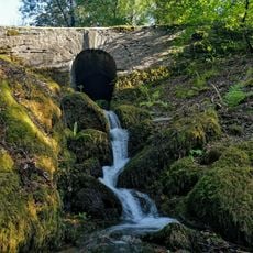
Bridge over stream to W of Bedford Monument
2.2 km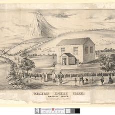
English Chapel
877 m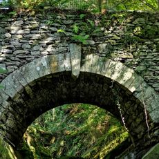
Bridge over the Nant Peiran
2.9 km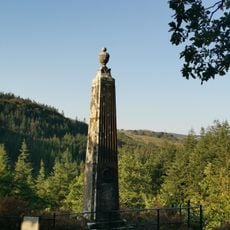
Monument to the Duke of Bedford, Hafod
2.3 km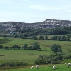
Hendre quarry
3.7 km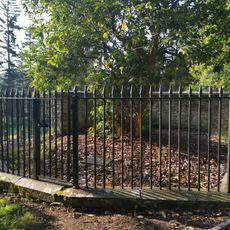
Enclosing rails and walls to Thomas Johnes grave in Eglwys Newydd churchyard
2.8 km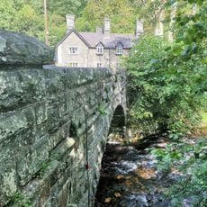
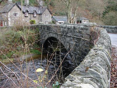
Pont Rhydygroes
41 m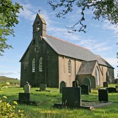
Llantrisant Church, Ceredigion
2.7 km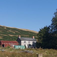
Pantymawn
2.4 km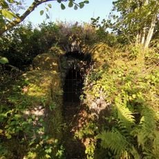
Ice House at Hafod
1.8 km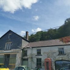
The Old Post Office
392 m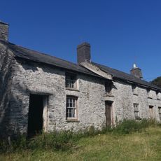
Cae'r meirch
1.8 km
Hafod Uchtryd
1.9 km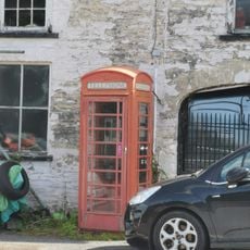
Telephone Call-box outside The Old Post Office
407 m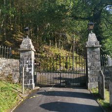
Entrance gates and piers to Eglwys Newydd church
2.9 km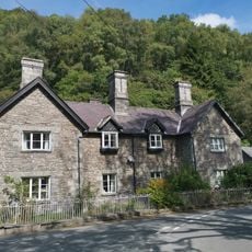
Ystwyth Villa
71 m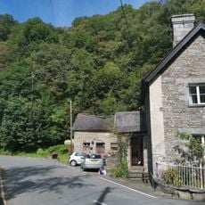
Outbuilding at Ystwyth Villa
73 m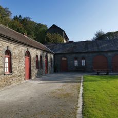
Stable Range at Hafod and attached courtyard walls
1.9 km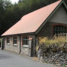
Bethel Calvinistic Methodist Sunday School
3.2 km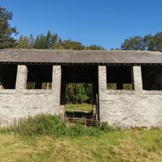
Hay-barn at Hafod
1.9 km
Gwynfryn and Isfryn
562 m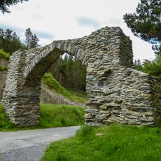
The Jubilee Arch
3.7 kmVous avez visité ce lieu ? Touchez les étoiles pour le noter et partager votre expérience ou vos photos avec la communauté ! Essayez maintenant ! Vous pouvez annuler à tout moment.
Trouvez des trésors cachés à chaque coin de rue !
Des petits cafés pittoresques aux points de vue planqués, fuyez la foule et dénichez les lieux qui vous ressemblent vraiment. Notre app vous facilite la vie : recherche vocale, filtres malins, itinéraires optimisés et bons plans partagés par des voyageurs du monde entier. Téléchargez vite pour vivre l'aventure en version mobile !

Une approche inédite de la découverte touristique❞
— Le Figaro
Tous les lieux qui valent la peine d'être explorés❞
— France Info
Une excursion sur mesure en quelques clics❞
— 20 Minutes