
Brandesburton, village and civil parish in the East Riding of Yorkshire, England
Emplacement : East Riding of Yorkshire
Coordonnées GPS : 53.91213,-0.30021
Dernière mise à jour : 3 mars 2025 à 03:29
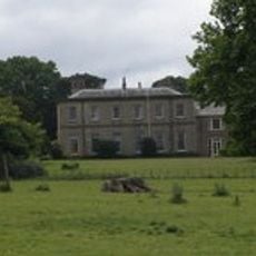
Wassand Hall
5.8 km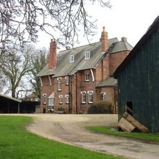
The Old Vicarage
5.4 km
Nunkeeling Priory
3.3 km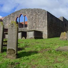
Church of Saint Mary Magdalene and Saint Helena
3.8 km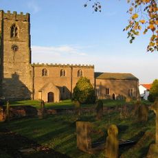
Church of St Andrew
8.4 km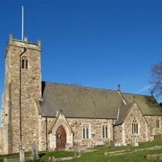
Church of St Michael
2.6 km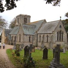
Holy Trinity Church
2.6 km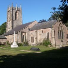
Church of St Leonard
6.9 km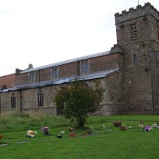
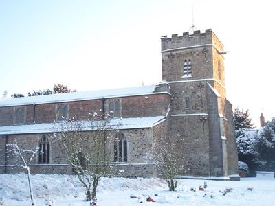
Church of St Mary
214 m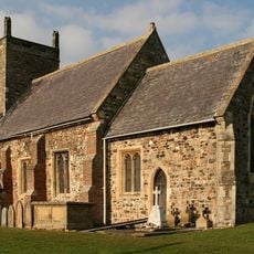
Church of St Margaret
4.9 km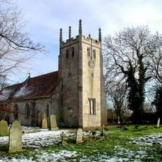
Church of All Saints
5.7 km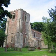
Church of St Lawrence
4.1 km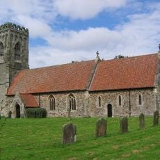
Church of St Elgin
6.5 km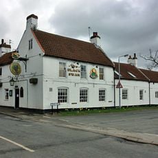
Black Swan Public House
72 m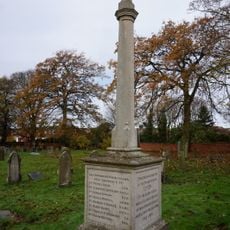
Leven War Memorial in the Churchyard of Holy Trinity Church
2.5 km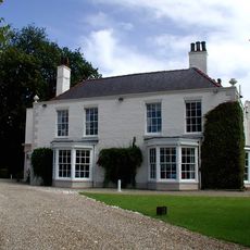
Tickton Grange
7 km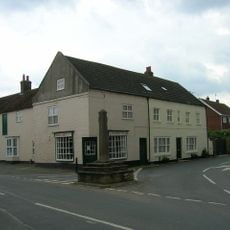
Market Cross
6 km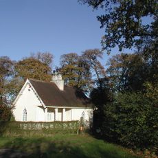
Lodge To Wassand Hall
5.2 km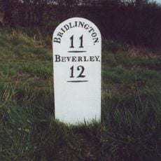
Milestone, Jct. of Dunnington Lane
5.6 km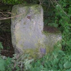
Milestone, half way between Routh and White Cross TI
4.4 km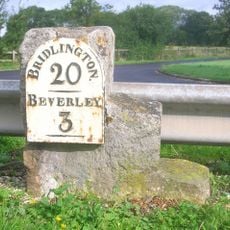
Milestone, by access road to Environment Agency
6.9 km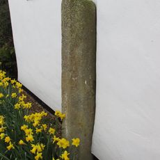
Wayside Cross
3.6 km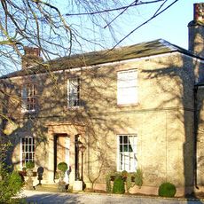
Seaton House
4.7 km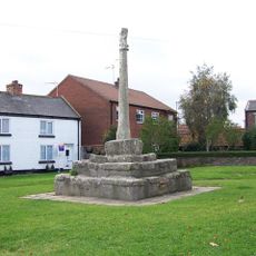
Market Cross
54 m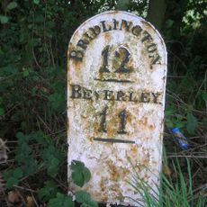
Milestone, Between Grange Road and track to Moor Grange
4 km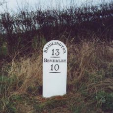
Milestone, 200m N of Moorside Farm entrance
2.3 km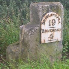
Milestone, W of Meaux Lane
5.8 km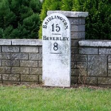
Milestone, Brandesburton, New Road adjacent to Elmfield Drive
460 mVous avez visité ce lieu ? Touchez les étoiles pour le noter et partager votre expérience ou vos photos avec la communauté ! Essayez maintenant ! Vous pouvez annuler à tout moment.
Trouvez des trésors cachés à chaque coin de rue !
Des petits cafés pittoresques aux points de vue planqués, fuyez la foule et dénichez les lieux qui vous ressemblent vraiment. Notre app vous facilite la vie : recherche vocale, filtres malins, itinéraires optimisés et bons plans partagés par des voyageurs du monde entier. Téléchargez vite pour vivre l'aventure en version mobile !

Une approche inédite de la découverte touristique❞
— Le Figaro
Tous les lieux qui valent la peine d'être explorés❞
— France Info
Une excursion sur mesure en quelques clics❞
— 20 Minutes