
Burnhope, village in County Durham, England, UK
Emplacement : County Durham
Coordonnées GPS : 54.82752,-1.70981
Dernière mise à jour : 19 mars 2025 à 19:25

Beamish, The Living Museum of The North
6.9 km
Ushaw College
5.4 km
Longovicium
3.2 km
Waldridge Fell
6.5 km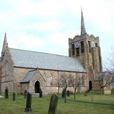
Church of St Andrew
5.2 km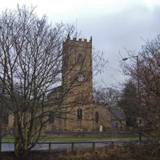
Church of All Saints
2.1 km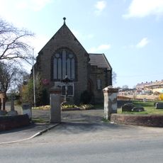
Church of St George
3.3 km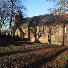
Church of St Edmund
7.2 km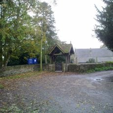
Church of St Michael and All Angels
5.5 km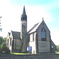
Church of St Paul
6.5 km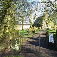
Church of St Michael
4.2 km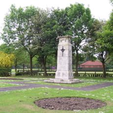
War Memorial in Annfield Plain Park
3.5 km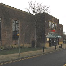
Lamplight Arts Centre
5.3 km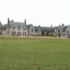
Former Junior Seminary Chapel Of St Aloysius At St. Cuthbert's College, Ushaw
5.4 km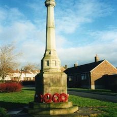
Witton Gilbert War Memorial
5.2 km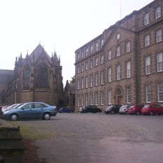
Complex Of Chapels At The College Of St Cuthbert, Ushaw
5.4 km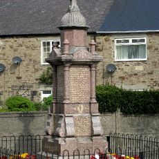
Langley Park War Memorial
4 km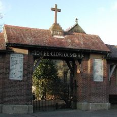
Burnhope War Memorial
643 m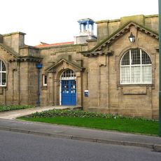
Annfield Plain Library
4.4 km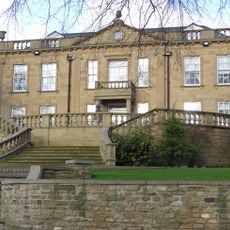
Witton Hall And Wall Attached
5.5 km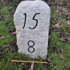
Milestone Opposite South End Of Hollinside Terrace
4.3 km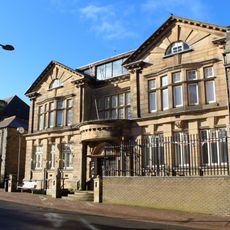
Derwentside Area Council Offices
4.9 km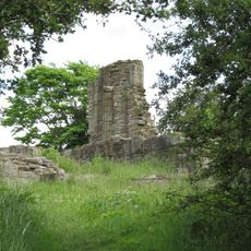
Beaurepaire Manor House
7 km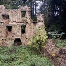
Langley Hall
2.8 km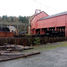
Winding Engine House And Boiler House At The Colliery
7 km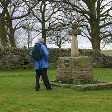
Esh Cross
4.3 km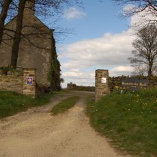
Hamsteels Hall Farmhouse
3.5 km
Milestone, Cadger Bank
2.6 kmAvis
Vous avez visité ce lieu ? Touchez les étoiles pour le noter et partager votre expérience ou vos photos avec la communauté ! Essayez maintenant ! Vous pouvez annuler à tout moment.
Trouvez des trésors cachés à chaque coin de rue !
Des petits cafés pittoresques aux points de vue planqués, fuyez la foule et dénichez les lieux qui vous ressemblent vraiment. Notre app vous facilite la vie : recherche vocale, filtres malins, itinéraires optimisés et bons plans partagés par des voyageurs du monde entier. Téléchargez vite pour vivre l'aventure en version mobile !

Une approche inédite de la découverte touristique❞
— Le Figaro
Tous les lieux qui valent la peine d'être explorés❞
— France Info
Une excursion sur mesure en quelques clics❞
— 20 Minutes