
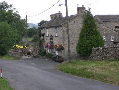
Downholme, village in United Kingdom
Emplacement : North Yorkshire
Coordonnées GPS : 54.37669,-1.82706
Dernière mise à jour : 3 avril 2025 à 06:15
Scott Trial
3.5 km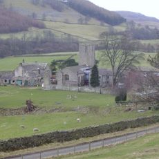
Marrick Priory
4.6 km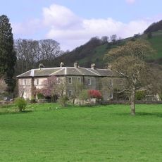
Ellerton Abbey
3.6 km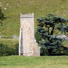
Ellerton Priory
3.4 km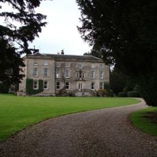
Marske Hall
2.6 km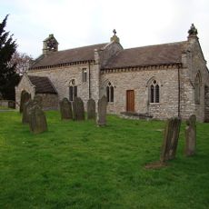
Church of Saint Michael and All Angels
489 m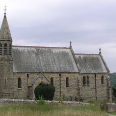
Church of Saint Michael and All Angels
3.7 km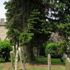
Church of St Edmund King and Martyr
2.7 km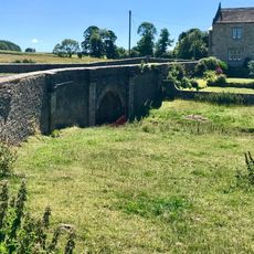
Walburn Bridge
2.1 km
Walburn Hall
2 km
19 And 21, The Green
6.2 km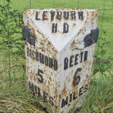
Milepost Approximately 10 Metres North Of Junction With B 6270
1 km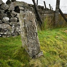
Robin Cross Boundary Stone
5.1 km
House Of Mrs Kane And Windrush
5 km
30, The Green
6.2 km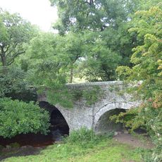
Pillimire Bridge
3.1 km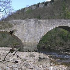
Downholme Bridge
1.2 km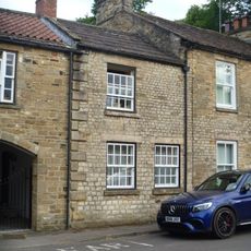
35, The Green
6.2 km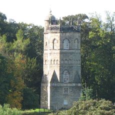
Culloden Tower
6.1 km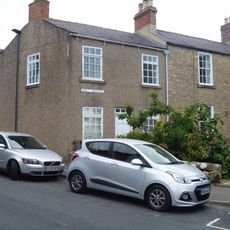
7 And 8, Westfields
6.2 km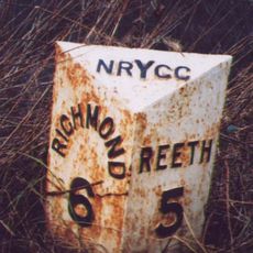
Mile Post Near Low Ingsque Wood Approximately 1 Mile North-East Of Junction With Stainton Road And Approximately 1 Mile South-West Of Junction With A 6108
1.3 km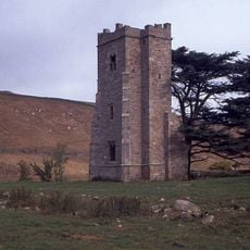
Ellerton Priory: a Cistercian nunnery including fishponds, water management system, mill, field systems and Ellerton medieval se
3.6 km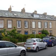
1-6, Westfields
6.2 km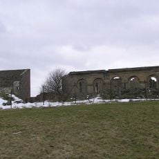
Old Grand Stand
6.3 km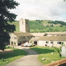
Marrick Priory Farmhouse
4.6 km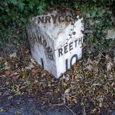
Milestone, opp. entrance to Richmond Caravan Park
5.3 km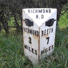
Milestone, E of lane opp to Thorpe under Stone
3.5 km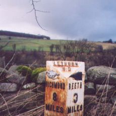
Milestone, nr entrance to Swale Farm
3.8 kmVous avez visité ce lieu ? Touchez les étoiles pour le noter et partager votre expérience ou vos photos avec la communauté ! Essayez maintenant ! Vous pouvez annuler à tout moment.
Trouvez des trésors cachés à chaque coin de rue !
Des petits cafés pittoresques aux points de vue planqués, fuyez la foule et dénichez les lieux qui vous ressemblent vraiment. Notre app vous facilite la vie : recherche vocale, filtres malins, itinéraires optimisés et bons plans partagés par des voyageurs du monde entier. Téléchargez vite pour vivre l'aventure en version mobile !

Une approche inédite de la découverte touristique❞
— Le Figaro
Tous les lieux qui valent la peine d'être explorés❞
— France Info
Une excursion sur mesure en quelques clics❞
— 20 Minutes