
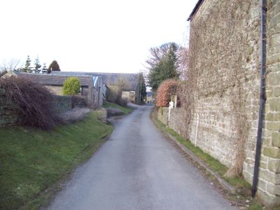
Thornhill, village britannique
Emplacement : High Peak
Partage une frontière avec : Aston, Bamford, Hope Woodlands, Brough and Shatton
Coordonnées GPS : 53.34800,-1.70400
Dernière mise à jour : 10 avril 2025 à 02:19
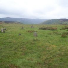
Hordron Edge stone circle
3.8 km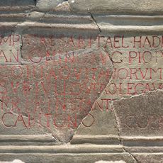
Navio Roman Fort
1.9 km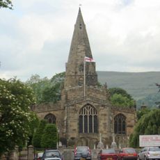
Church of St Peter
2.6 km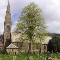
St John the Baptist church
965 m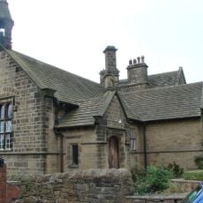
Roman Catholic Church of Our Lady of Sorrows and Attached Presbytery
935 m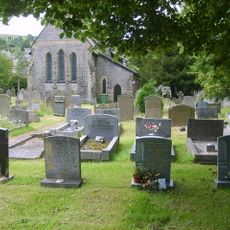
St Barnabas' Church, Bradwell
3.3 km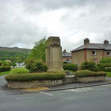
Hope War Memorial
2.5 km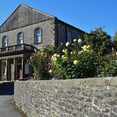
Methodist Church
3.5 km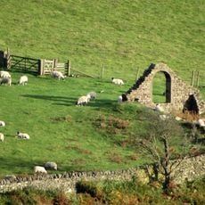
North Lees Chapel
3.5 km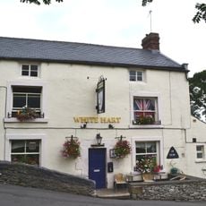
The White Hart Inn
3.4 km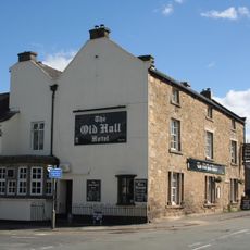
Old Hall Hotel
2.5 km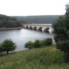
Ashopton Viaduct
3 km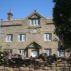
Aston Hall
1.3 km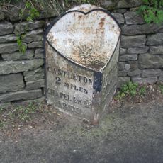
Mile Post at SK 176 834
2.3 km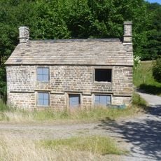
Former Gamekeepers Lodge At Brookfield Manor
3.5 km
Yorkshire Bridge
1.5 km
The Grey Ditch
2.9 km
Killhill Farmhouse
2.7 km
Offerton Hall
2.9 km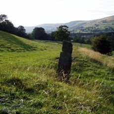
Navio Roman fort and vicus
1.8 km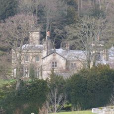
Brookfield Manor
3.4 km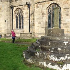
Standing cross in the churchyard of St Peter's Church
2.6 km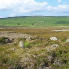
Stone circle, 960m north east of High Lees Farm
3.8 km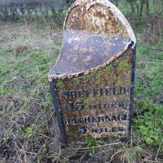
Mile Post At Os 189 826
1.2 km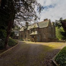
Rectory And Attached Coach House
1 km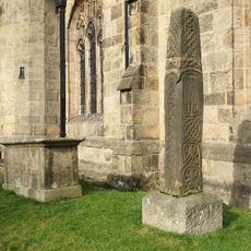
Anglian high cross in the churchyard of St Peter's Church
2.6 km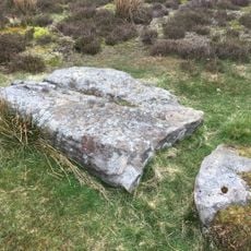
Prehistoric standing stone 1,030m south west of triangulation point on High Neb
2.5 km
Stanley House and attached stableblock
3.4 kmAvis
Vous avez visité ce lieu ? Touchez les étoiles pour le noter et partager votre expérience ou vos photos avec la communauté ! Essayez maintenant ! Vous pouvez annuler à tout moment.
Trouvez des trésors cachés à chaque coin de rue !
Des petits cafés pittoresques aux points de vue planqués, fuyez la foule et dénichez les lieux qui vous ressemblent vraiment. Notre app vous facilite la vie : recherche vocale, filtres malins, itinéraires optimisés et bons plans partagés par des voyageurs du monde entier. Téléchargez vite pour vivre l'aventure en version mobile !

Une approche inédite de la découverte touristique❞
— Le Figaro
Tous les lieux qui valent la peine d'être explorés❞
— France Info
Une excursion sur mesure en quelques clics❞
— 20 Minutes