
Witherslack, localité britannique du comté anglais de Cumbria
Emplacement : Witherslack, Meathop and Ulpha
Coordonnées GPS : 54.24722,-2.87028
Dernière mise à jour : 31 mars 2025 à 23:48
Castle Head Field Centre
4.2 km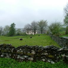
Cowmire Hall and wall running approximately 20 metres to east, with gate piers
4.9 km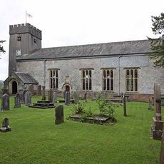
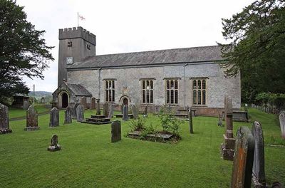
St Paul's Church
400 m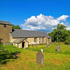
St Anthony's Church, Cartmel Fell
4.6 km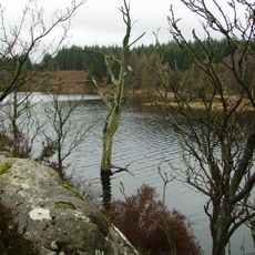
Simpson Ground Reservoir
4.5 km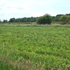
Meathop Moss
2.3 km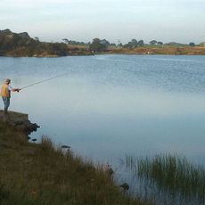
High Newton Lower Reservoir
3.4 km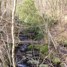
Way Beck
2.2 km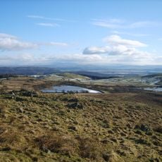
High Newton Upper Reservoir
3.5 km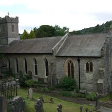
Church of St Paul
4 km
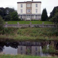
Witherslack Hall
2.3 km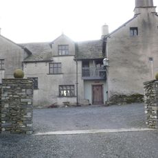
Hodge Hill Hall
4.6 km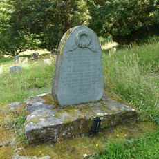
Cartmel Fell War Memorial
4.5 km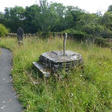
Base of sundial approximately 15 metres to south-east of St Anthony's church
4.5 km
Pool Bank House
4 km
Bleacrag Bridge
1.1 km
Barn immediately to north of Pool Bank Farmhouse
4 km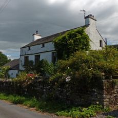
Pool Bank North with outbuilding
4.1 km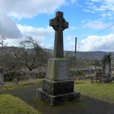
Witherslack War Memorial
408 m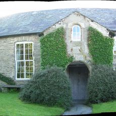
Barrow Wife
2.9 km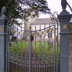
Gatepiers and overthrow to south of Church of St Paul
370 m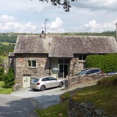
Former barn approximately 40 metres to north of Hodge Hill
4.6 km
Barn immediately to south of Pool Bank
3.9 km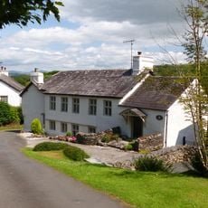
Pool Bank Farmhouse
4 km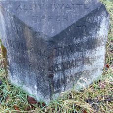
Milestone, by bridge to Moss End Farm, Lindale bypass
3.5 km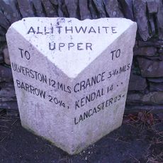
Milestone, High Newton
3.2 km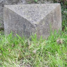
Milestone, E of Lindale
3.8 km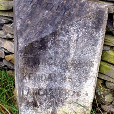
Milestone, N of Ayside
4 kmVous avez visité ce lieu ? Touchez les étoiles pour le noter et partager votre expérience ou vos photos avec la communauté ! Essayez maintenant ! Vous pouvez annuler à tout moment.
Trouvez des trésors cachés à chaque coin de rue !
Des petits cafés pittoresques aux points de vue planqués, fuyez la foule et dénichez les lieux qui vous ressemblent vraiment. Notre app vous facilite la vie : recherche vocale, filtres malins, itinéraires optimisés et bons plans partagés par des voyageurs du monde entier. Téléchargez vite pour vivre l'aventure en version mobile !

Une approche inédite de la découverte touristique❞
— Le Figaro
Tous les lieux qui valent la peine d'être explorés❞
— France Info
Une excursion sur mesure en quelques clics❞
— 20 Minutes