
Bury, village britannique
Emplacement : Chichester
Coordonnées GPS : 50.90939,-0.56332
Dernière mise à jour : 3 mars 2025 à 02:47
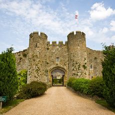
Château d'Amberley
1.6 km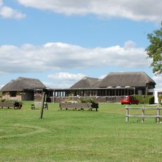
Bignor roman villa
2.7 km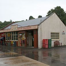
Amberley Museum and Heritage Centre
2.1 km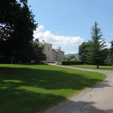
Bignor Park
3.1 km
Amberley Castle
1.6 km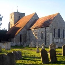
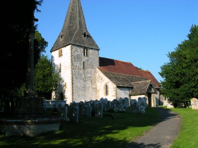
The Parish Church of St Michael and All Angels
1.7 km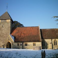
The Parish Church of St Giles
3.6 km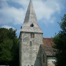
The Parish Church of St John the Evangelist
566 m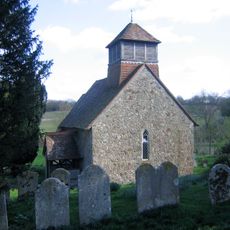
Church of St Agatha
4.8 km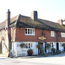
The Swan Hotel
5.3 km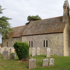
The Parish Church of St Mary
4.8 km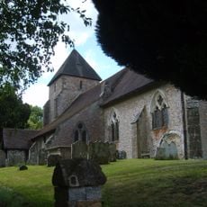
The Parish Church of St John the Baptist
4 km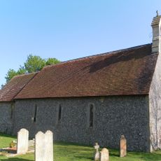
The Parish Church of St Nicholas
1.9 km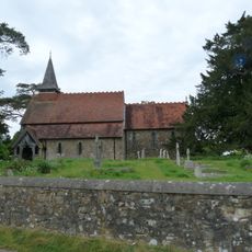
The Parish Church of the Holy Cross
3.2 km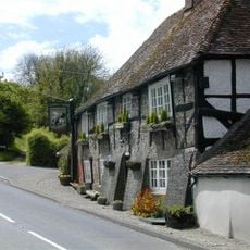
The George And Dragon Inn
1.8 km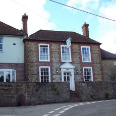
The White Horse Inn
3.8 km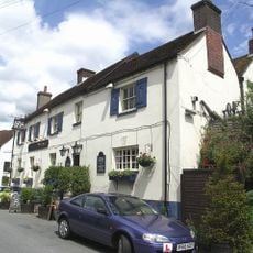
The Black Horse Inn
2.1 km
Prattendens
285 m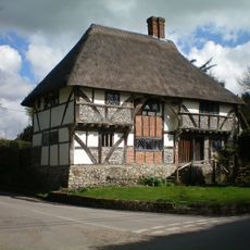
The Yeoman's House
3 km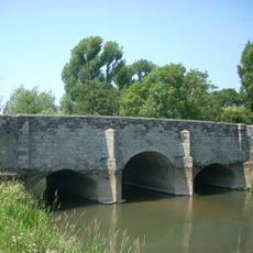
Lower Fittleworth South Bridge
5.1 km
Fittleworth Bridge, North And South
5.2 km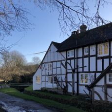
Fogdens
1.6 km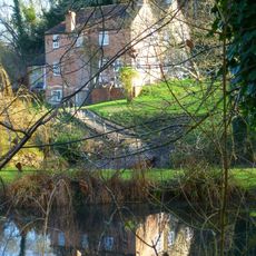
Bignor Mill
3.3 km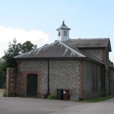
The Stables of Bignor Park to the north-west of the house
3.1 km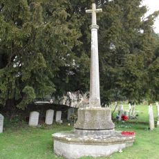
Bury War Memorial, West Sussex
529 m
Timberley Viaduct
1.3 km
Hardham Priory Farmhouse
4.5 km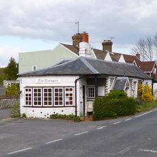
The Turnpike
2 kmVous avez visité ce lieu ? Touchez les étoiles pour le noter et partager votre expérience ou vos photos avec la communauté ! Essayez maintenant ! Vous pouvez annuler à tout moment.
Trouvez des trésors cachés à chaque coin de rue !
Des petits cafés pittoresques aux points de vue planqués, fuyez la foule et dénichez les lieux qui vous ressemblent vraiment. Notre app vous facilite la vie : recherche vocale, filtres malins, itinéraires optimisés et bons plans partagés par des voyageurs du monde entier. Téléchargez vite pour vivre l'aventure en version mobile !

Une approche inédite de la découverte touristique❞
— Le Figaro
Tous les lieux qui valent la peine d'être explorés❞
— France Info
Une excursion sur mesure en quelques clics❞
— 20 Minutes