
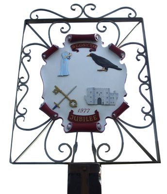
St Osyth, village britannique
Emplacement : Tendring
Coordonnées GPS : 51.79900,1.08000
Dernière mise à jour : 4 mars 2025 à 12:10

Abbaye de St. Osyth
352 m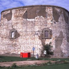
Jaywick Martello Tower
3.1 km
Clacton Cliffs and Foreshore
3.9 km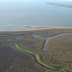
Colne Point nature reserve
3.6 km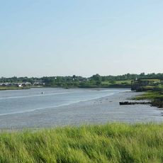
Howlands Marsh
1.6 km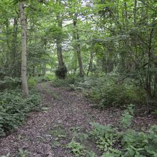
Riddles Wood
2.2 km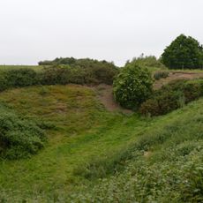
St Osyth Pit
1.4 km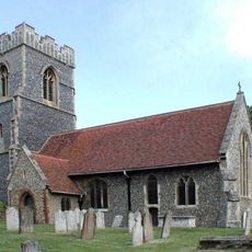
Church of St Mary Magdelene
4.8 km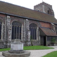
Church of St Peter and St Paul
205 m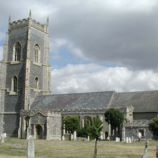
Church of All Saints
5.7 km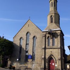
Church of St James
4 km
St Osyth's Priory: The Abbot's Lodging and South Wing, the Darcy Clock Tower and C18 House (formerly listed as the Convalescent Home)
356 m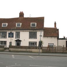
The Brewers Arms Public House
3.9 km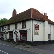
The Kings Arms Hotel
276 m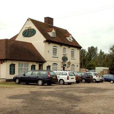
The Flag Inn
2.5 km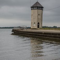
Bateman's Tower
4.4 km
The Anchor Hotel
3.9 km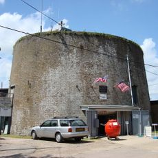
Martello Tower A
4.2 km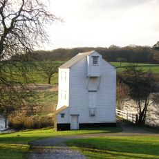
Moulin à marée de Thorrington
5.7 km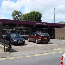
Brightlingsea Library
4 km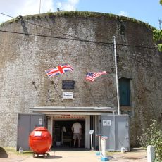
East Essex Aviation Society and Museum
4.2 km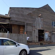
Sailmaking Loft
4.1 km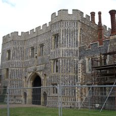
St Osyth's Priory, Gatehouse And East And West Flanking Ranges
351 m
The Kings Head
4.1 km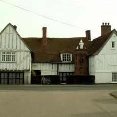
Jacobes Hall
3.8 km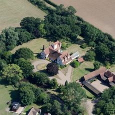
St Clere's Hall
821 m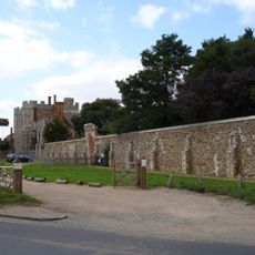
St Osyth's Priory Boundary Walls
439 m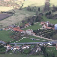
St Osyth's Priory, Tithe Barn Adjoining The West Range Of Gatehouse
403 mVous avez visité ce lieu ? Touchez les étoiles pour le noter et partager votre expérience ou vos photos avec la communauté ! Essayez maintenant ! Vous pouvez annuler à tout moment.
Trouvez des trésors cachés à chaque coin de rue !
Des petits cafés pittoresques aux points de vue planqués, fuyez la foule et dénichez les lieux qui vous ressemblent vraiment. Notre app vous facilite la vie : recherche vocale, filtres malins, itinéraires optimisés et bons plans partagés par des voyageurs du monde entier. Téléchargez vite pour vivre l'aventure en version mobile !

Une approche inédite de la découverte touristique❞
— Le Figaro
Tous les lieux qui valent la peine d'être explorés❞
— France Info
Une excursion sur mesure en quelques clics❞
— 20 Minutes