
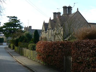
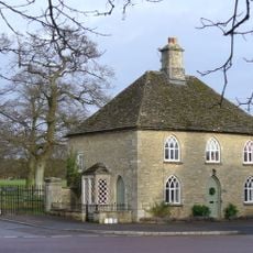
Hatherop, village and civil parish in Gloucestershire, United Kingdom
Emplacement : Cotswold District
Coordonnées GPS : 51.73391,-1.75649
Dernière mise à jour : 2 mars 2025 à 21:32
Fairford Park
2.9 km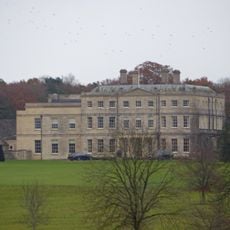
Williamstrip Park
2 km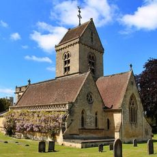
Church of St Nicholas
1.9 km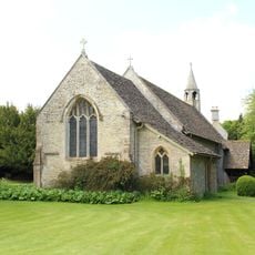
Church of St Swithin
2.1 km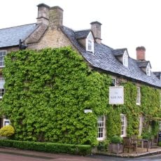
The New Inn
2.5 km
Hatherop Castle School
2 km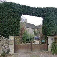
The Old Rectory
2 km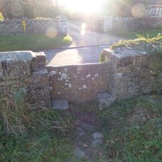
Stone stile and attached wall about 5 1/2 metres long, adjoining on east of wall of Quenington House
2.1 km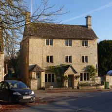
Post Office
2.6 km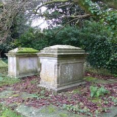
King and Randall Monuments, about 6 metres south west of south door in churchyard of Church of St Swithin
2.1 km
The Little House
2.1 km
Waterside
2.5 km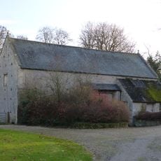
Barn at Court Farm
2.1 km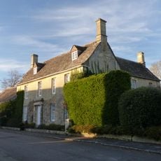
Quenington House
2.2 km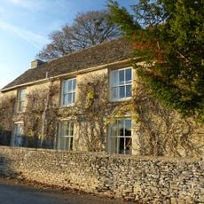
Mawley Farm House
2.1 km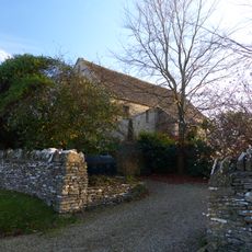
Barn at Mawley House Cottage
2.1 km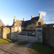
The Long House
2 km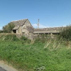
Bee Furlong Barn and shelter sheds
1.7 km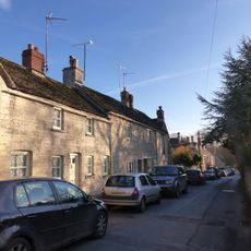
Nos 8 to 14 (consec) and Rosamundi
2.6 km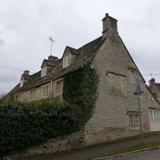
25 and 26, Hatherop Road
2.6 km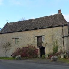
The Mill
2.5 km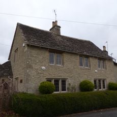
8, The Green
2.4 km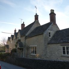
57, 58 and 59, Main Street
2.6 km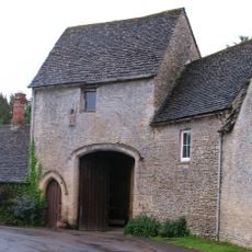
Knights Hospitallers Gateway at Knights Gate
2.1 km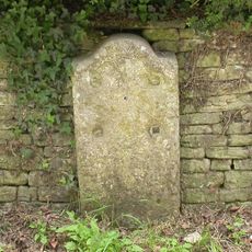
Milestone, Hatherop Castle School
2.1 km
Milestone, Village Green
2.5 km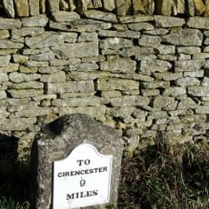
Milestone, Netherton
963 m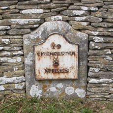
Milestone, Fowler's Hill, by cemetery
2.5 kmVous avez visité ce lieu ? Touchez les étoiles pour le noter et partager votre expérience ou vos photos avec la communauté ! Essayez maintenant ! Vous pouvez annuler à tout moment.
Trouvez des trésors cachés à chaque coin de rue !
Des petits cafés pittoresques aux points de vue planqués, fuyez la foule et dénichez les lieux qui vous ressemblent vraiment. Notre app vous facilite la vie : recherche vocale, filtres malins, itinéraires optimisés et bons plans partagés par des voyageurs du monde entier. Téléchargez vite pour vivre l'aventure en version mobile !

Une approche inédite de la découverte touristique❞
— Le Figaro
Tous les lieux qui valent la peine d'être explorés❞
— France Info
Une excursion sur mesure en quelques clics❞
— 20 Minutes