
Firbeck, village in South Yorkshire, UK
Emplacement : Rotherham
Coordonnées GPS : 53.38967,-1.15630
Dernière mise à jour : 4 mars 2025 à 21:43
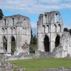
Abbaye de Roche
2.3 km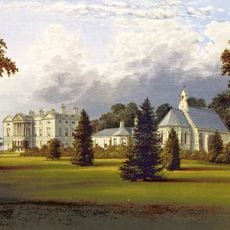
Sandbeck Park
2 km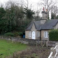
Hermeston Hall
2.7 km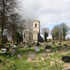
St John's Church, Throapham
4 km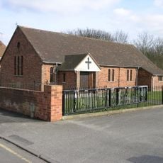
St Luke's Church, Langold
2.9 km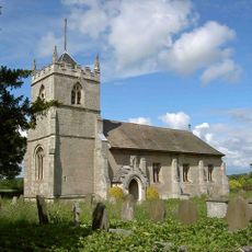
St Peter's Church, Letwell
1.4 km
St Mark's Church
2.5 km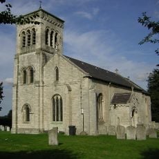
Church of St Martin
37 m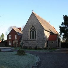
Church of St Helen
2.9 km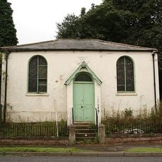
Wesleyan Chapel
2.9 km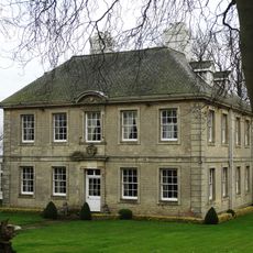
Slade Hooton Hall
3.9 km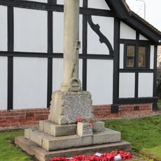
Oldcotes War Memorial
2.5 km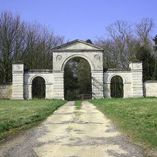
Malpas Hill Gateway
3.2 km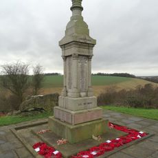
Maltby War Memorial
4.3 km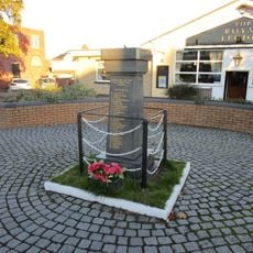
Langold War Memorial
2.8 km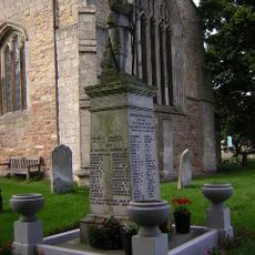
Laughton en le Morthen War Memorial
4.5 km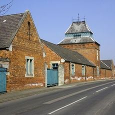
Range Of Farm Buildings At Manor Farm
3.1 km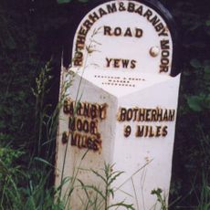
Milepost At East End Of Stone Green
1.5 km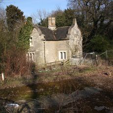
West Lodge (To Firbeck Hospital)
570 m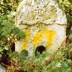
Milestone, nr entrance to Maltby Colliery
3.9 km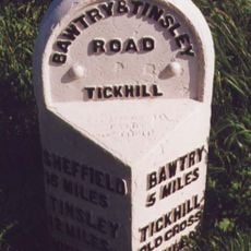
Milestone, top of hill, E of Blyth Gate Lane
4.4 km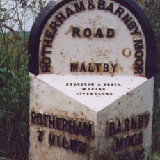
Milepost Approximately 30 Metres South Of Junction With Morrell Street
4.4 km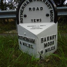
Milepost Approximately 160 Metres North West Of Junction With Gypsy Lane
2.8 km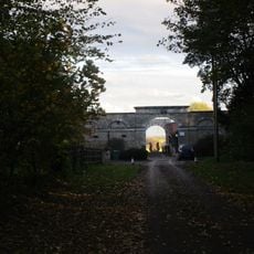
Enclosure And Outbuildings To Farmyard At Hodsock Grange
3 km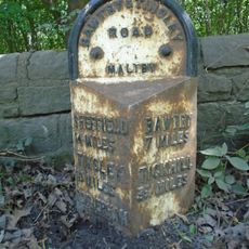
Milepost Approximately 50 Metres West Of Entrance To Maltby Colliery
3.9 km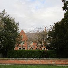
Manor Farm Farmhouse
3.1 km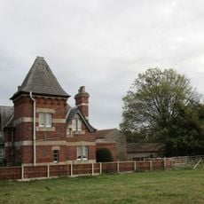
East Lodge
3.1 km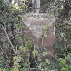
Milepost, N of track to Goldthorpe Farm; between Oldcotes (A634 jct) and Langold
2.6 kmVous avez visité ce lieu ? Touchez les étoiles pour le noter et partager votre expérience ou vos photos avec la communauté ! Essayez maintenant ! Vous pouvez annuler à tout moment.
Trouvez des trésors cachés à chaque coin de rue !
Des petits cafés pittoresques aux points de vue planqués, fuyez la foule et dénichez les lieux qui vous ressemblent vraiment. Notre app vous facilite la vie : recherche vocale, filtres malins, itinéraires optimisés et bons plans partagés par des voyageurs du monde entier. Téléchargez vite pour vivre l'aventure en version mobile !

Une approche inédite de la découverte touristique❞
— Le Figaro
Tous les lieux qui valent la peine d'être explorés❞
— France Info
Une excursion sur mesure en quelques clics❞
— 20 Minutes