
Clawton, village in United Kingdom
Emplacement : Torridge District
Coordonnées GPS : 50.76702,-4.34940
Dernière mise à jour : 5 mars 2025 à 08:37
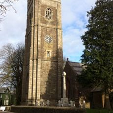
St Peter's and St Paul's Church, Holsworthy
4.9 km
St James's Church, Luffincott
4.5 km
Church of St Petrock
5.2 km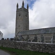
Church of St Denis, North Tamerton
3.6 km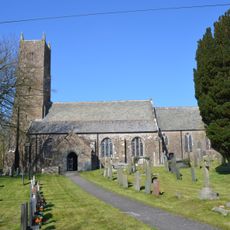
Church of St Swithin
5 km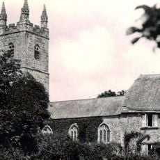
Church of St Bridget
7.5 km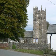
Church of St Peter
5.7 km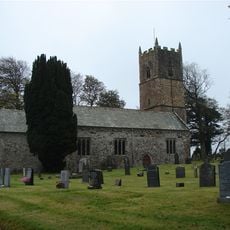
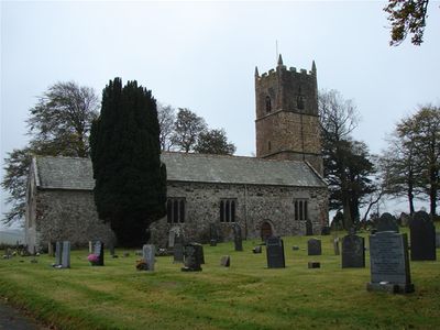
Church of St Leonard
504 m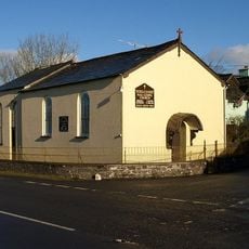
Methodist Chapel
5.9 km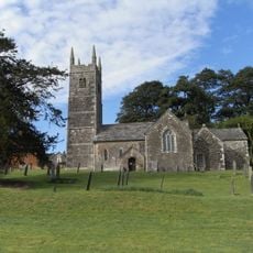
Church of the Holy Cross
2.8 km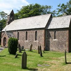
Church of St Bridget
7.1 km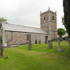
Church of the Holy Name
7.4 km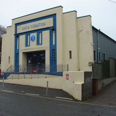
Hats Theatre
4.7 km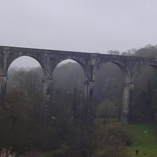
Derriton Viaduct
4.6 km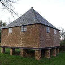
Granary About 30 Metres North West Of Tetcott Manor
2.8 km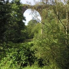
Holsworthy Viaduct
4.6 km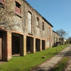
Range Of Farmbuildings About 30M South West Of Hayne Farmhouse
4.8 km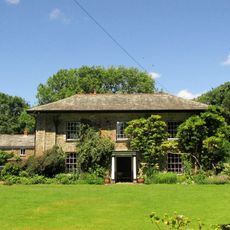
The Old Rectory And Walls Enclosing Garden To North East
4.6 km
Eastacombe Farmhouse
1.2 km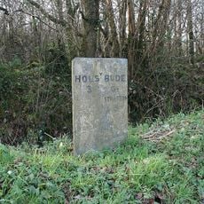
Milestone At Ngr Ss 3009 0520
7.6 km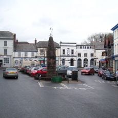
Market Cross
4.8 km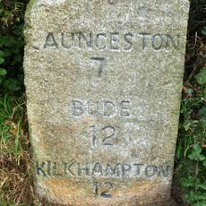
Milestone, Parkhurst, West Curry
7.6 km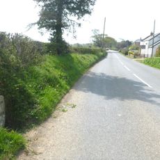
Milestone, Whitstone village
7.7 km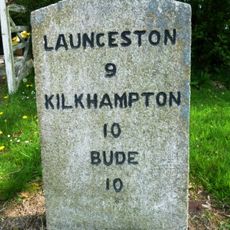
Milestone, in street on wide verge
7.7 km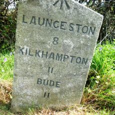
Milestone, S of Willsworthy Cross
7.8 km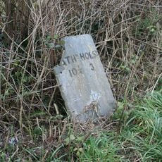
Milestone, 250m E of Stapledon Farm
6.3 km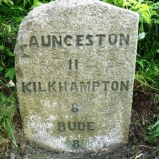
Milestone, near Tonkins Farm
7.6 km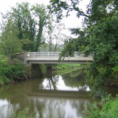
Boyton Bridge
6.9 kmVous avez visité ce lieu ? Touchez les étoiles pour le noter et partager votre expérience ou vos photos avec la communauté ! Essayez maintenant ! Vous pouvez annuler à tout moment.
Trouvez des trésors cachés à chaque coin de rue !
Des petits cafés pittoresques aux points de vue planqués, fuyez la foule et dénichez les lieux qui vous ressemblent vraiment. Notre app vous facilite la vie : recherche vocale, filtres malins, itinéraires optimisés et bons plans partagés par des voyageurs du monde entier. Téléchargez vite pour vivre l'aventure en version mobile !

Une approche inédite de la découverte touristique❞
— Le Figaro
Tous les lieux qui valent la peine d'être explorés❞
— France Info
Une excursion sur mesure en quelques clics❞
— 20 Minutes