
Tadlow, village in the United Kingdom
Emplacement : South Cambridgeshire
Coordonnées GPS : 52.11071,-0.13128
Dernière mise à jour : 3 mars 2025 à 02:44
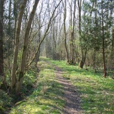
Potton Wood
3.9 km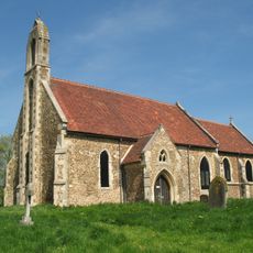
Church of St Denis
3.1 km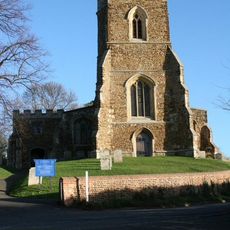
Church of St Mary, Potton
5.6 km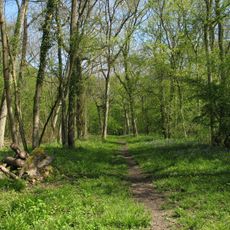
Buff Wood
2.9 km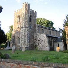
Church of St Peter, Wrestlingworth
2.1 km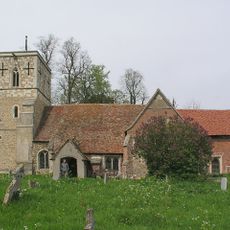
Church of All Saints
4.1 km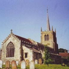
Parish Church of St Mary
3.3 km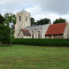
Parish Church of St Michael and All Angels, Abington Pigotts
3.7 km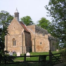
Church of All Saints
3.6 km
Church of St George
3.7 km
Church of St Nicholas
5.3 km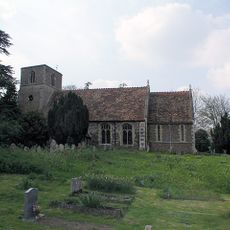
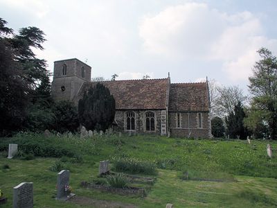
Church of St Giles
158 m
All Saints (Shingay-cum-Wendy Parish Church)
4.3 km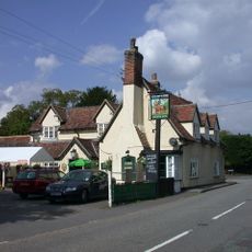
The Chequers Inn
2.3 km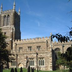
Church of St John the Baptist, Cockayne Hatley
3.3 km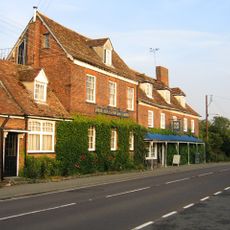
Hardwicke Arms Hotel
5.5 km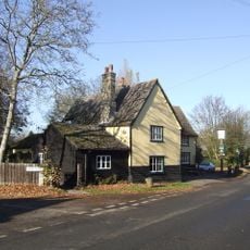
Three Tuns Public House
3.8 km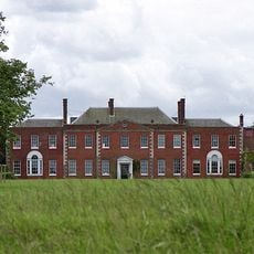
Hatley Park
3.5 km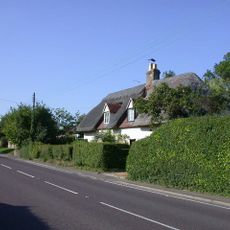
Acacia Cottage Rose Cottage
5.5 km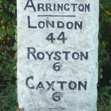
Milestone, Corner Of Ermine Way And Potton Road
5.3 km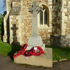
Wrestlingworth War Memorial
2.2 km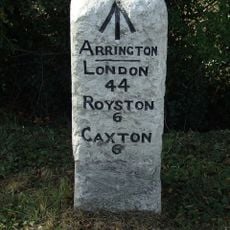
Milestone 60m north-east of Arrington Nurseries
5.4 km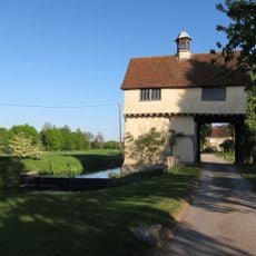
Down Hall Gatehouse
4.4 km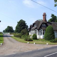
Lodge To Hatley Park
3.6 km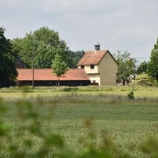
Gatehouse Circa 65 Metres To North West Of Down Hall
4.4 km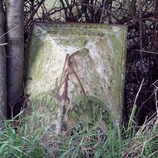
Milestone Near The Beeches And Craden Old Farm
3.8 km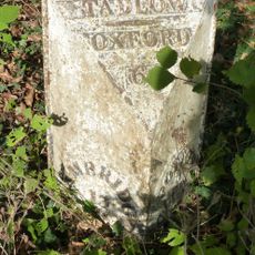
Milepost, Lower Road, E of jct with High Street
570 m
K6 Telephone Kiosk
5.5 kmVous avez visité ce lieu ? Touchez les étoiles pour le noter et partager votre expérience ou vos photos avec la communauté ! Essayez maintenant ! Vous pouvez annuler à tout moment.
Trouvez des trésors cachés à chaque coin de rue !
Des petits cafés pittoresques aux points de vue planqués, fuyez la foule et dénichez les lieux qui vous ressemblent vraiment. Notre app vous facilite la vie : recherche vocale, filtres malins, itinéraires optimisés et bons plans partagés par des voyageurs du monde entier. Téléchargez vite pour vivre l'aventure en version mobile !

Une approche inédite de la découverte touristique❞
— Le Figaro
Tous les lieux qui valent la peine d'être explorés❞
— France Info
Une excursion sur mesure en quelques clics❞
— 20 Minutes