
Mulbarton, localité britannique du comté anglais de Norfolk
Emplacement : South Norfolk
Coordonnées GPS : 52.58720,1.22530
Dernière mise à jour : 13 mai 2025 à 18:58
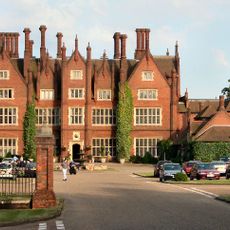
Dunston Hall Hotel
4.3 km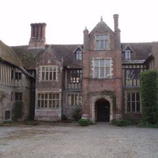
Rainthorpe Hall
6.7 km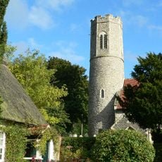
Church of All Saints, Intwood
1.2 km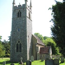
Church of St Remigius
4.5 km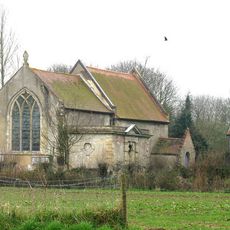
Church of St Nicholas
3.6 km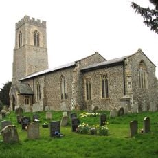
Church of St Mary Magdalen
2.7 km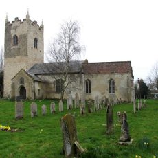
Church of All Saints
3.6 km
Church of the Holy Cross
5.8 km
Church of St Peter
4.3 km
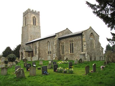
Church of St Mary
1.9 km
Church of St Michael
6.4 km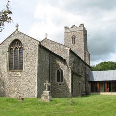
Church of St Mary the Virgin
5.9 km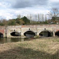
Newton Flotman Bridge
6.3 km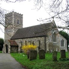
Church of St Mary
1.7 km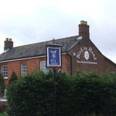
Bird-In-Hand P.H.
5.3 km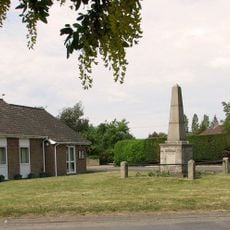
Bracon Ash and Hethel War Memorial
3.8 km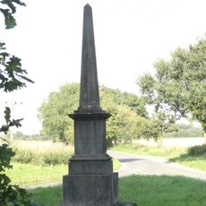
Queen Victoria's Monument, Ketteringham
1.2 km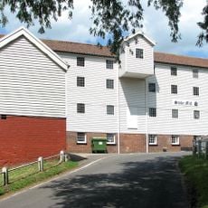
Stoke Mill
5 km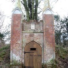
Icehouse To Ketteringham Hall At Tg 1691 0264
2 km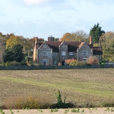
Flordon Hall
5.7 km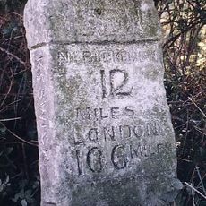
Milestone, 200yds N of S Bypass flyover
2.4 km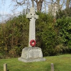
Swardeston War Memorial
1.9 km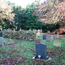
Ruins of Church of St Peter C.20M East of Church of St Mary Q.V. 5/20
1.7 km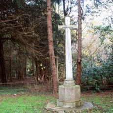
East Carleton War Memorial
1.7 km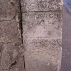
Milestone No 4 At Tg 2011 0251
1.9 km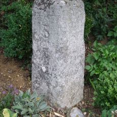
Milestone, jct with Church Road
4.5 km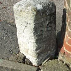
Milestone, by Duffields Mill, S of bridge
6.4 km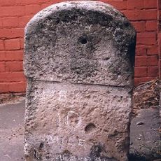
Milestone, R side of Methodist Chapel, L of Worlds End pub
2.5 kmVous avez visité ce lieu ? Touchez les étoiles pour le noter et partager votre expérience ou vos photos avec la communauté ! Essayez maintenant ! Vous pouvez annuler à tout moment.
Trouvez des trésors cachés à chaque coin de rue !
Des petits cafés pittoresques aux points de vue planqués, fuyez la foule et dénichez les lieux qui vous ressemblent vraiment. Notre app vous facilite la vie : recherche vocale, filtres malins, itinéraires optimisés et bons plans partagés par des voyageurs du monde entier. Téléchargez vite pour vivre l'aventure en version mobile !

Une approche inédite de la découverte touristique❞
— Le Figaro
Tous les lieux qui valent la peine d'être explorés❞
— France Info
Une excursion sur mesure en quelques clics❞
— 20 Minutes