
Tattersett, localité britannique du comté anglais de Norfolk
Emplacement : North Norfolk
Coordonnées GPS : 52.83477,0.73864
Dernière mise à jour : 13 mars 2025 à 07:46
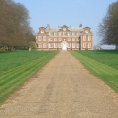
Raynham Hall
5.5 km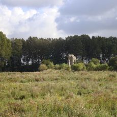
Coxford Priory
915 m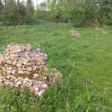
Hempton Priory
6.4 km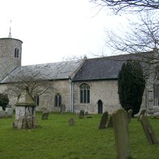
Church of St Mary
3.1 km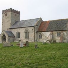
Church of All Saints
895 m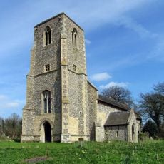
Church of St Peter
3.4 km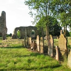
Church of St Margaret
5.2 km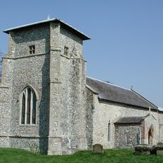
Church of All Saints
5.7 km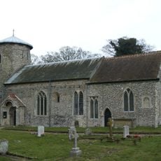
Church of St Nicholas, Shereford
4.2 km
Church of All Saints
4.1 km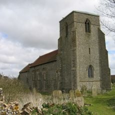
Church of St Peter
3.4 km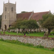
Church of St Mary and All Saints
5.7 km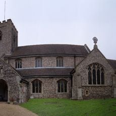
Church of St Mary
2.4 km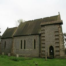
Church of St Margaret
2.6 km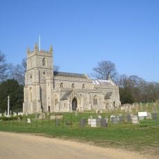
Church of St Mary
5.5 km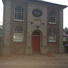
Primitive Methodist Ebenezer Chapel
2.2 km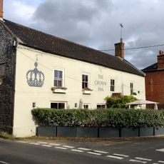
The Crown Public House
2.5 km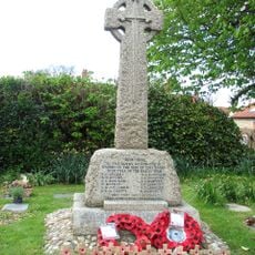
Syderstone War Memorial Cross
3.1 km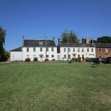
Mulberry Tree House
2.5 km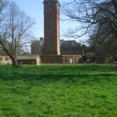
Water Tower, Raynham Hall
5.4 km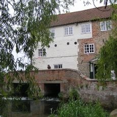
Mill House
4.7 km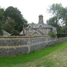
21,22
5.3 km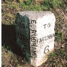
Milestone, 80yds E of jct with Eye Lane
1.9 km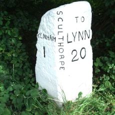
Milestone, 20yds W of jct with A148
5.6 km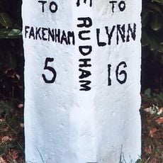
Milestone, 30yds E of gate to Coxford Nurseries, opp. cottages
526 m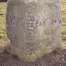
Milestone, opp. drive between "Rosedean" and "Albion House"
3.3 km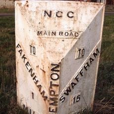
Milepost, 15yds N of jct with A1065
6.5 km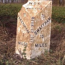
Milepost, S of track to Raynham Park, S.Raynham
5.9 kmVous avez visité ce lieu ? Touchez les étoiles pour le noter et partager votre expérience ou vos photos avec la communauté ! Essayez maintenant ! Vous pouvez annuler à tout moment.
Trouvez des trésors cachés à chaque coin de rue !
Des petits cafés pittoresques aux points de vue planqués, fuyez la foule et dénichez les lieux qui vous ressemblent vraiment. Notre app vous facilite la vie : recherche vocale, filtres malins, itinéraires optimisés et bons plans partagés par des voyageurs du monde entier. Téléchargez vite pour vivre l'aventure en version mobile !

Une approche inédite de la découverte touristique❞
— Le Figaro
Tous les lieux qui valent la peine d'être explorés❞
— France Info
Une excursion sur mesure en quelques clics❞
— 20 Minutes