
Hornton, localité britannique du comté anglais d'Oxfordshire
Emplacement : Cherwell
Partage une frontière avec : Horley, Shenington with Alkerton, Wroxton
Site web : http://hornton.org.uk
Coordonnées GPS : 52.10200,-1.42700
Dernière mise à jour : 8 mars 2025 à 14:49
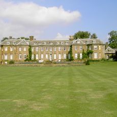
Upton House
2.5 km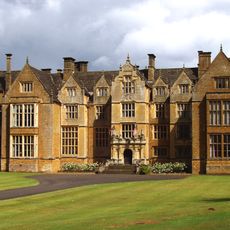
Abbaye de Wroxton
4.1 km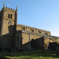
Church of All Saints, Wroxton
4 km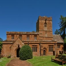
Church of St Michael
2.6 km
Church of St Michael
3 km
Church of St Lawrence
3.3 km
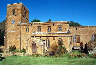
Church of St John the Baptist
123 m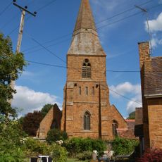
Church of St Peter
4 km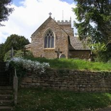
Church of Holy Trinity
3 km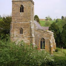
Church of St Peter Ad Vincula
2.5 km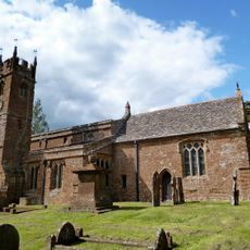
Church of St Mary Magdalene
3.3 km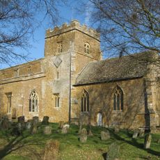
Church of St Ethelreda
2.6 km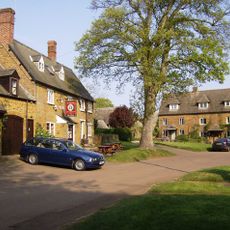
The Bell Inn
3.1 km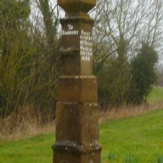
Stone Guide Post
3.7 km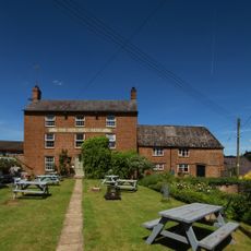
The Butchers Arms Public House
3.3 km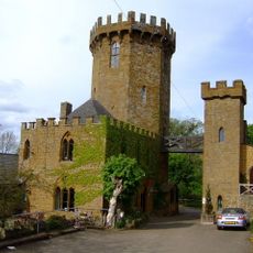
Gatehouse At The Castle Inn
3.1 km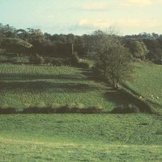
Ratley Motte
2.6 km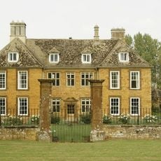
Arlescote House
3.7 km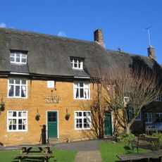
The North Arms Public House
3.9 km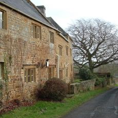
Manor House
2.6 km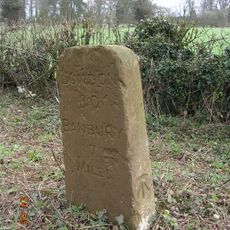
Milestone At Sp 3738 4584
2.1 km
Radway War Memorial Lychgate
4 km
Proffitt's House
69 m
Dovecote Approximately 200 Metres South West Of Wroxton College
4.1 km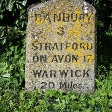
Milestone, Stratford Road; opp. White Horse PH
3.8 km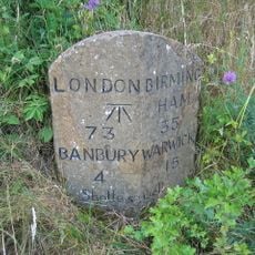
Milestone, rear northern village turn
2.7 km
Milestone, Splash Leys Farm
4.7 km
Milepost, bottom of Sun Rising Hill, on jct of UC road to Tysoe
4.1 kmVous avez visité ce lieu ? Touchez les étoiles pour le noter et partager votre expérience ou vos photos avec la communauté ! Essayez maintenant ! Vous pouvez annuler à tout moment.
Trouvez des trésors cachés à chaque coin de rue !
Des petits cafés pittoresques aux points de vue planqués, fuyez la foule et dénichez les lieux qui vous ressemblent vraiment. Notre app vous facilite la vie : recherche vocale, filtres malins, itinéraires optimisés et bons plans partagés par des voyageurs du monde entier. Téléchargez vite pour vivre l'aventure en version mobile !

Une approche inédite de la découverte touristique❞
— Le Figaro
Tous les lieux qui valent la peine d'être explorés❞
— France Info
Une excursion sur mesure en quelques clics❞
— 20 Minutes