
High Roding, village and civil parish in Essex, England
Emplacement : Uttlesford
Coordonnées GPS : 51.82790,0.32661
Dernière mise à jour : 1 avril 2025 à 13:27
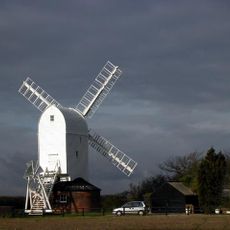
Aythorpe Roding Windmill
2.2 km
Great Canfield Castle
1.3 km
High Wood, Dunmow
5 km
Garnetts Wood and Barnston Lays
3.5 km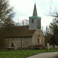
Parish Church of St Mary
1.5 km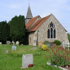
Parish Church of St Michael and All Angels
3.9 km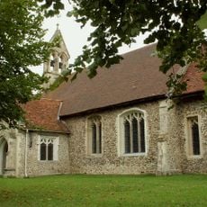
Parish Church of All Saints
1.3 km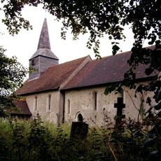
Parish Church of St Mary
2.5 km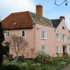
Garnish Hall
5 km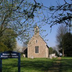
Parish Church of St Margaret
5 km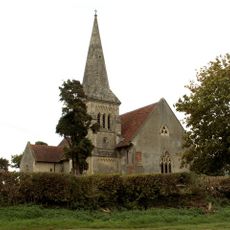
Church of All Saints
4.4 km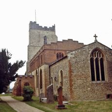
Parish Church of St Mary
2.7 km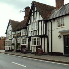
The Black Lion Public House
264 m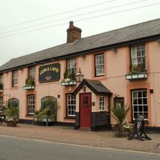
Lion And Lamb Public House
5.1 km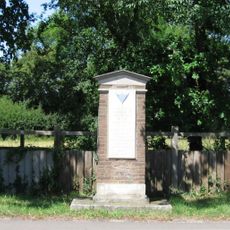
386th Bomb Group USAAF Memorial, Little Canfield
4.6 km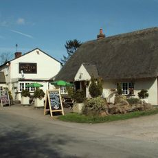
Spotted Dog Public House
2.8 km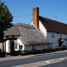
Axe And Compasses Public House
2.1 km
The Old Lamb (Public House)
529 m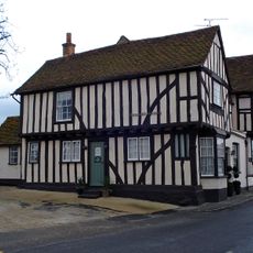
Cock And Bell
2.7 km
Poplars Farmhouse
3.1 km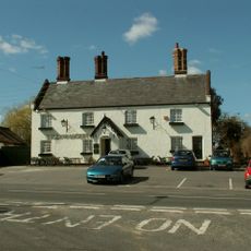
Kicking Dickey
5.1 km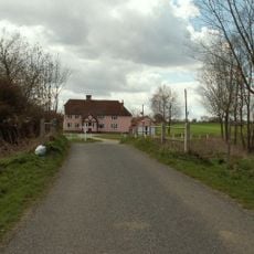
Motts Green Farmhouse
4.4 km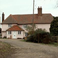
Games Farmhouse
4.1 km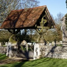
Lychgate And Boundary Wall To Church Of St Mary
1.5 km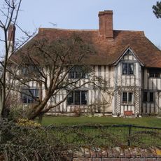
Lucas Farm House
4.2 km
Barn On Roadside At Falconers Hall Known As The Top Barn Barn On Roadside At Faulkner's Hall Known As The Granary
5.2 km
Friars Grange Farmhouse
2.6 km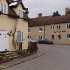
The Punch Bowl
2.7 kmAvis
Vous avez visité ce lieu ? Touchez les étoiles pour le noter et partager votre expérience ou vos photos avec la communauté ! Essayez maintenant ! Vous pouvez annuler à tout moment.
Trouvez des trésors cachés à chaque coin de rue !
Des petits cafés pittoresques aux points de vue planqués, fuyez la foule et dénichez les lieux qui vous ressemblent vraiment. Notre app vous facilite la vie : recherche vocale, filtres malins, itinéraires optimisés et bons plans partagés par des voyageurs du monde entier. Téléchargez vite pour vivre l'aventure en version mobile !

Une approche inédite de la découverte touristique❞
— Le Figaro
Tous les lieux qui valent la peine d'être explorés❞
— France Info
Une excursion sur mesure en quelques clics❞
— 20 Minutes