
Hollym, village britannique
Emplacement : East Riding of Yorkshire
Coordonnées GPS : 53.70603,0.03667
Dernière mise à jour : 8 mars 2025 à 09:42
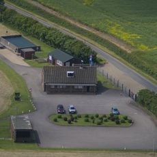
RAF Holmpton
3.2 km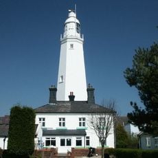
Phare de Withernsea
2.8 km
St. Patrick's Church, Patrington
4 km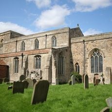
St Mary's Church, Welwick
4.1 km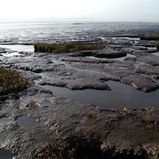
Birstall Priory
7 km
RAF Holmpton - Visit the Bunker
3.2 km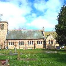
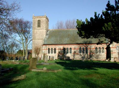
Church of St Nicholas
74 m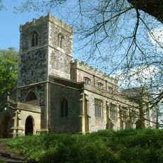
Church of All Saints
7 km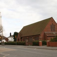
Church of St Matthew
2.8 km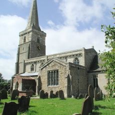
Church of St Wilfred
7.8 km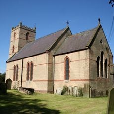
Church of St Nicholas
2.9 km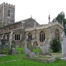
Church of St Nicholas
2.5 km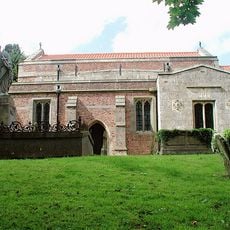
Church of St Germain
4.9 km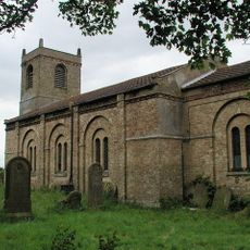
Church of St Mary
4.9 km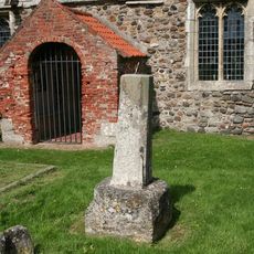
Cross Approximately 6 Metres South Of Church Of St Helen
6.7 km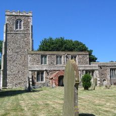
Church of St Helen
6.7 km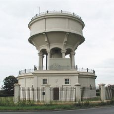
Rimswell Water Tower
4.7 km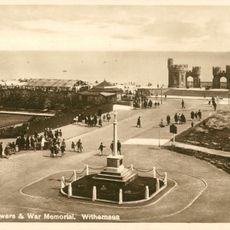
Withernsea Old War Memorial
2.5 km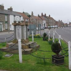
Patrington War Memorial
4.1 km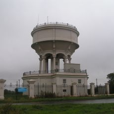
Gate, Flanking Walls And Railings Approximately 10 Metres West Of Rimswell Water Tower
4.7 km
Channel Farmhouse
8 km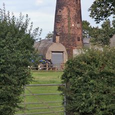
Patrington Mill
3.9 km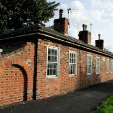
Linsdall's Hospital And Flanking Walls
3.9 km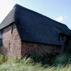
Tithe Barn
8.1 km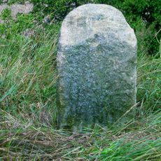
Milestone Approximately 130 Metres East Of Beck Bridge
7.2 km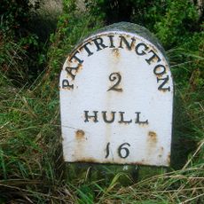
Milestone Approximately 30 Metres North West Of Junction With Winestead Ings Lane
5.7 km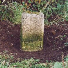
Milestone, Winestead, N of entrance to Manor Farm
4.6 km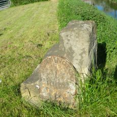
Milestone, Winstead Bridge, 1 mile W of Patrington
4.8 kmAvis
Vous avez visité ce lieu ? Touchez les étoiles pour le noter et partager votre expérience ou vos photos avec la communauté ! Essayez maintenant ! Vous pouvez annuler à tout moment.
Trouvez des trésors cachés à chaque coin de rue !
Des petits cafés pittoresques aux points de vue planqués, fuyez la foule et dénichez les lieux qui vous ressemblent vraiment. Notre app vous facilite la vie : recherche vocale, filtres malins, itinéraires optimisés et bons plans partagés par des voyageurs du monde entier. Téléchargez vite pour vivre l'aventure en version mobile !

Une approche inédite de la découverte touristique❞
— Le Figaro
Tous les lieux qui valent la peine d'être explorés❞
— France Info
Une excursion sur mesure en quelques clics❞
— 20 Minutes