
Baulking, village and civil parish in Vale of White Horse district, Oxfordshire, England
Emplacement : Vale of White Horse
Coordonnées GPS : 51.61479,-1.54288
Dernière mise à jour : 25 mars 2025 à 04:12
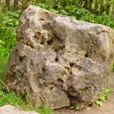
Blowing Stone
3.7 km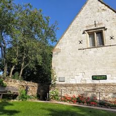
Tom Brown’s School Museum
2.2 km
Church of St Faith
2.8 km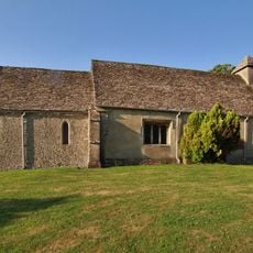
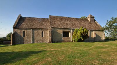
Church of St Nicholas
59 m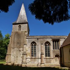
Church of the Holy Rood
4.4 km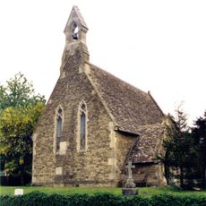
Church of St John
2.7 km
Church of St John the Baptist
3.3 km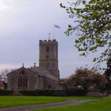
Church of St Denys
3.7 km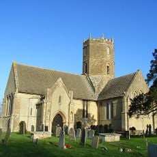
Church of St Mary
2.1 km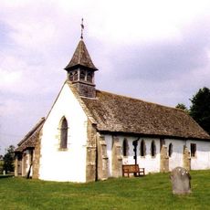
Church of All Saints
4 km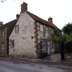
The Old Chapel House And Attached Gates
3.1 km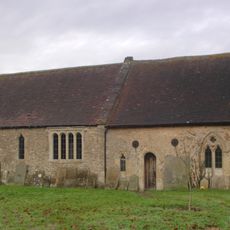
The Old Church of St George
4.5 km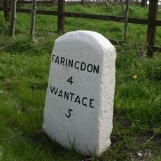
Milestone
3.2 km
Corner Cottage
2.7 km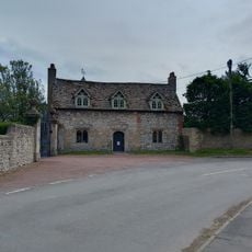
Kingston Lisle Park, The Lodge And Attached Gate Piers
3.3 km
Manor Farmhouse
3.2 km
Coxs Hall
3.3 km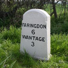
Milestone At Su 3612 9010
4.4 km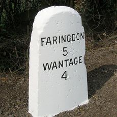
Milestone At Su 3505 9126
3.3 km
Thornhill House
3.2 km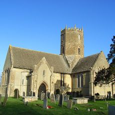
Uffington
3.6 km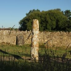
Base And Stump Of Churchyard Cross Approximately 12 Metres North Of Church Of All Saints
4 km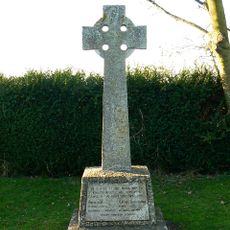
Kingston Lisle War Memorial
2.8 km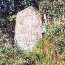
Milestone, Icknield Way; W of Blowing Stone
3.7 km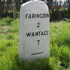
Milestone
3.6 km
Little Farmhouse
3.2 km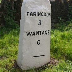
Milestone, Faringdon Road; E of Stanford Quarry
3.4 km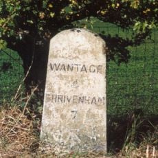
Milestone, Icknield Way; top of rise by Westcot
4.2 kmVous avez visité ce lieu ? Touchez les étoiles pour le noter et partager votre expérience ou vos photos avec la communauté ! Essayez maintenant ! Vous pouvez annuler à tout moment.
Trouvez des trésors cachés à chaque coin de rue !
Des petits cafés pittoresques aux points de vue planqués, fuyez la foule et dénichez les lieux qui vous ressemblent vraiment. Notre app vous facilite la vie : recherche vocale, filtres malins, itinéraires optimisés et bons plans partagés par des voyageurs du monde entier. Téléchargez vite pour vivre l'aventure en version mobile !

Une approche inédite de la découverte touristique❞
— Le Figaro
Tous les lieux qui valent la peine d'être explorés❞
— France Info
Une excursion sur mesure en quelques clics❞
— 20 Minutes