
Harpsden, localité britannique du comté anglais d'Oxfordshire
Emplacement : South Oxfordshire
Partage une frontière avec : Rotherfield Greys, Shiplake, Henley-on-Thames, Rotherfield Peppard, Sonning Common, Binfield Heath with Eye and Dunsden
Coordonnées GPS : 51.52400,-0.90200
Dernière mise à jour : 6 mars 2025 à 18:12
Friar Park
2 km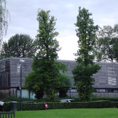
River and Rowing Museum
1 km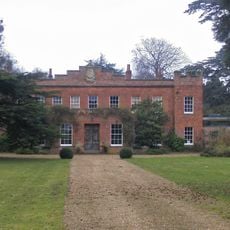
Crowsley Park
3.7 km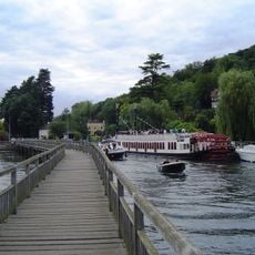
Marsh Lock
1.1 km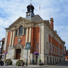
Town Hall
1.5 km
Conway's Bridge
1.5 km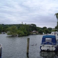
Rod Eyot
1.1 km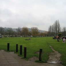
Mill Meadows
1 km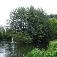
Ferry Eyot
1.6 km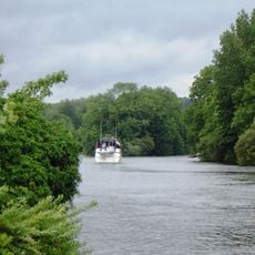
Handbuck Eyot
1.8 km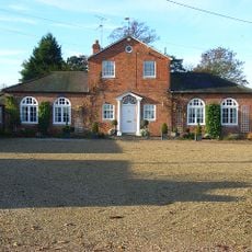
Bellehatch Park House
1.9 km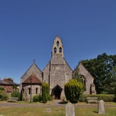
Holy Trinity Church
1.2 km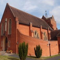
Roman Catholic Church of the Sacred Heart
655 m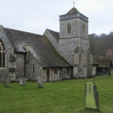
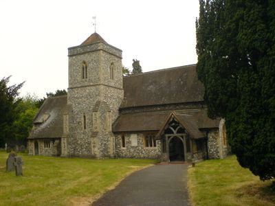
Church of St Margaret
233 m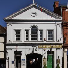
The Old Assembly Rooms
1.6 km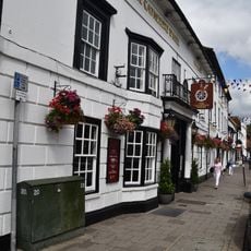
Catherine Wheel Hotel
1.5 km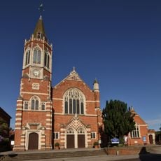
Congregational Church
1.2 km
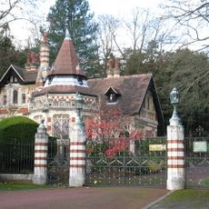
Middle Lodge In Friar Park
1.8 km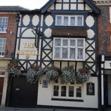
The Argyle Public House
1.5 km
Lower Shiplake War Memorial
1.7 km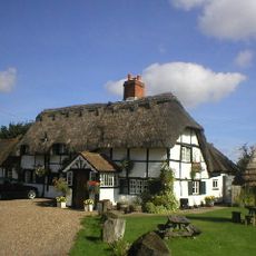
The Bottle And Glass Public House
2.6 km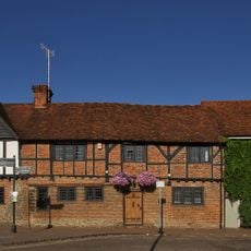
11, Thameside
1.4 km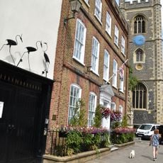
Longlands
1.5 km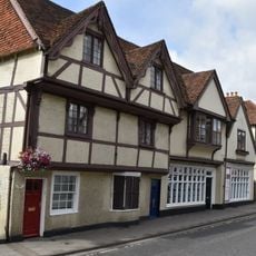
48 And 50, Hart Street
1.5 km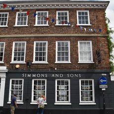
32, Bell Street
1.6 km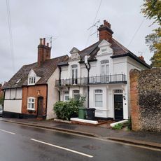
47 And 49, Gravel Hill
1.5 km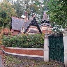
Railed Wall Piers And Gates At Middle Lodge In Friar Park
1.8 km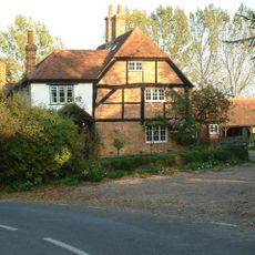
Shiplake Rise Farmhouse
2.8 kmVous avez visité ce lieu ? Touchez les étoiles pour le noter et partager votre expérience ou vos photos avec la communauté ! Essayez maintenant ! Vous pouvez annuler à tout moment.
Trouvez des trésors cachés à chaque coin de rue !
Des petits cafés pittoresques aux points de vue planqués, fuyez la foule et dénichez les lieux qui vous ressemblent vraiment. Notre app vous facilite la vie : recherche vocale, filtres malins, itinéraires optimisés et bons plans partagés par des voyageurs du monde entier. Téléchargez vite pour vivre l'aventure en version mobile !

Une approche inédite de la découverte touristique❞
— Le Figaro
Tous les lieux qui valent la peine d'être explorés❞
— France Info
Une excursion sur mesure en quelques clics❞
— 20 Minutes