
Trusley, localité britannique du comté anglais de Derbyshire
Emplacement : South Derbyshire
Partage une frontière avec : Brailsford, Osleston and Thurvaston, Ash, Dalbury Lees, Kirk Langley
Coordonnées GPS : 52.91700,-1.62300
Dernière mise à jour : 23 mars 2025 à 01:16
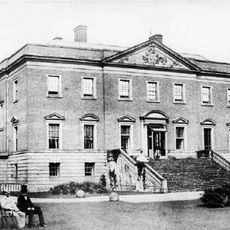
Radbourne Hall
3.2 km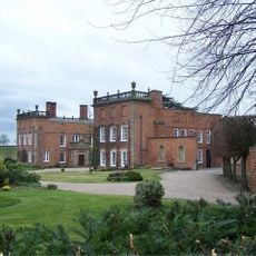
Longford Hall
4.8 km
Ednaston Manor
6.9 km
Mackworth Castle
6.3 km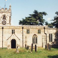
St Andrew's Church, Radbourne
3.2 km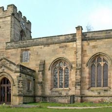
Church of St Helen
3.9 km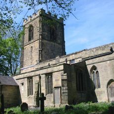
Church of All Saints
5.8 km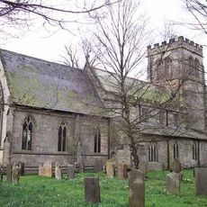
St Chad's Church, Longford
4.8 km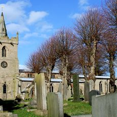
St Michael and All Angels' Church, Church Broughton
5.2 km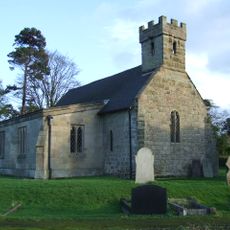
All Saints' Church, Dalbury
1.6 km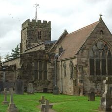
Church of St Michael
4.6 km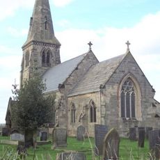
St Michael's Church, Sutton-on-the-Hill
2.2 km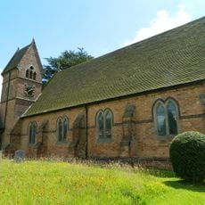
Christ Church, Long Lane
2.5 km
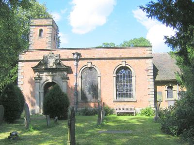
All Saints Church
100 m
Church of All Saints
5.3 km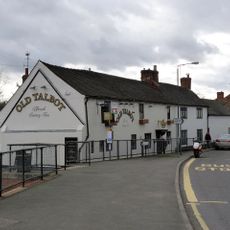
The Old Talbot Inn
5 km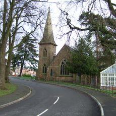
Church At Pastures Hospital
5 km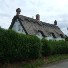
Yew Tree Cottage
6.6 km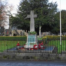
Mickleover War Memorial
5.3 km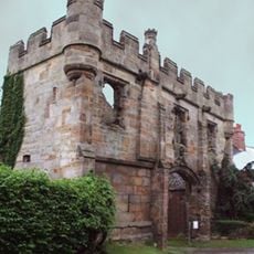
Gatehouse to Mackworth Castle
6.3 km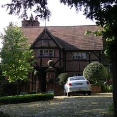
Old Hall
5.3 km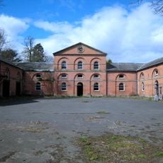
Stable Block And Coach House At Longford Hall Farm
4.9 km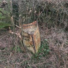
Milepost At Os 293 387
4.9 km
Shirley Mill Farmhouse
6.7 km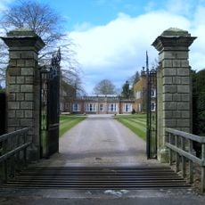
Gates And Gatepiers To East Of Longford Hall
4.7 km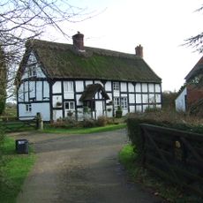
Chapelhouse Farmhouse
2.9 km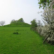
Hoon Mount platformed bowl barrow
4.5 km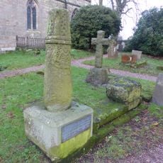
Anglo-Scandinavian high cross shaft and medieval cross base in the churchyard of All Saints' Church
5.8 kmAvis
Vous avez visité ce lieu ? Touchez les étoiles pour le noter et partager votre expérience ou vos photos avec la communauté ! Essayez maintenant ! Vous pouvez annuler à tout moment.
Trouvez des trésors cachés à chaque coin de rue !
Des petits cafés pittoresques aux points de vue planqués, fuyez la foule et dénichez les lieux qui vous ressemblent vraiment. Notre app vous facilite la vie : recherche vocale, filtres malins, itinéraires optimisés et bons plans partagés par des voyageurs du monde entier. Téléchargez vite pour vivre l'aventure en version mobile !

Une approche inédite de la découverte touristique❞
— Le Figaro
Tous les lieux qui valent la peine d'être explorés❞
— France Info
Une excursion sur mesure en quelques clics❞
— 20 Minutes