
Hinton Waldrist, village and civil parish in Vale of White Horse district, Oxfordshire, England
Emplacement : Vale of White Horse
Coordonnées GPS : 51.68891,-1.45798
Dernière mise à jour : 25 mars 2025 à 04:12
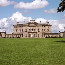
Buckland House
3.6 km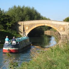
Tadpole Bridge
4.3 km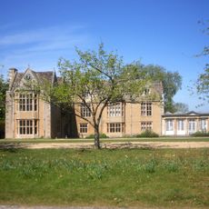
Carswell Manor
5.1 km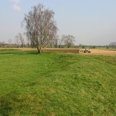
Cherbury Camp
2.8 km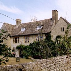
Charney Manor
4.6 km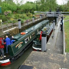
Shifford Lock
2 km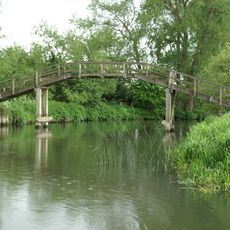
Tenfoot Bridge
2.3 km
Longworth House
872 m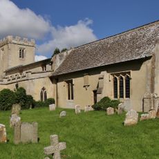
Church of St Mary
941 m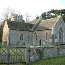
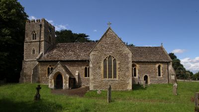
Church of St Margaret, Hinton Waldrist
75 m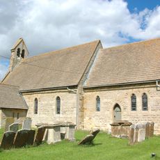
Church of St Mary
2.9 km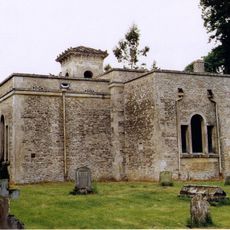
Church of All Saints
2.9 km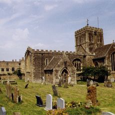
Church of St Mary, Buckland
3.4 km
Church of St John the Baptist
3.3 km
Roman Catholic Church of St George, Buckland
3.5 km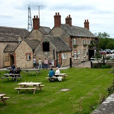
The Trout Inn
4.3 km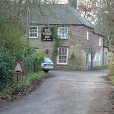
The Lamb Public House
3.6 km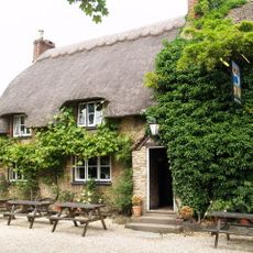
The Blue Boar Public House
1.5 km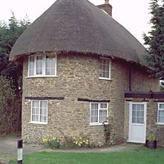
The Round House
1.6 km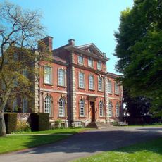
Kingston House
3.4 km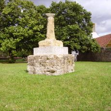
Village Cross
4.4 km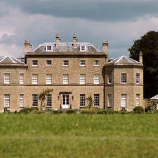
Pusey House
2.8 km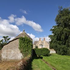
Longworth Manor, Wall And Gazebo 30 Metres East
875 m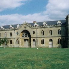
Manor House
3.4 km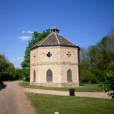
Home Farm Dovecote
4.2 km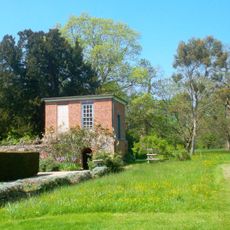
Gazebo, Terrace Walls, Gates, Gatepiers And Wall Approximately 74 Metres North West Of Kingston House
3.4 km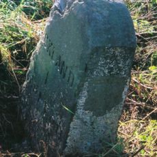
Milestone, Buckland Marsh; Gore Farm
4 km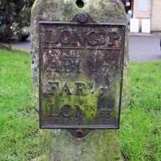
Milestone, Faringdon Road; in front of shops
2.4 kmAvis
Vous avez visité ce lieu ? Touchez les étoiles pour le noter et partager votre expérience ou vos photos avec la communauté ! Essayez maintenant ! Vous pouvez annuler à tout moment.
Trouvez des trésors cachés à chaque coin de rue !
Des petits cafés pittoresques aux points de vue planqués, fuyez la foule et dénichez les lieux qui vous ressemblent vraiment. Notre app vous facilite la vie : recherche vocale, filtres malins, itinéraires optimisés et bons plans partagés par des voyageurs du monde entier. Téléchargez vite pour vivre l'aventure en version mobile !

Une approche inédite de la découverte touristique❞
— Le Figaro
Tous les lieux qui valent la peine d'être explorés❞
— France Info
Une excursion sur mesure en quelques clics❞
— 20 Minutes