
Coleshill, localité britannique du comté anglais d'Oxfordshire
Emplacement : Vale of White Horse
Partage une frontière avec : Buscot, Watchfield, Longcot, Great Coxwell
Coordonnées GPS : 51.64200,-1.66060
Dernière mise à jour : 11 avril 2025 à 05:41
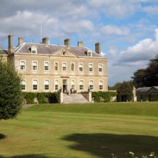
Buscot Park
3.2 km
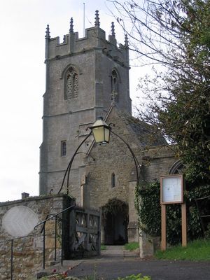
Church of All Saints
50 m
Buscot Park: East Pavilion With Attached Terrace Walls And Gatepier
3.2 km
16 and 17, Church Lane
36 m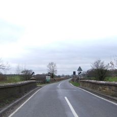
Coleshill Bridge (That Part In Coleshill C.P.)
294 m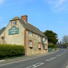
The Radnor Arms Public House
127 m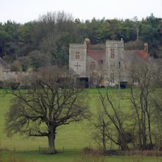
Strattenborough Castle
1.6 km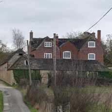
Collymore Farmhouse including former cattle shed range to south east
1.7 km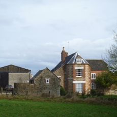
Ashencopse Farmhouse
1.5 km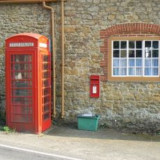
K6 telephone kiosk outside Coleshill Post Office
56 m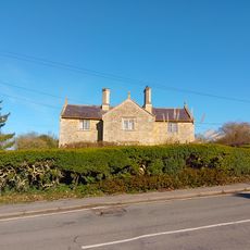
1 and 2
195 m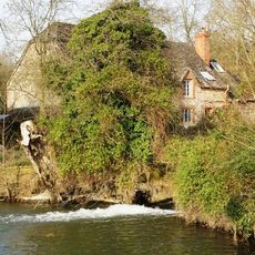
The Mill House
349 m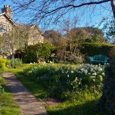
26 And 27
38 m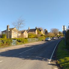
3 And 4
170 m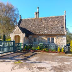
Lower Lodge To Coleshill Park
247 m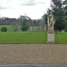
Buscot Park: Southern Screen With Attached Terrace Walls And Gate Piers
3.1 km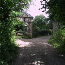
Waterloo Lodge
1.4 km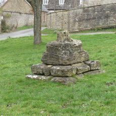
Village Cross
6 m
Courtleaze Farmhouse
179 m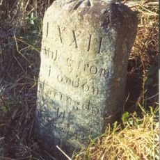
Milestone approximately 70 metres to west of turning to Great Coxwell
3.1 km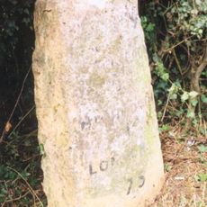
Milepost East Of Wicksted Farmhouse
1.6 km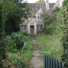
35-37
212 m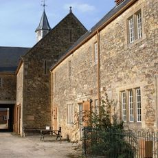
Courtleaze Farm buildings and attached gatepiers and rickyard walls
186 m
52 And 53
232 m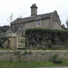
Bushells
37 m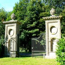
Coleshill Park, Great Piers, including cast iron gates
656 m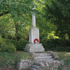
Coleshill War Memorial, Oxfordshire
104 m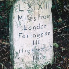
Milestone, W of Colleymore Farm
1.5 kmVous avez visité ce lieu ? Touchez les étoiles pour le noter et partager votre expérience ou vos photos avec la communauté ! Essayez maintenant ! Vous pouvez annuler à tout moment.
Trouvez des trésors cachés à chaque coin de rue !
Des petits cafés pittoresques aux points de vue planqués, fuyez la foule et dénichez les lieux qui vous ressemblent vraiment. Notre app vous facilite la vie : recherche vocale, filtres malins, itinéraires optimisés et bons plans partagés par des voyageurs du monde entier. Téléchargez vite pour vivre l'aventure en version mobile !

Une approche inédite de la découverte touristique❞
— Le Figaro
Tous les lieux qui valent la peine d'être explorés❞
— France Info
Une excursion sur mesure en quelques clics❞
— 20 Minutes